Ysgyryd Fawr (Skirrid Fawr) Hike guide, Brecon Beacons National Park
Ysgyryd Fawr (Skirrid Fawr) is a short but punchy hike located on the eastern edge of the Brecon Beacons National Park.
The mountains isolated location, means it rises dramatically out of the landscape and the summit offers terrific 360 panoramic views.
Key Information
Type: Out & Back
Distance: 4.3Km
Elevation Gain: 294m
Difficulty: Moderate
Parking & start point: narrates.florists.fine
Where to park for Ysgyryd Fawr?
There is a large gravel National Trust car park located off the B5421 just outside Abergavenny. It is pay and display but for members it is free.
Find me on Instagram
The route
Head to the bottom of the western end of car park and turn right, heading up a wide path between two fields . After around 300m you will enter Caer Wood and the path will begin to climbs and snake its way up through the woodland.
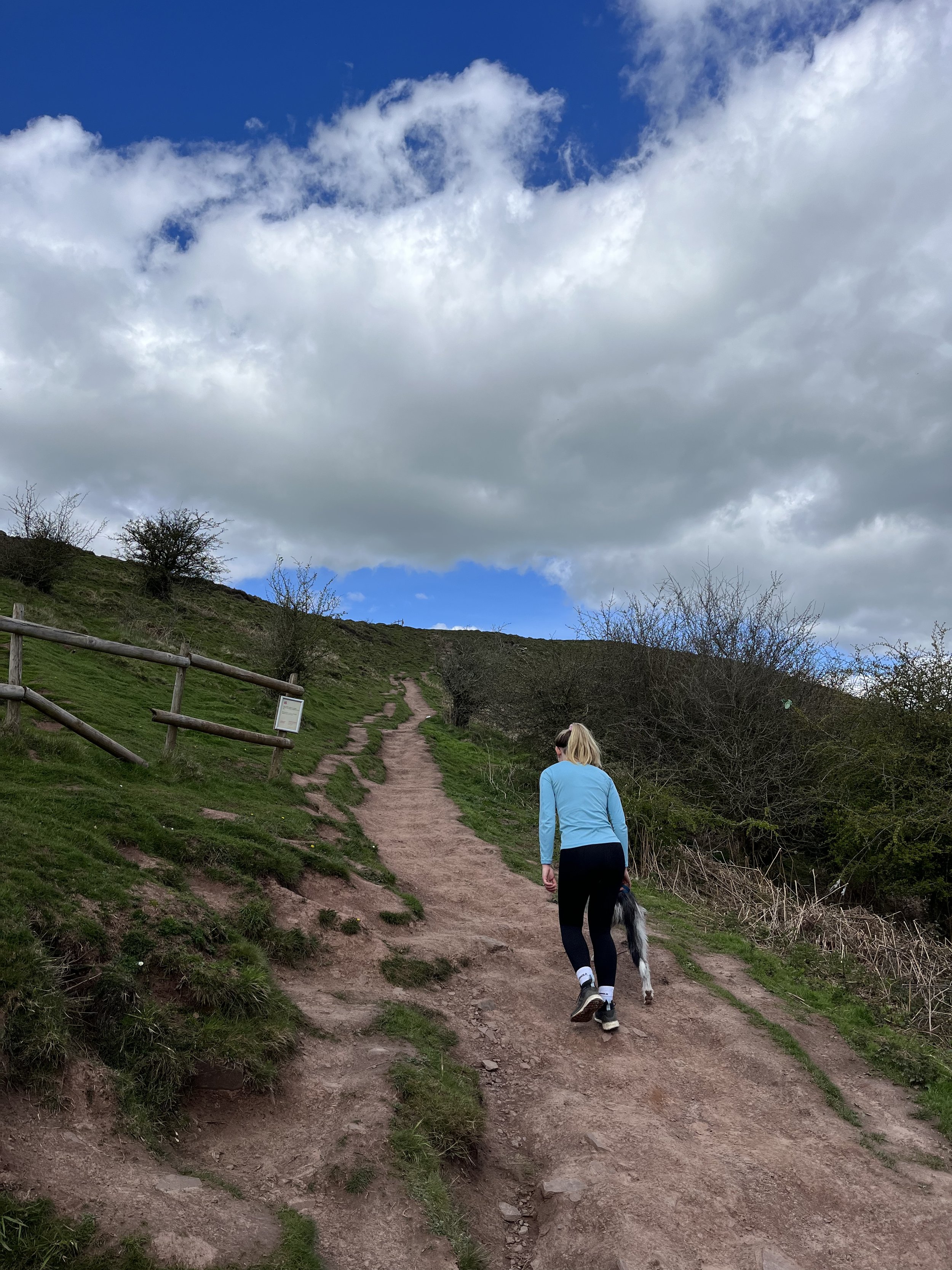
There are some steep sections and the path can be muddy underfoot however it isn’t at all technical.
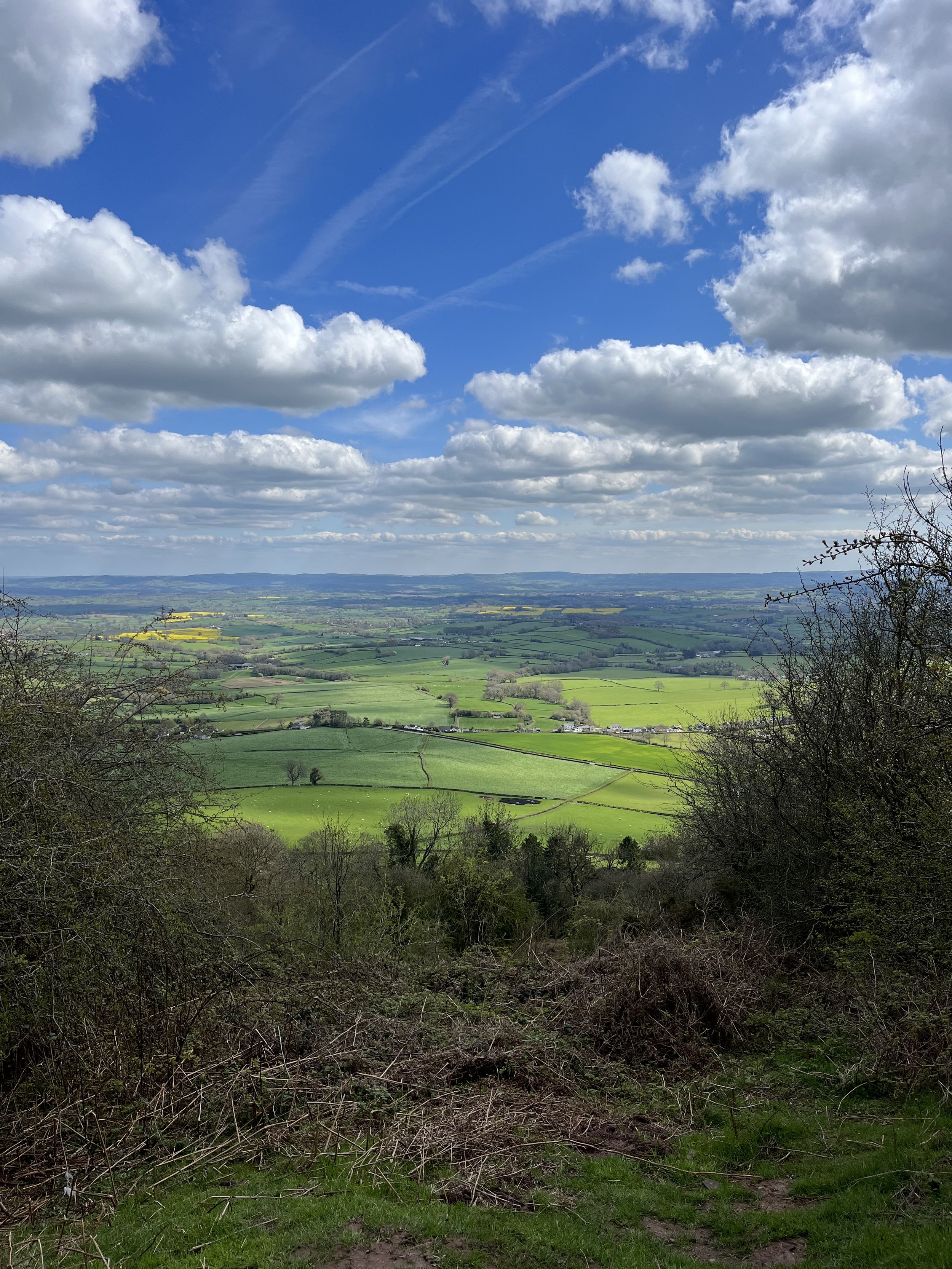
After around 600m of hiking you will break though from the forest and be granted a first glimpse of the beautiful views down over the valley below. From here its one final punchy climb up onto the rocky ridge like plateau of Skirrid Fawr.
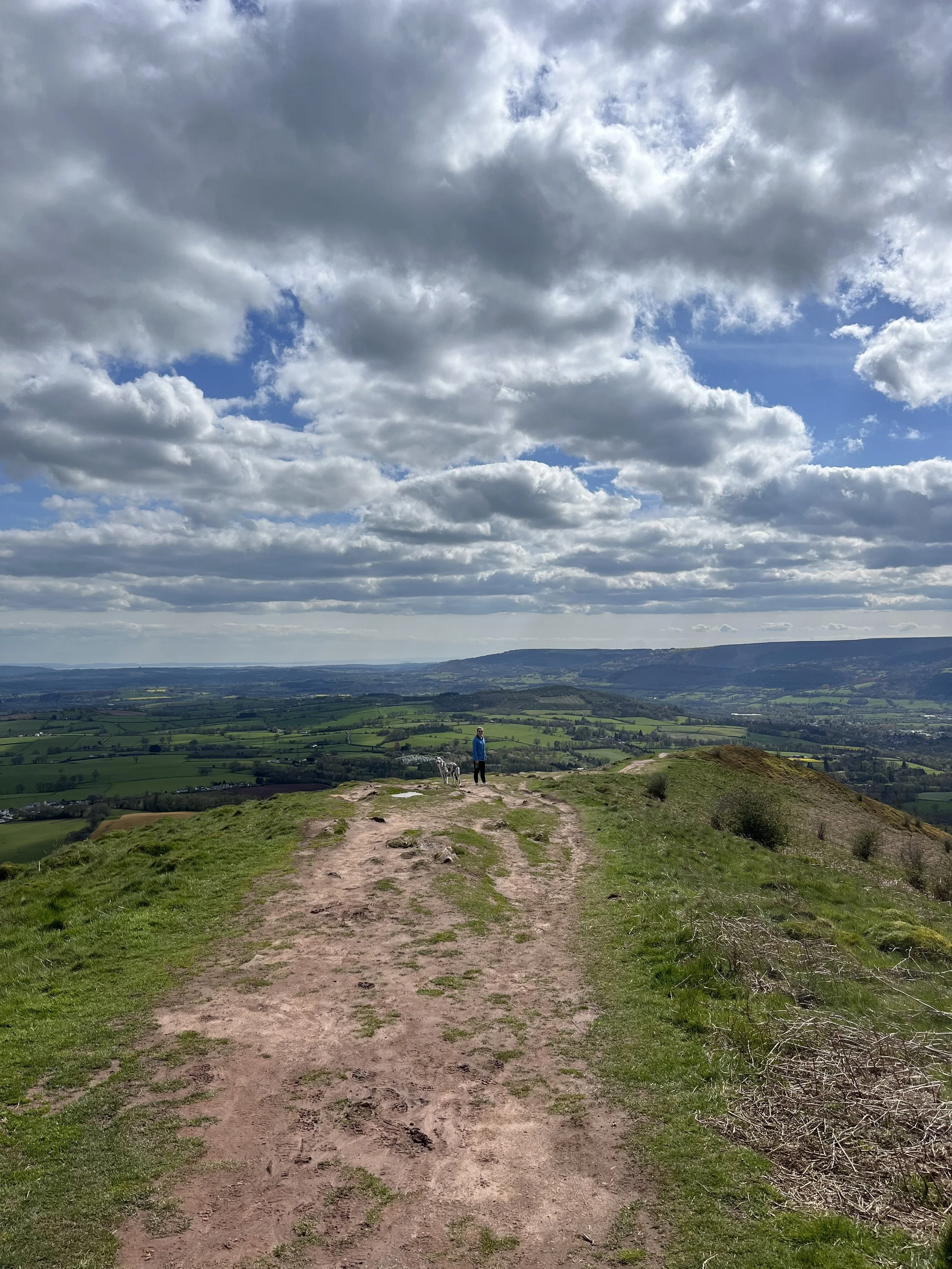
Once up on the plateau the path will climb gently up to the summit which is marked by a National Trust trig point.
Ysgyryd Fawr summit
Despite peak being a moderate 486m in height, its isolated location means it rises dramatically out of the landscape and offers sensational panoramic views.
On a clear day you can see the Black Mountains, Abergavenny, the Malvern and Herefordshire hills, the Wye and Usk Valley's, the Forest of Dean, the Bristol Channel and even Somerset.
You also have the iconic Sugar Loaf located directly to the west, with the distance between both summits being approximately 6km.
The Skirrids distinct shape is due to a massive landslide which occurred on on the north west side of the mountain. Its also where the mountain gets its name from. With the name ‘Skirrid’ being derived from the Welsh word ‘Ysgyryd’, which means to shake or tremble.
To get down to your car you can either retrace your steps, or follow one of the many steep paths down the eastern and western sides of the mountain, before circling back to the car park.
So there we have it, my hike guide to Ysgyryd Fawr (The Skirrid).
It is a terrific little hike which is well worth doing if you are in the area or if you are short on time.
I loved that route passes through a wonderful woodland before emerging out just beneath the summit.
The panoramic 360 degree views which the summit offers also makes it a great choice for both sunrise and sunset.
Did you find the blog useful? Let me know your thoughts in the comments below.
If you did find the blog helpful, I’d appreciate you giving it a share or giving me a follow on social media, every bit of support goes a long way.
For more hiking inspiration check out my other guides below
For some Welsh travel inspiration check out my in-depth guides to each of my favourite Welsh regions below.


