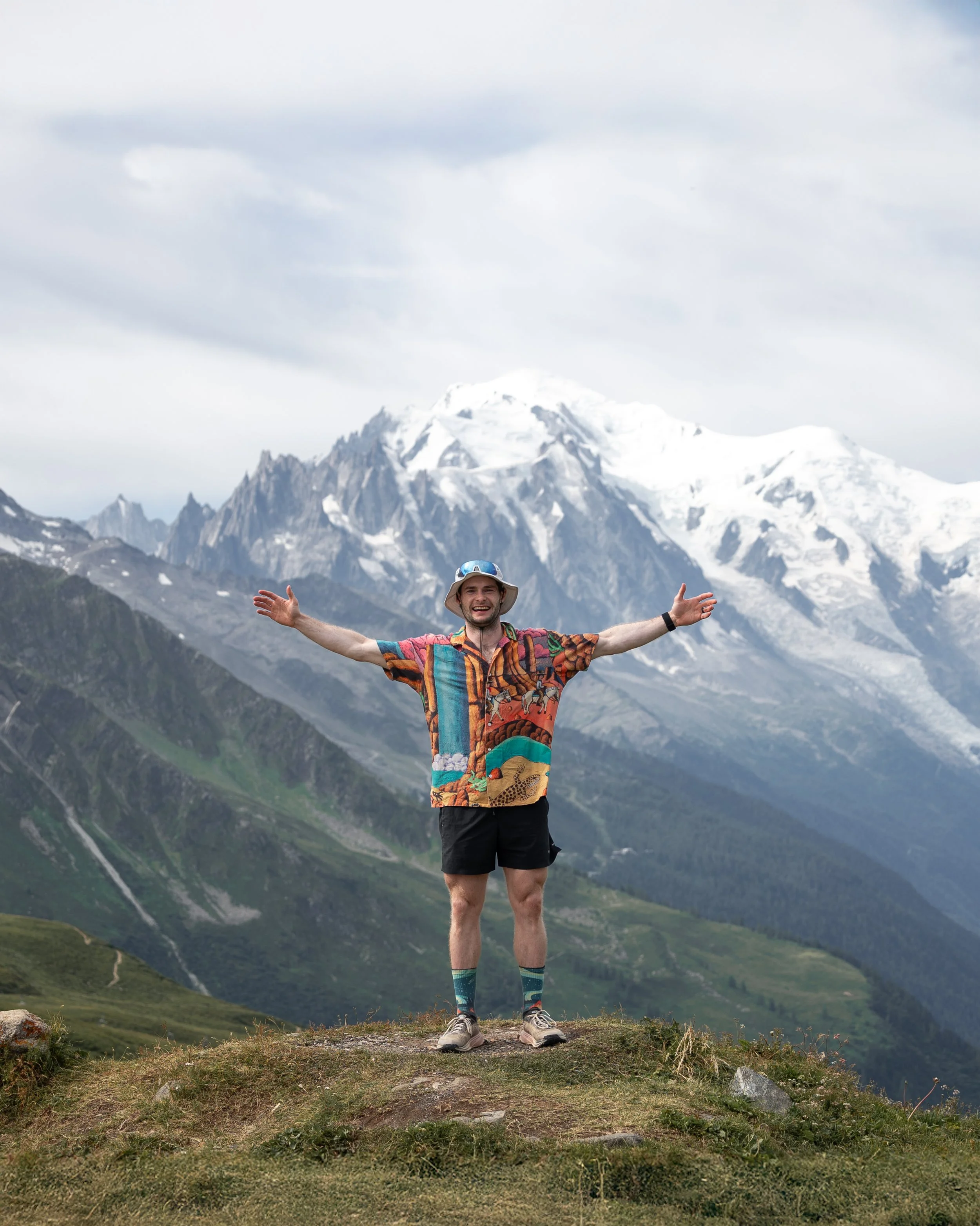
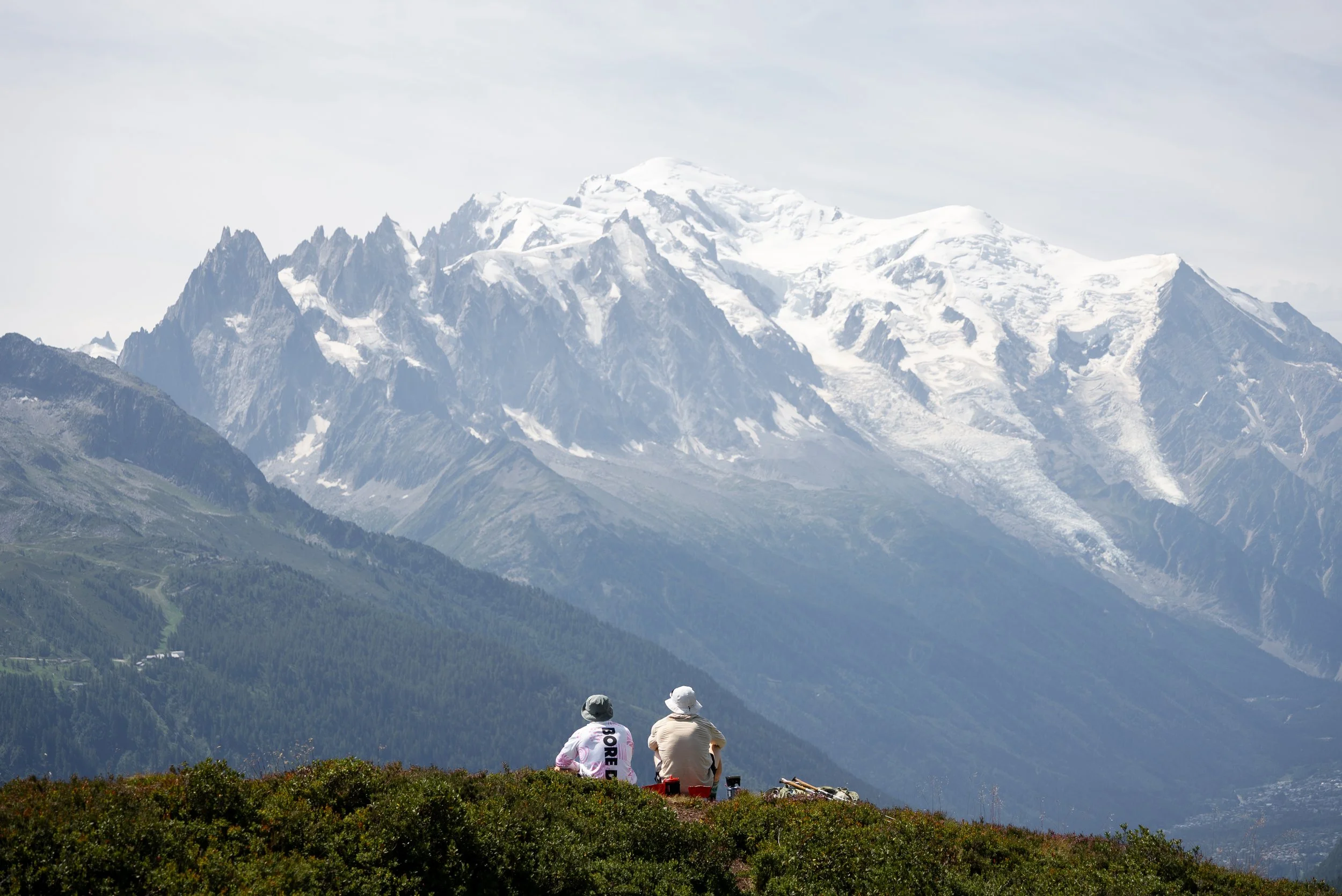
There are multi-day hikes, and then there is the Tour du Mont Blanc.
Circling the highest mountain in Western Europe, the Tour du Mont Blanc, or TMB, involves more than 10,000m of elevation gain and winds for roughly 170km through France, Italy and Switzerland.
It is easy to see why it is one of the most iconic long-distance hikes in the world.
Alongside passing through three countries, the route crosses mountain passes, skirts beneath glaciers and links together some of the most spectacular valleys in the Alps.
However, not everyone has the time, fitness, equipment, or organisational skills needed to walk and plan the full 170km route, while others have no desire to carry a heavy backpack around an entire mountain range for nearly two weeks.
I was one of those people. I had the fitness, but I prefer travelling light and fast, especially when I factor in all my camera gear.
I also did not have the time or forward planning needed to deal with the organisational headache of booking accommodation along the TMB. Mountain huts often need to be reserved several months in advance, and even then, finding availability across the entire route can be incredibly difficult.
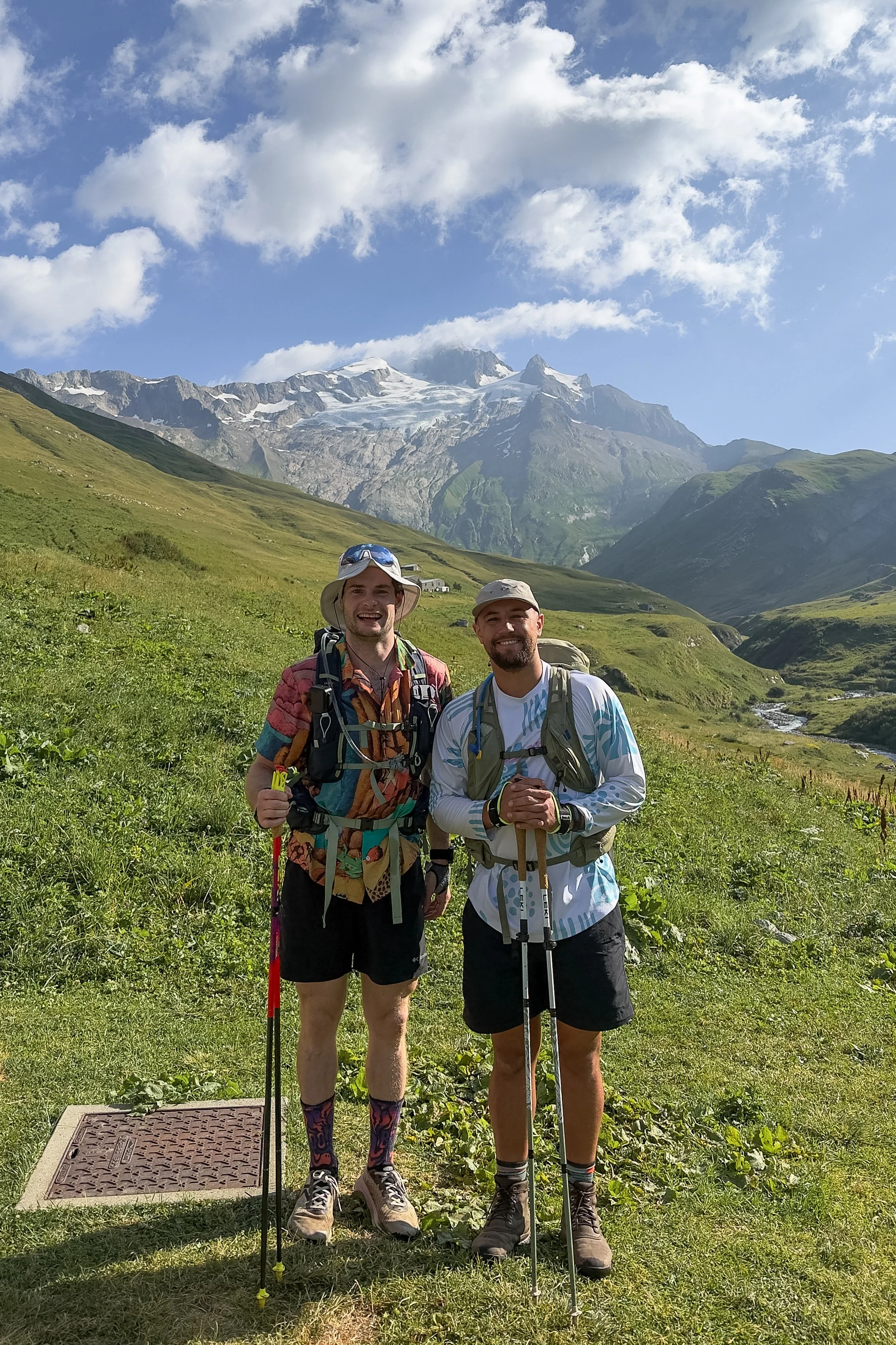
More importantly, I wanted to share the journey with my close friend and former Wales Sevens teammate, Luke Treharne.
Although rugby fit, Luke is not an experienced hiker, let alone a multi-day hiker. He was also recovering from a calf injury and had completed just one hike in the six weeks before we set off.
We therefore wanted to strike a balance, experiencing the beauty, challenge and atmosphere of the Tour du Mont Blanc without walking the full route or dealing with the logistical stress of organising it ourselves.
Step forward Travelbase’s Mont Blanc Trail.
A five-day self-guided adventure that follows some of the highlights of the Tour du Mont Blanc.
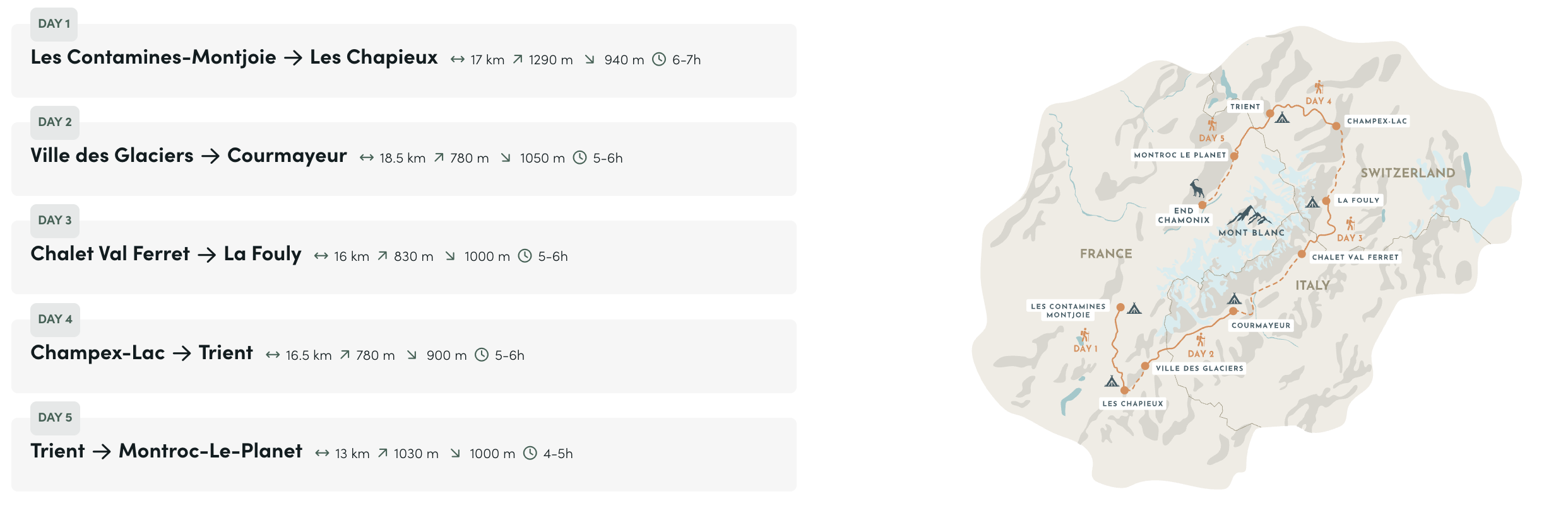
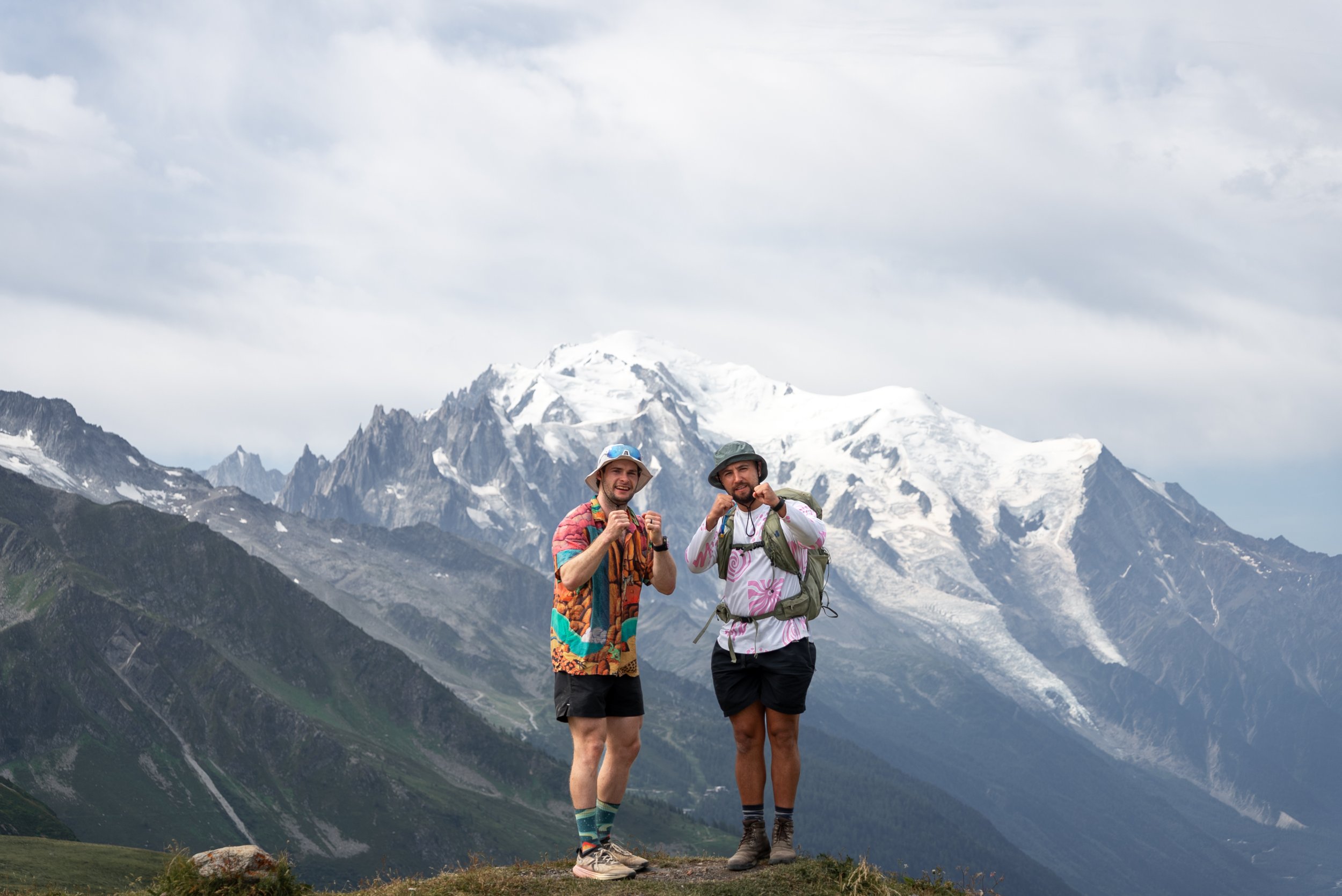
Across five days, we hiked just shy of 90km with more than 5,600m of ascent, passing through France, Italy, and Switzerland and experiencing the landscapes and trails which make the Tour du Mont Blanc so special.
We also chose the hut package, which meant I could finish each day with a proper bed, a filling meal and a hot shower.
In this guide, I will share our complete five-day journey, document my experience, explain exactly what is included, answer the most common questions and give my honest opinion on whether Travelbase’s Mont Blanc Trail really does capture the highlights of the TMB.
What Is the Mont Blanc Trail?
The Mont Blanc Trail is a five-day, self-guided hiking adventure organised by Travelbase, following a carefully selected route along some of the best sections of the Tour du Mont Blanc.
Rather than completing the full 170km circuit, the route uses transfers to connect five of its most scenic stages. This cuts out several of the flatter valley sections while keeping the high mountain passes, glaciers, border crossings and Alpine views that make the TMB so special.
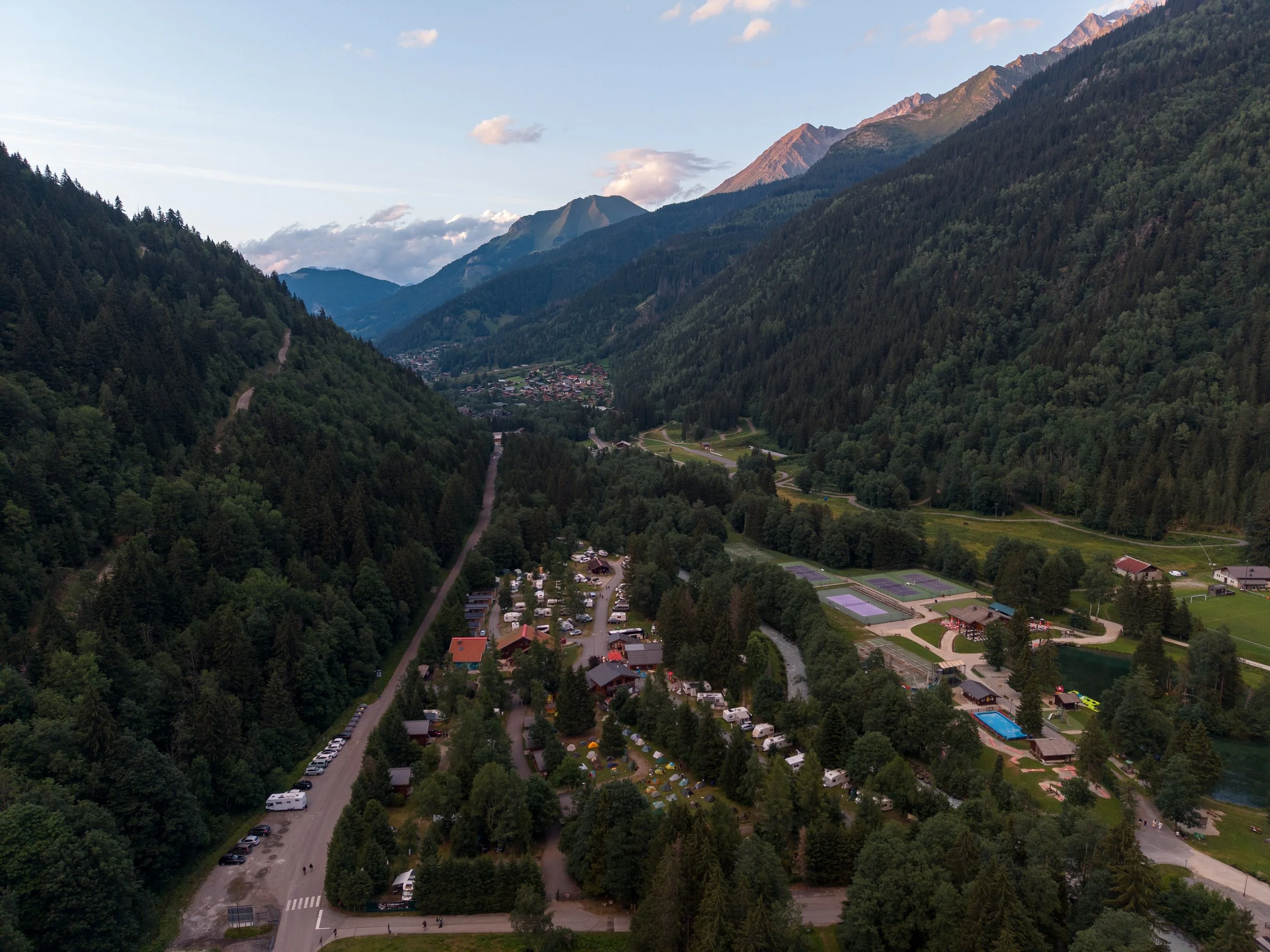
The trip starts near Les Contamines in France (Stage 2 of the 11 ‘formal’ stages of the TMB) and finishes at Montroc (End of Stage 9) just outside Chamonix.
Along the way, you cross into Italy over the Col de la Seigne, enter Switzerland via the Grand Col Ferret, and return to France over the Col de Balme.
Despite being an organised trip, the Mont Blanc Trail is not a guided hike.
Travelbase takes care of the route, accommodation, transfers and practical details, removing much of the stress involved in organising a multi-day hike across three countries while still giving you the freedom and independence of a self-guided adventure.
Each evening, the Travelbase rangers provide a detailed briefing covering the following day’s route, trail conditions, water points, recommended lunch stops and anything else you need to know. You are then free to hike at your own pace, using the Travelbase app and GPX files to navigate.
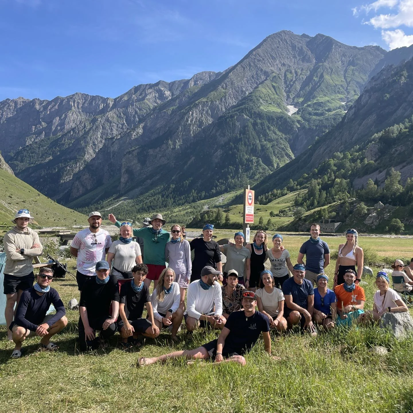
You are also part of a larger group of people who may be hiking for different reasons, but are all sharing the same journey. Our trip included 20 other people from across Europe, with a wide range of ages, fitness levels and hiking experience.
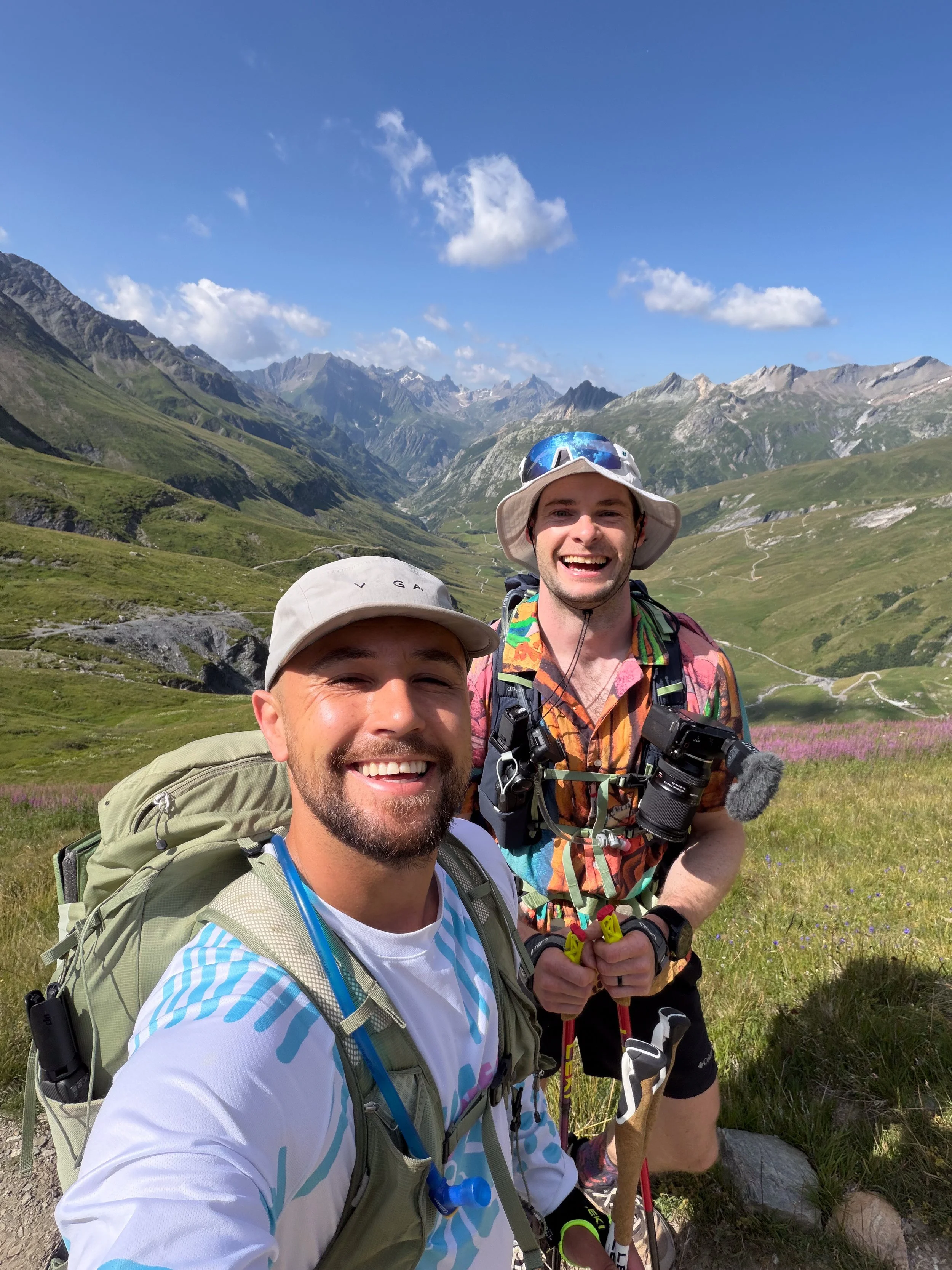
You can hike alone, with the person you travelled with or team up with other members of the group, which is what many of the solo female travellers chose to do. Luke and I mostly hiked together, but we regularly bumped into everyone else at mountain huts, viewpoints and lunch stops.
At the end of each day, everyone reunited at the accommodation, whether that was a campsite or a hut. After the briefing, you could choose to wind down by yourself or socialise with the group over food and a few well-earned drinks.
It combines the organisation and support of a group trip with the flexibility of hiking independently. It is the best of both worlds.
-
The Base Package of The Mont Blanc Trail starts from €595 per person, and includes:
Five nights of camping in France, Italy and Switzerland
Campsite fees and tourist taxes
Access to showers and toilet facilities at most campsites
All transfers between the daily hiking stages
The train from Montroc-Le-Planet to Chamonix after Day 5
Daily briefings and support from the Travelbase rangers
Access to the Mont Blanc Trail app
The complete hiking itinerary
A detailed equipment list and preparation advice
Camping equipment is not included, so you either need to bring your own tent, sleeping bag and sleeping mat or rent them through Travelbase.
-
Shuttle to the Starting Point
Travelbase offers an optional shuttle from Saint-Gervais-les-Bains Le Fayet station to the starting accommodation near Les Contamines.
As public transport does not take you all the way to the accommodation on the first night, I think this is the easiest option. It removes the stress of lining up public transport, particularly as buses can be infrequent, and allows you to meet a few members of the group before the trip starts.
The shuttle usually departs from the train station at 5:30pm on the day before your hike begins.
Hut Accommodation
I decided against carrying a tent around Mont Blanc and selected the hut package, which was an additional €425 per person when I booked.
I enjoy camping, but I wanted to travel as lightly as possible, especially as I was already carrying enough camera equipment to document a small natural history series.
You should not expect five nights of luxury hotels. Most of the accommodation is designed for hikers in remote locations, so bunk beds, dormitory rooms and shared bathrooms are all part of the experience.
That said, everywhere was basic but comfortable, and every location had access to hot showers and charging facilities.
The highlight was definitely Night 2, when we had our own room, private bathroom and an incredible three-course meal overlooking the reservoir.
The hut package also included all five breakfasts and four evening meals.
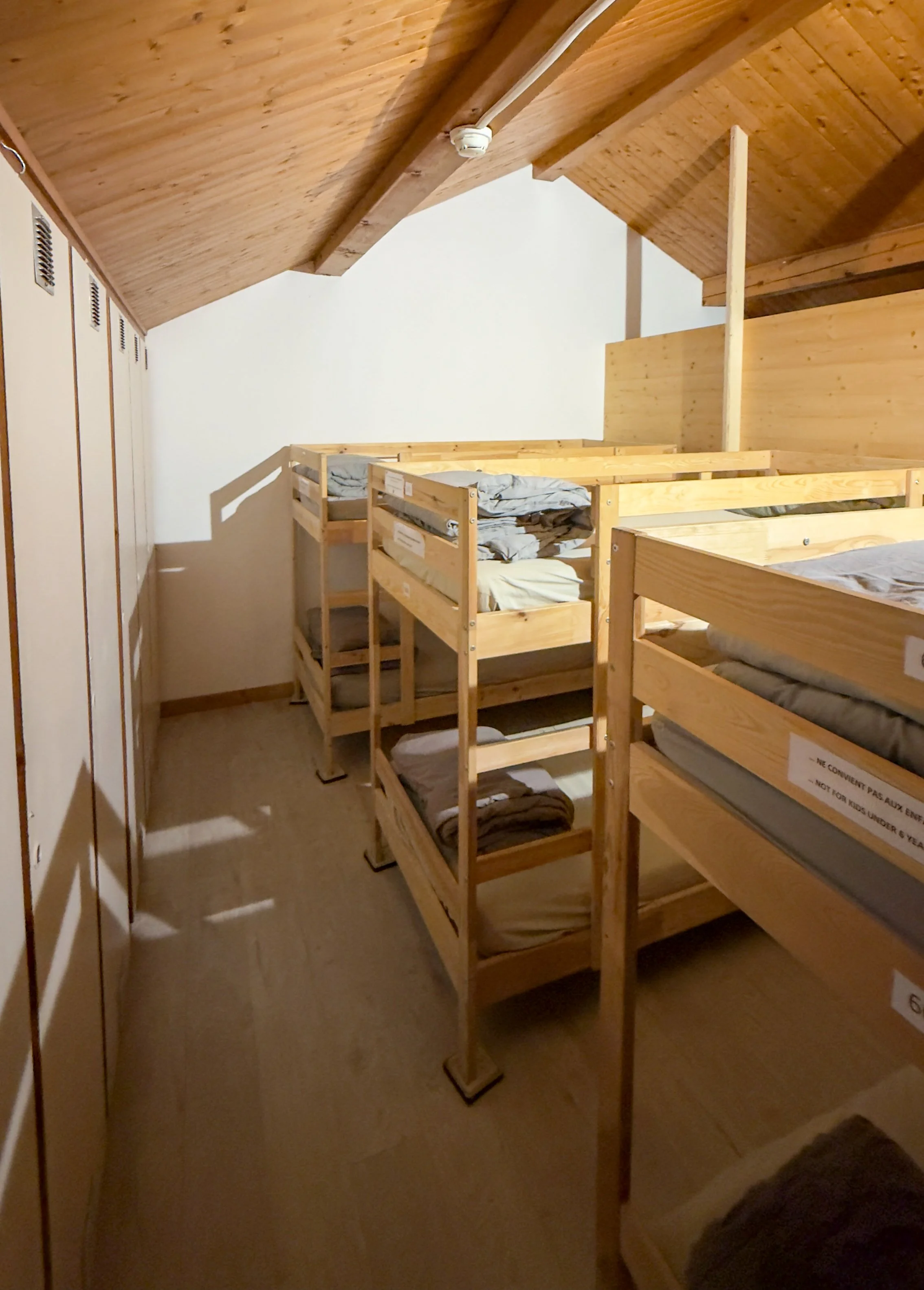
Night 1: Bunk beds in a campsite dormitory, with shared bathrooms.
Night 2: A private twin room overlooking a reservoir, with our own bathroom and an excellent three-course meal. Easily the best accommodation of the trip.
Night 3: Individual beds inside a large canvas tent, with electricity, bedside lights and shared campsite facilities. Dinner was not included, but there were restaurants on site.
Night 4: Bunk beds in a dormitory above a restaurant, with shared bathrooms, incredible mountain views and a generous included meal.
Night 5: Bunk beds in a large mountain hotel, with modern shared bathrooms and another filling evening meal.
Luggage Transport
You can opt to have a second bag, with a limit of 15kg, follow you around the Mont Blanc Trail for a cost of €145.
You pack and drop your bag off at the ranger’s van each morning before you depart, and it is left waiting for you at your accommodation when you arrive. You repeat this process each morning.
It means you only have to pack the essentials for each day, including food, water and waterproofs, so you can carry a much lighter pack.
It also means you have access to spare clothing, additional snacks and extra luxuries that you might otherwise have had to leave behind if carrying everything on your back.
This was one of the most useful extras we selected. Between us, we were carrying far more than either of us wanted to carry for 90km.
Luke had travelled from Hong Kong and was due to visit his family for another two weeks after the hike, so he had a lot more than he needed for the trail. I had also planned to spend another week in Chamonix hiking and camping afterwards, so I had additional camping kit and more technical hiking equipment that was not required for the TMB.
I also had my laptop, which I used to edit and back up all my footage from each day.
Adventure Meals
You can also select an adventure meal package.
This includes dehydrated meals from Real Turmat, along with a stove and gas to prepare them. Of all the adventure meals I have tried, Real Turmat are my favourite and are generally very tasty. We had a few more of them after the trip had finished.
They offer a wide range of meals, with the chicken curry and pulled pork being personal favourites, containing between 500 and 800 calories per pack.
The meal package is not essential, but it is a useful backup and gives you more control over when and where you eat.
There are huts and restaurants serving hot meals along much of the route, but they can be busy, expensive, or offer a limited choice.
Carrying our own meals meant we could stop wherever the view looked best, or get off the main route to find some solitude, rather than planning the entire day around a lunch queue.
We chose to balance the two, Having the adventure meal package whilst also eating in huts on Days 1, 2 and 3. Did someone say Second breakfast?
On Day 4, Luke and I climbed above a busy mountain hut and ate alone on a grassy plateau overlooking the surrounding peaks. It was easily one of the highlights of the trip.
Optional Final Night Near Chamonix
Travelbase also offers an optional hotel night near Chamonix after the official hike finishes.
The hotel was modern, comfortable and located just outside central Chamonix. We had our own bathroom, along with access to an on-site café and bar. It was also pretty affordable, which can be difficult to find in Chamonix.
Breakfast and dinner were not included, but there were plenty of options nearby.
It was a brilliant way to finish the organised trip and socialise with other members of the group one final time before everyone went their separate ways.
In my case, it was also the perfect base from which to head back up the Flégère lift and complete the rest of the TMB
-
The biggest advantage of booking through Travelbase is that almost everything is organised for you.
The route, accommodation, transfers and daily logistics are already in place, removing the considerable headache of trying to coordinate mountain huts across three different countries.
The trip was also extremely well run. The rangers were friendly, organised and knowledgeable, while the daily briefings covered the route, timings, water points, food stops and anything else we needed to know before setting off.
The itinerary itself felt carefully designed.
Each day was challenging enough to feel rewarding, but manageable enough that we never needed to rush. Luke is not an experienced hiker and had only completed one walk in the six weeks before the trip, yet he found the daily distances very manageable.
He finished each stage tired, but rewardingly tired rather than completely exhausted. He never woke up dreading the following day, and felt the route struck the perfect balance between challenge and enjoyment.
The transfers cut out several flatter sections through valleys, woodland and along roads, allowing us to spend more time on the high mountain passes and scenic parts of the TMB.
I decided to run each of the transfer sections during the trip ( as I wanted to do the full TMB route, and am training for a 100km ultra). Having done the full route, I can confidently say they cut the right sections. They were not unpleasant, but they were noticeably less scenic and varied than the five stages included in the Mont Blanc Trail.
Despite everything being organised, the hiking itself is completely self-guided.
You are free to move at your own pace, stop whenever you like and choose whether to hike alone, with friends or alongside other members of the trip. There is no guide setting the pace and no enormous group marching around the mountain together.
However, you still get a huge social element. There were 23 people on our trip, with a wide range of ages, abilities and hiking experience. There were also lots of solo female hikers, many of whom naturally teamed up and walked together during the week.
That made the trip feel particularly welcoming for anyone who wanted to travel alone without necessarily hiking alone every day.
We regularly crossed paths with other on the trail before coming back together in the evenings to eat, share stories and compare how the same route had somehow given everyone a completely different experience.
Others preferred to hike independently and socialise later, so there was never any pressure to follow a particular group or pace.
That balance is one of the best parts of travelling with Travelbase You get the freedom of a self-guided adventure, the convenience of an organised trip and a likeminded group of people to share the experience with
Day 0: Arrival and Briefing
The Mont Blanc Trail technically begins the following morning, but the experience starts the evening before.
after spending anight and two days exploring cahmonix, we caught the train to Saint-Gervais-les-Bains Le Fayet station, so we could be collcted by thier chuttle at 5:30pm. Here we joined several other members of the group before being driven to the first campsite juust outside of Les Contamines.
This was where we met the rest of the group, 20 hikers from across Europe with a wide range of ages, fitness levels and hiking experience, including half a dozen solo travellers.
After checking in, we collected our food and any rented equipment before sitting down for a detailed briefing (in english and french) from the rangers, who explained the route, daily transfers, accommodation and what to expect during the week. They also demonstred some of the hiking and camping equipment (poles, tents, stove) and talked through the route using a physical map.
As an experienced hiker, much of the mountain advice was familiar, but it would have been invaluable for anyone newer to multi-day hiking.
Luke also found it reassuring, joking that I might not be completely full of shit and might actually be a proper hiker rather than just an influencer, as most of the advice matched what I had already told him.
As we had selected the hut package, our first evening meal was included. It was a hearty three-course dinner, with large portions placed on each table for everyone to share, which made it a great opportunity to break the ice and start getting to know the group.
Although almost everyone was from mainland Europe, the whole group was incredibly friendly and welcoming, while everyone made the effort to speak English despite it not being their first language, which was both impressive and a reminder that those of us from Britain should probably make more effort to learn another one.
Those staying in the hut had access to a large gear room, which had individual lockers . sso after dinner Me and luke got ebverything prepared for the following morning before settling down for the eving.
The sleeping arrangements consisted large dormitary style sleeping area, costiing of bunkbeds divided by partial walls and curtains,. Its common of huts in europe and the beds were comofrtable enough. Make sure you pack an eye mask and ear plugs, as you will always have the issue of people going to bed and waking up
Day 1: Les Contamines to Les Chapieux
Distance: 18.7km
Ascent: 1,412m
Highest point: Col de la Croix du Bonhomme, 2,433m
Theres not much time for easing into the Mont Blanc Trail, as the trip begins with arguably the toughest day of the week.
A brief spell of rain arrived during breakfast and caused a few worried glances, but thankfully it turned out to be the only rain of the entire trip. By the time I had polished off my third bowl of Coco-pops, the clouds had cleared enough to leave cool, overcast conditions, which were a welcome relief for the first day of hiking.
From the campsite, the route initially follows the valley before beginning the steady 13km ascent towards the Col de la Croix du Bonhomme, which at 2,433m is the highest point of the day.
Hindered by trees, the views were pretty limited at first, occasionally getting a glance of a mist covered peak above the trees. That all changed after 4km, as we emerged into a beautiful alpine valley enveloped by the huge mountains for which the Tour Du Mont Blanc is synonymous for.
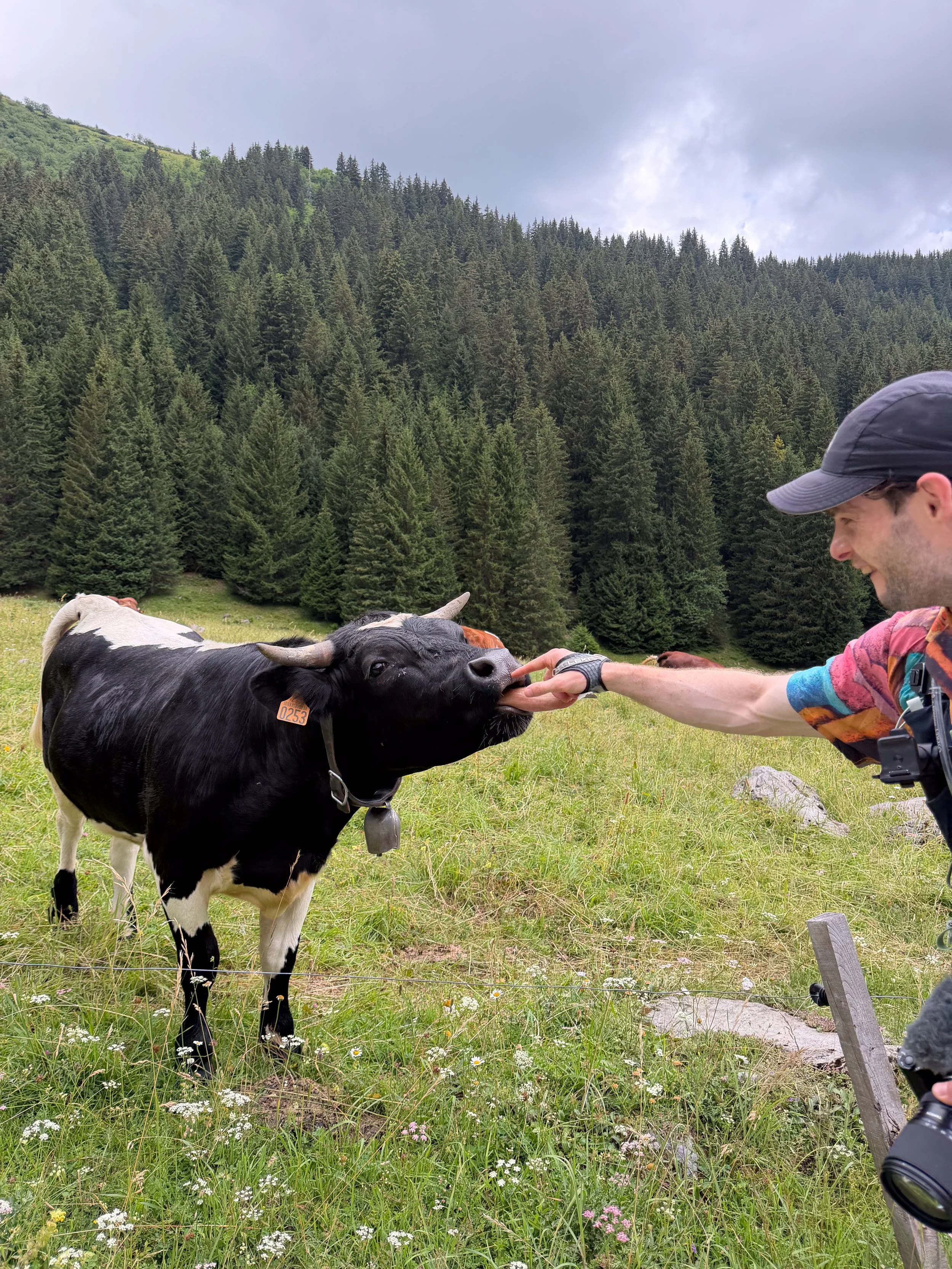
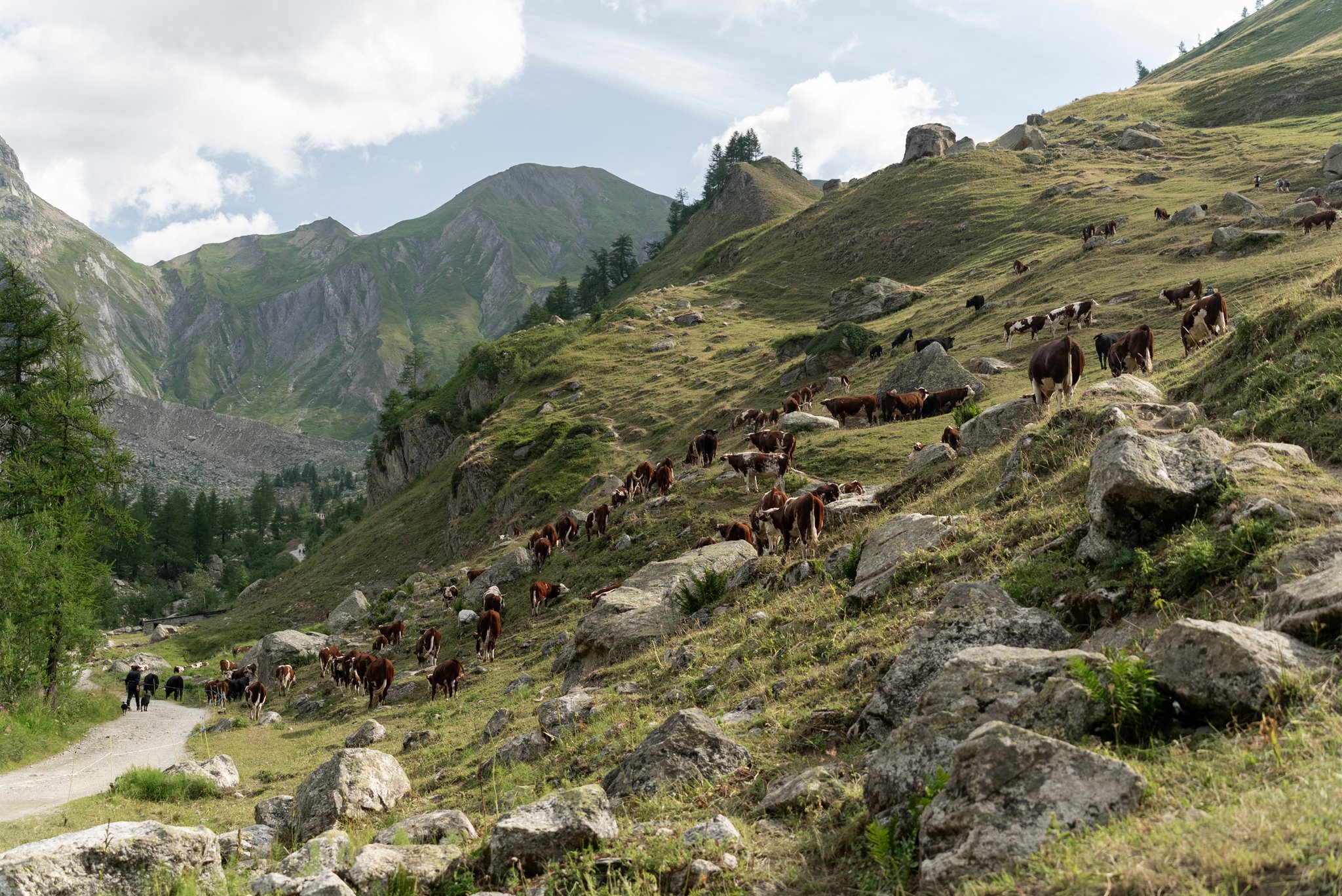
The scenery was made even more enjoyable by the herd of incredibly friendly cows grazing beside the path, one of which gave my hand a good licking.
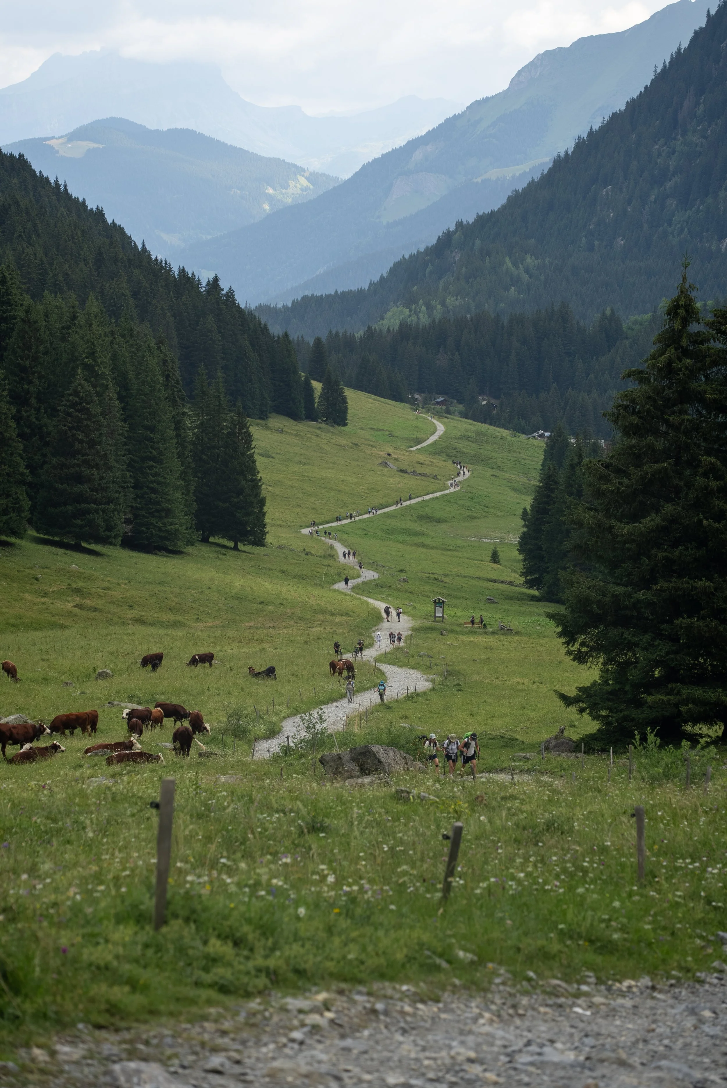
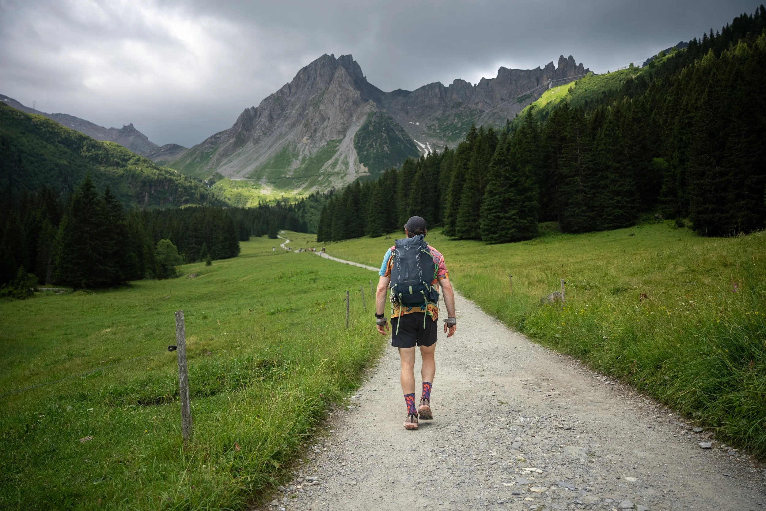
The trail continued to climb for another 6.5km, occasionally ramping up in gradient but never becoming overly strenuous nor technical.
The first major landmark was the Col du Bonhomme (2,329m). The mornings cloud had began to clear and after cresting the the col, we were provided our first proper panorama of the enormous mountain massifs of the Alps.
We grab a few photos but didn’t stick around long as we still had a bit more climbing to go.
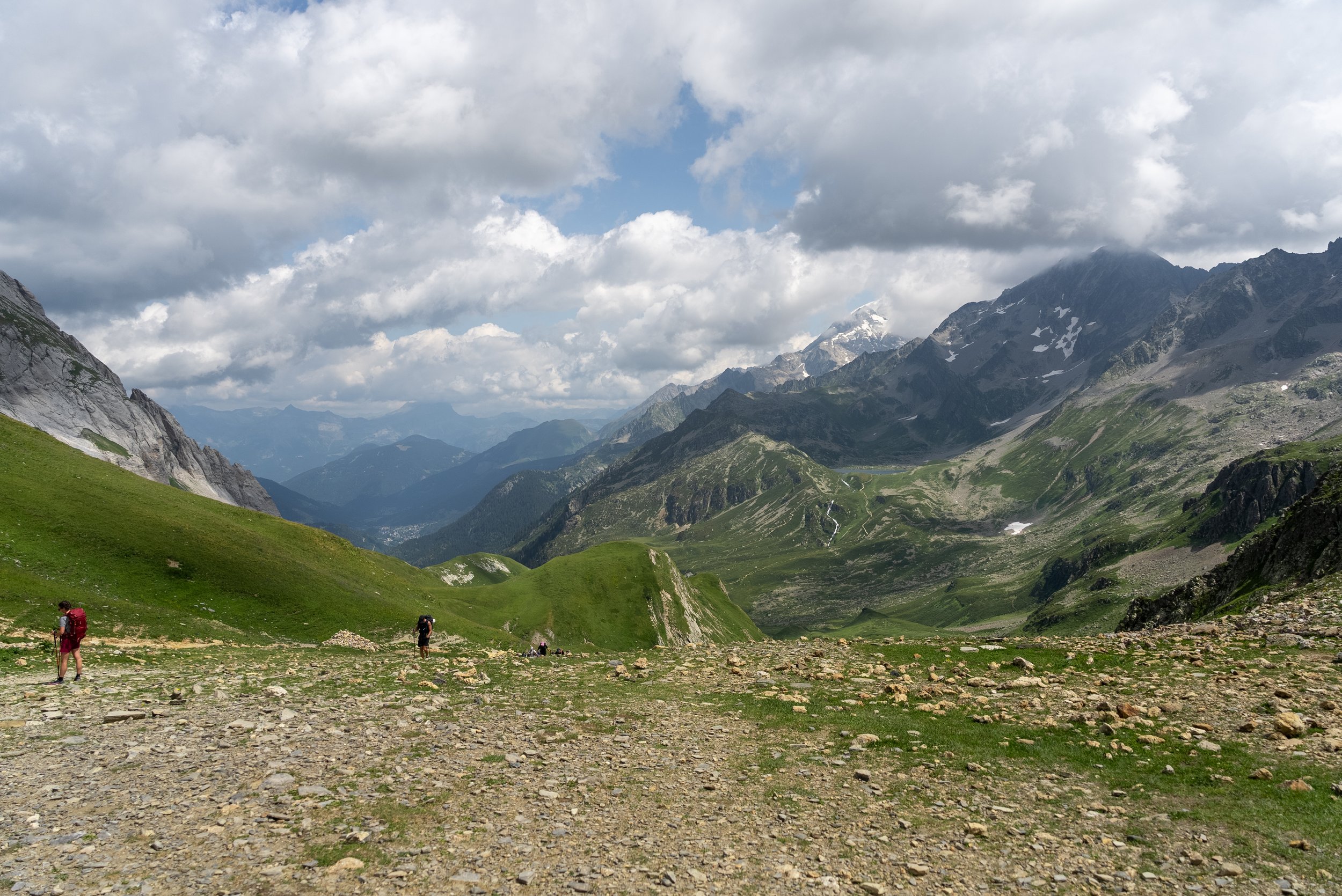
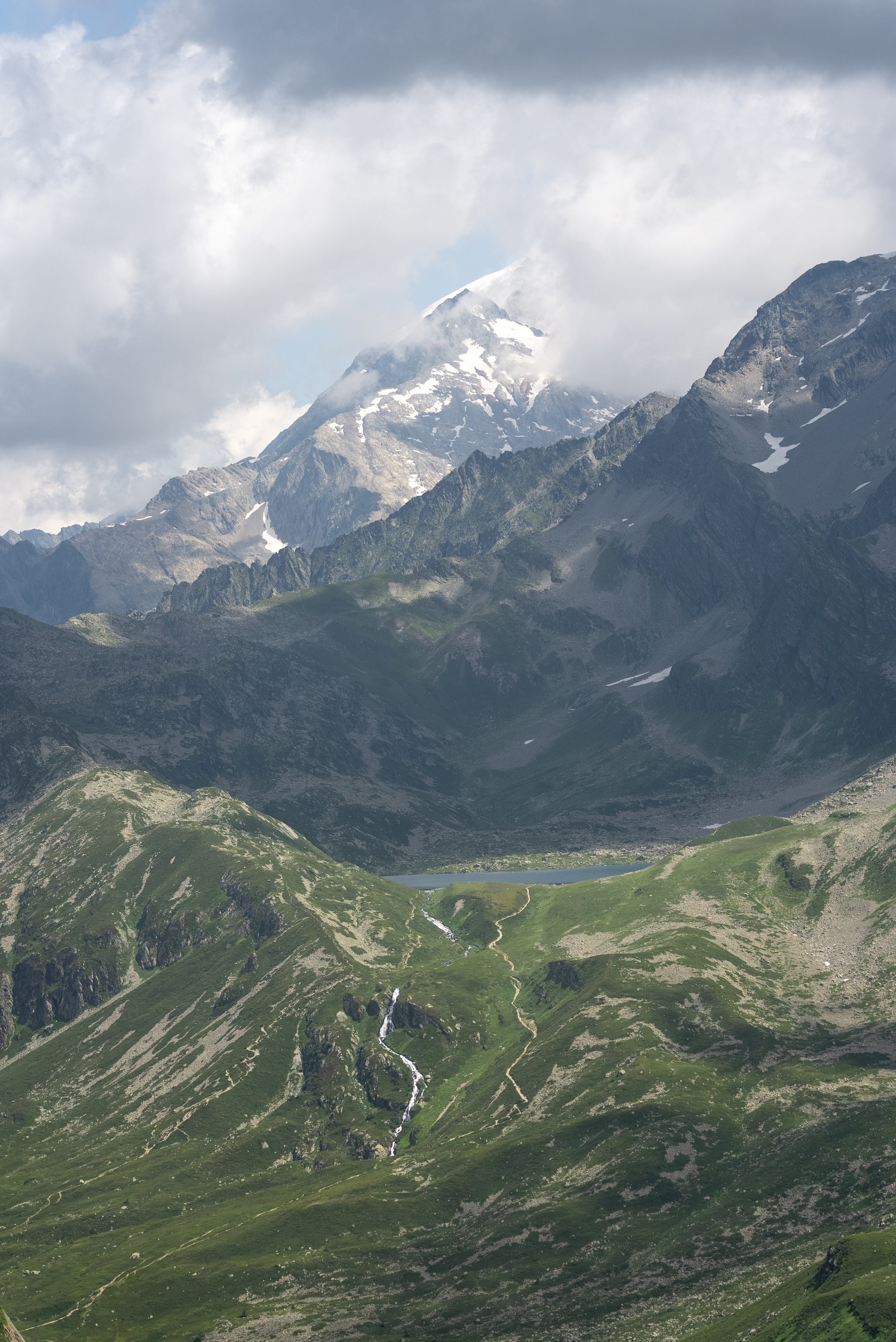
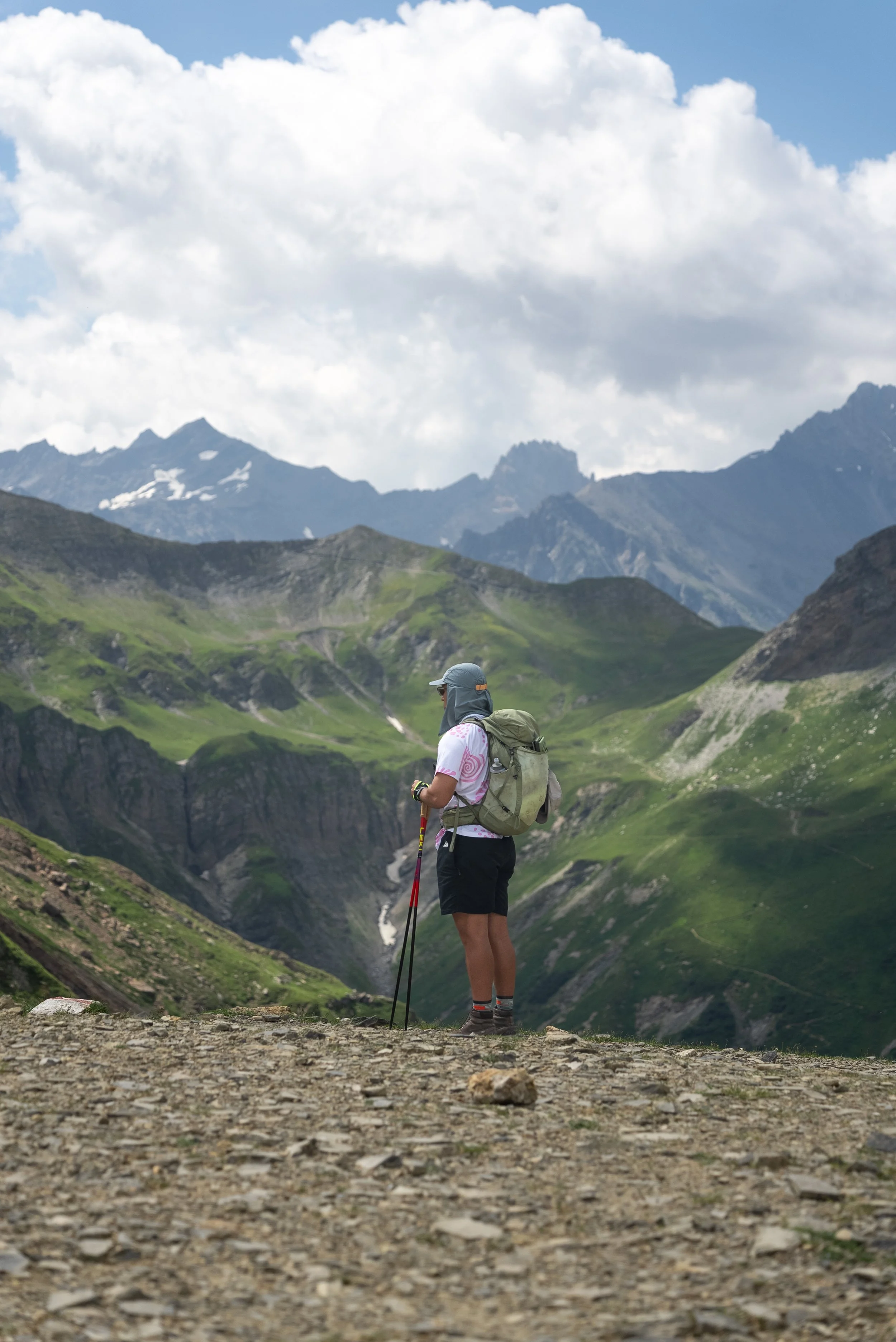
From there, the trail continued cso skirt around the nmountainside as it gradually climbed towards the Col de la Croix du Bonhomme, the highest point of the day at 2,433m.
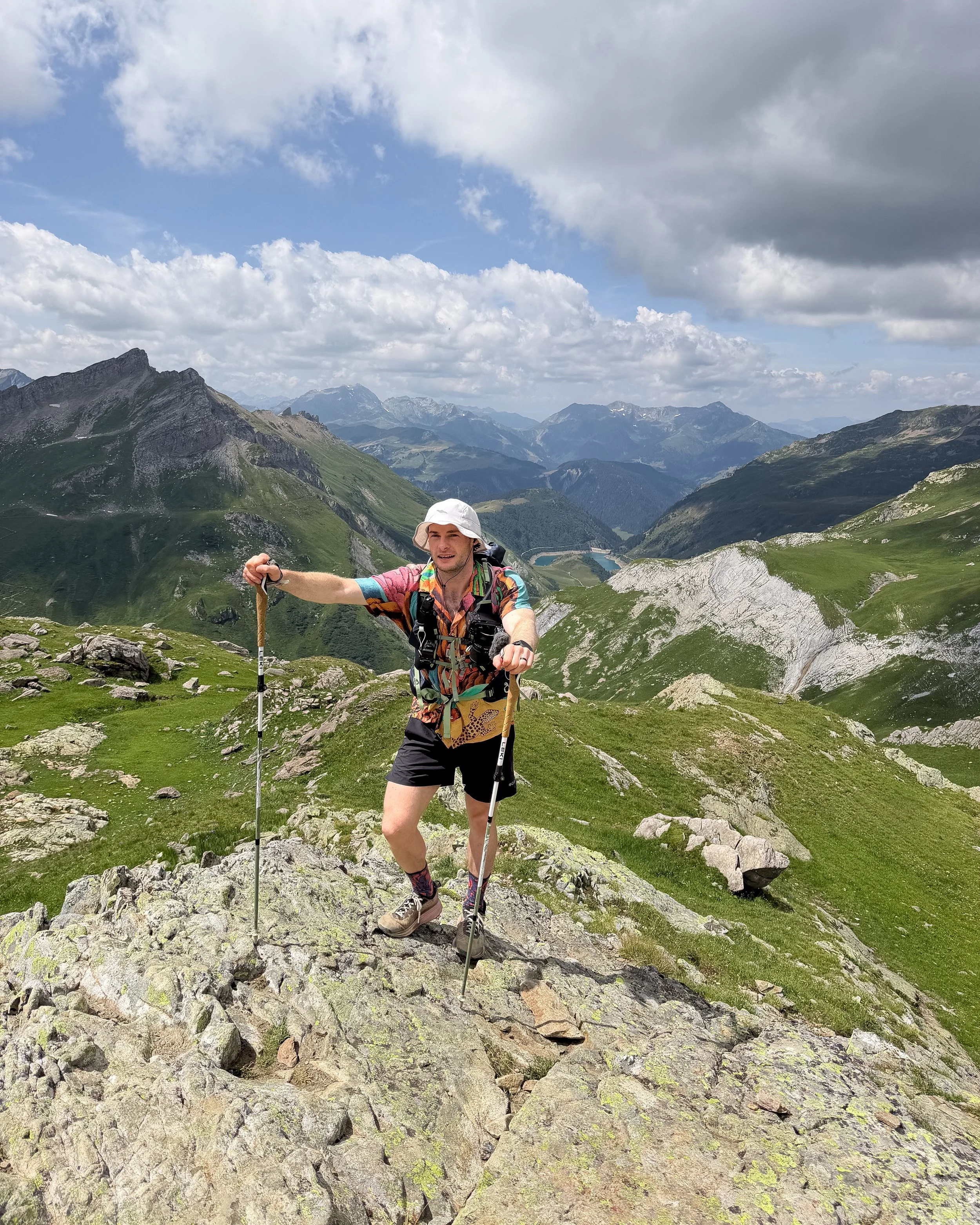
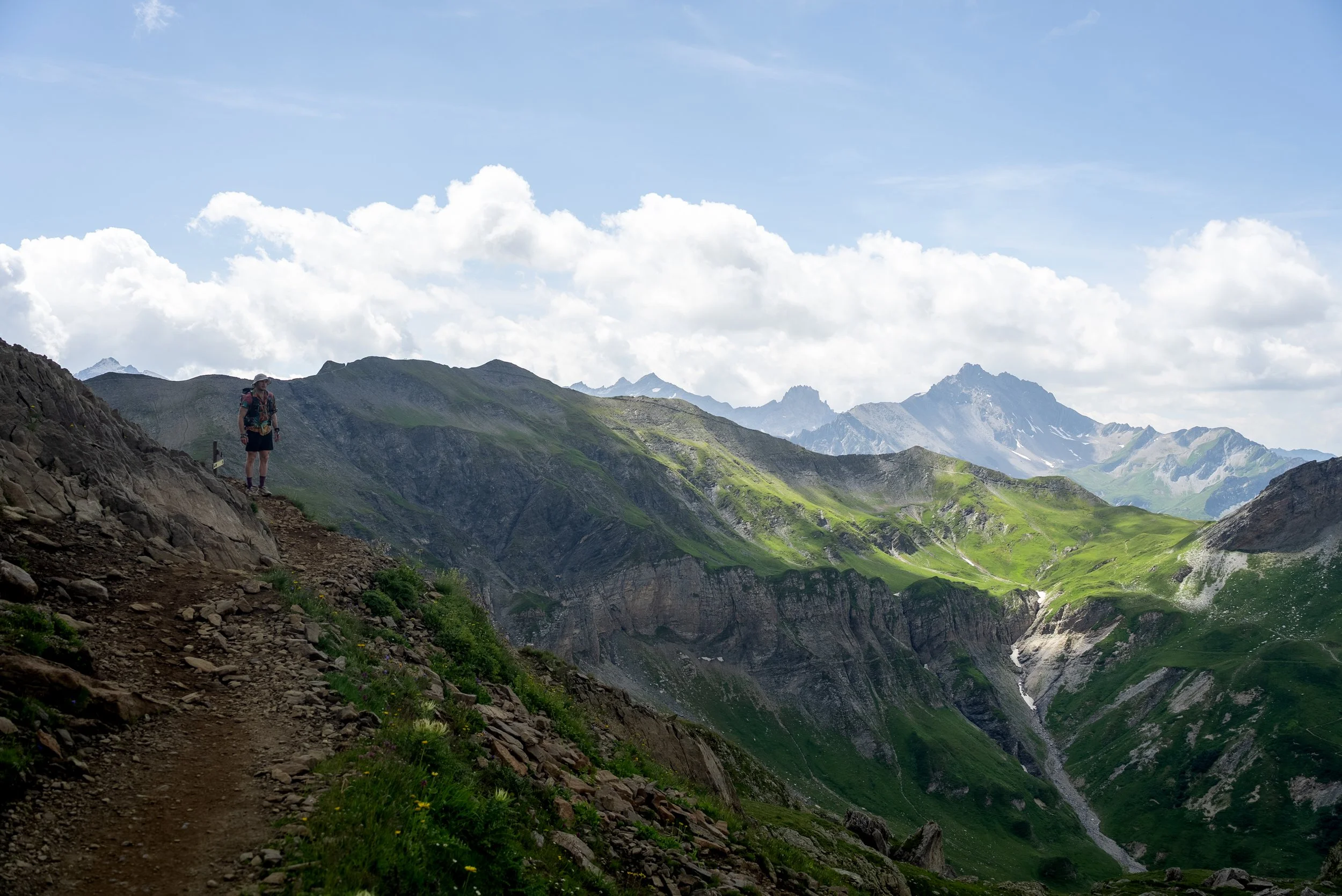
At 2,433m it marked the highest point of the day and once again the views were incredible.
The low cloud had almost cleared and rugged peaks and mountain ridges stretched away in every direction. It was a proper introduction to the scale of the Alps and a humble reminder that we had plenty of hiking to come.
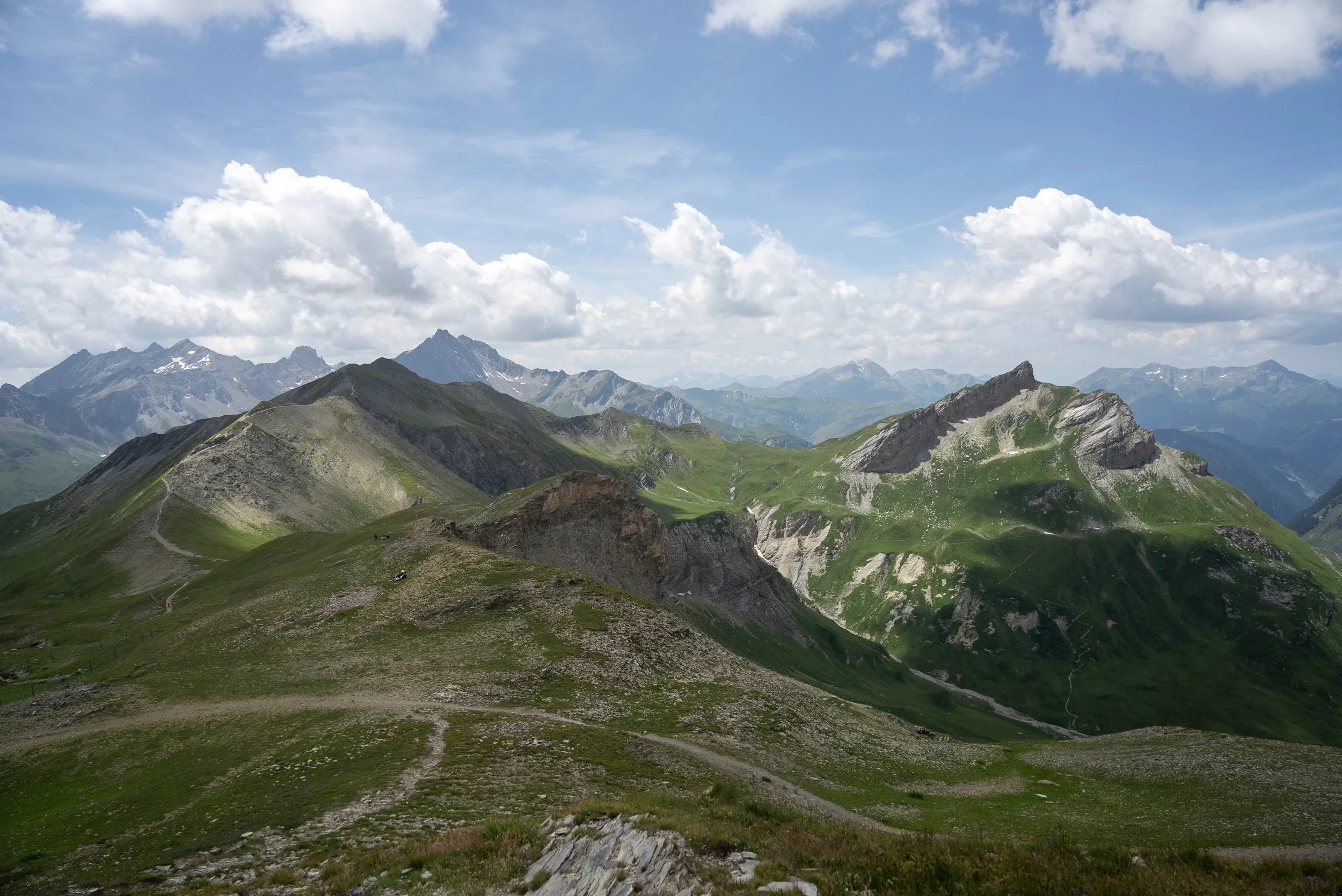
We stopped for lunch at the Refuge de la Croix du Bonhomme which was conveniently located a few hundred metres below the col. While the refuge itself is in a brilliant location, the food was extremely average and probably one of the worst mountain hut meals I have ever had.
We waited around 45 minutes for what was essentially a bowl of spaghetti with tomato sauce, which had clearly been cooked much earlier in the day. The only positive was the portion size. We swallowed the remainder of the pasta alongside our disappointment before beginning the descent towards Les Chapieux.
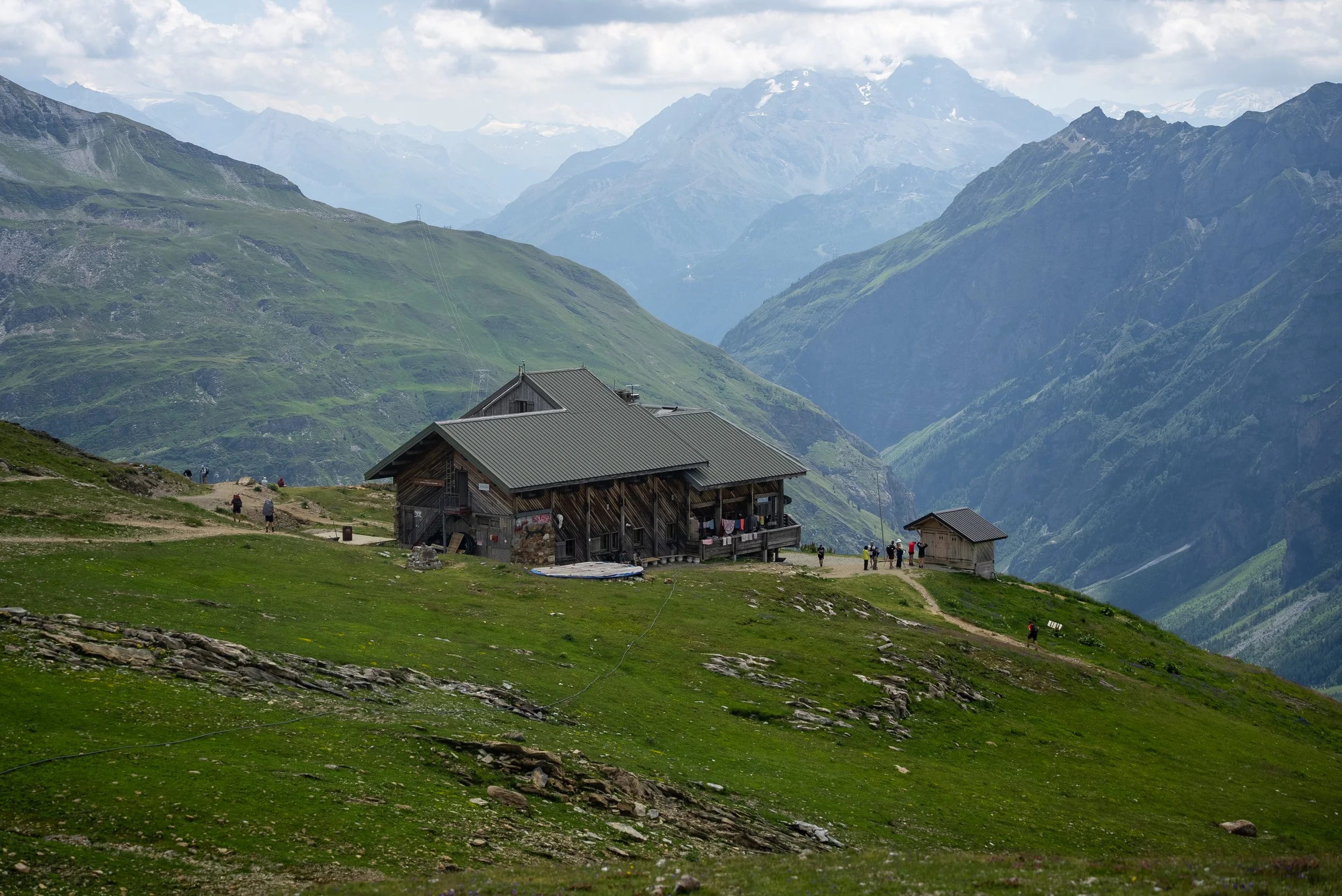
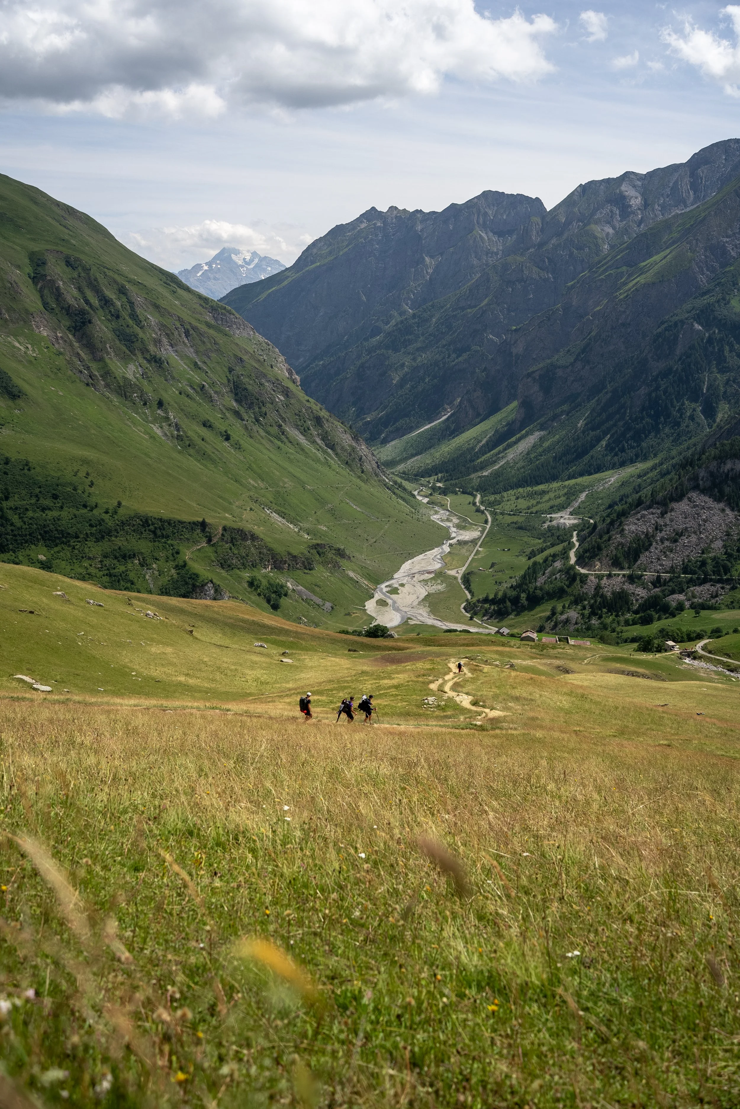
The descent starts relatively gradually, allowing you to enjoy the views without having to concentrate on every single footstep. However it does becomes much steeper towards the bottom, giving lukes legs a fairly brutal introduction to the amount of descending involved on the TMB.
Seven hours after setting off, we finally reached Les Chapieux, a small village enveloped by mountains.
There is a small shop, a few restaurants, and the campsite, which is were much of the group were staying. The shop accepts cards, although there was a €10 minimum spend. Devastatingly they had run out of Soleros but the Magnum was a right touch.
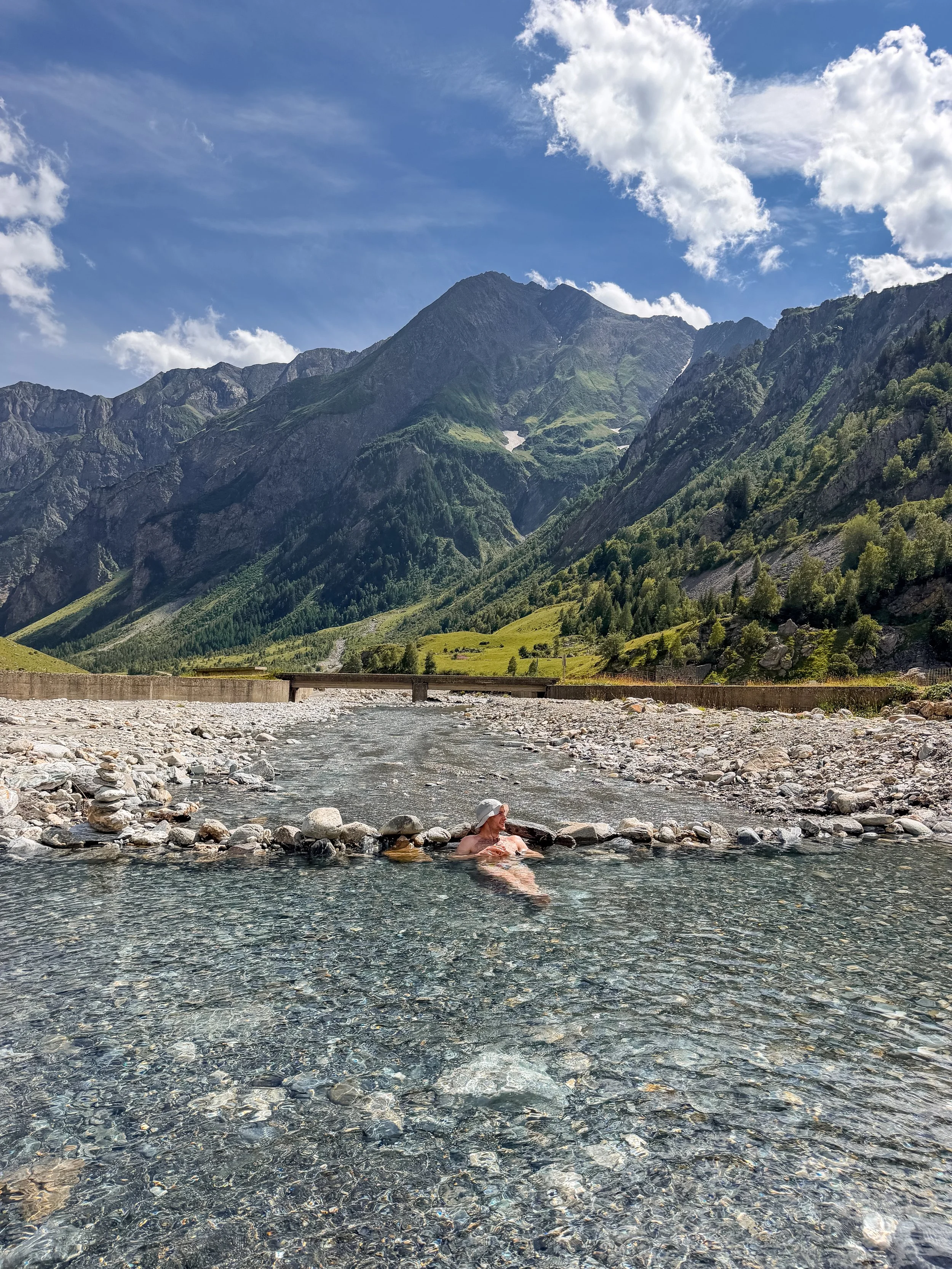
Next to the campsite was a wide and slow flowing river, which someone had dammed to create a natural pool.
As well as being incredibly scenic, the water was also a delightful temperature. Luke and I probably spent a good half an hour bathing beneath the heat of the afternoon sun while catching up with some of the other members of the group.
The rangers, who were ready and waiting at the campsite for people arrival, gave briefing at the campsite, where the rangers checked in, recapped tomorrows route route, and explained the timings for Day 2.
Those camping then stayed in Les Chapieux, while those of us using the hut package were driven around half an hour to our accommodation.
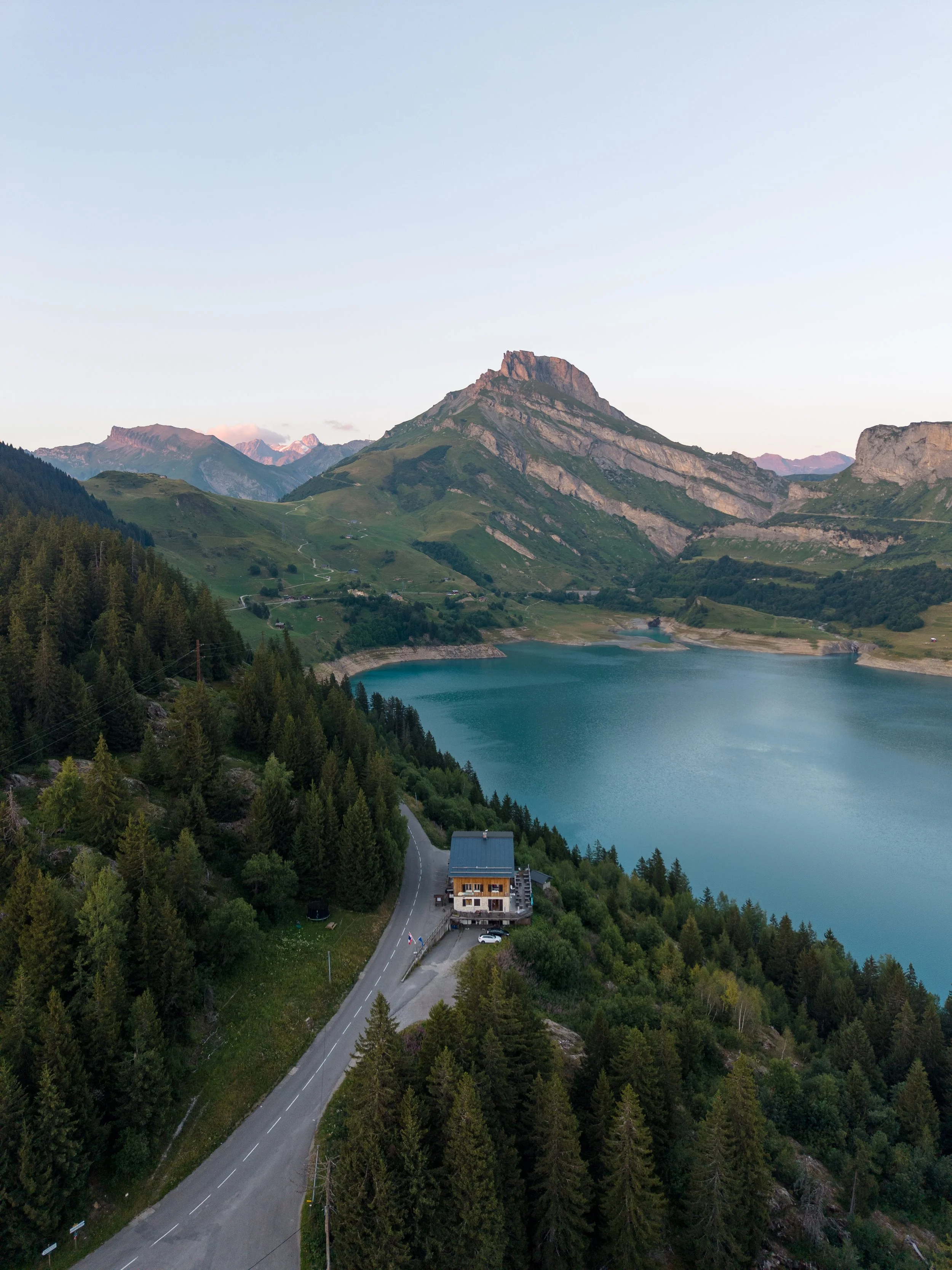
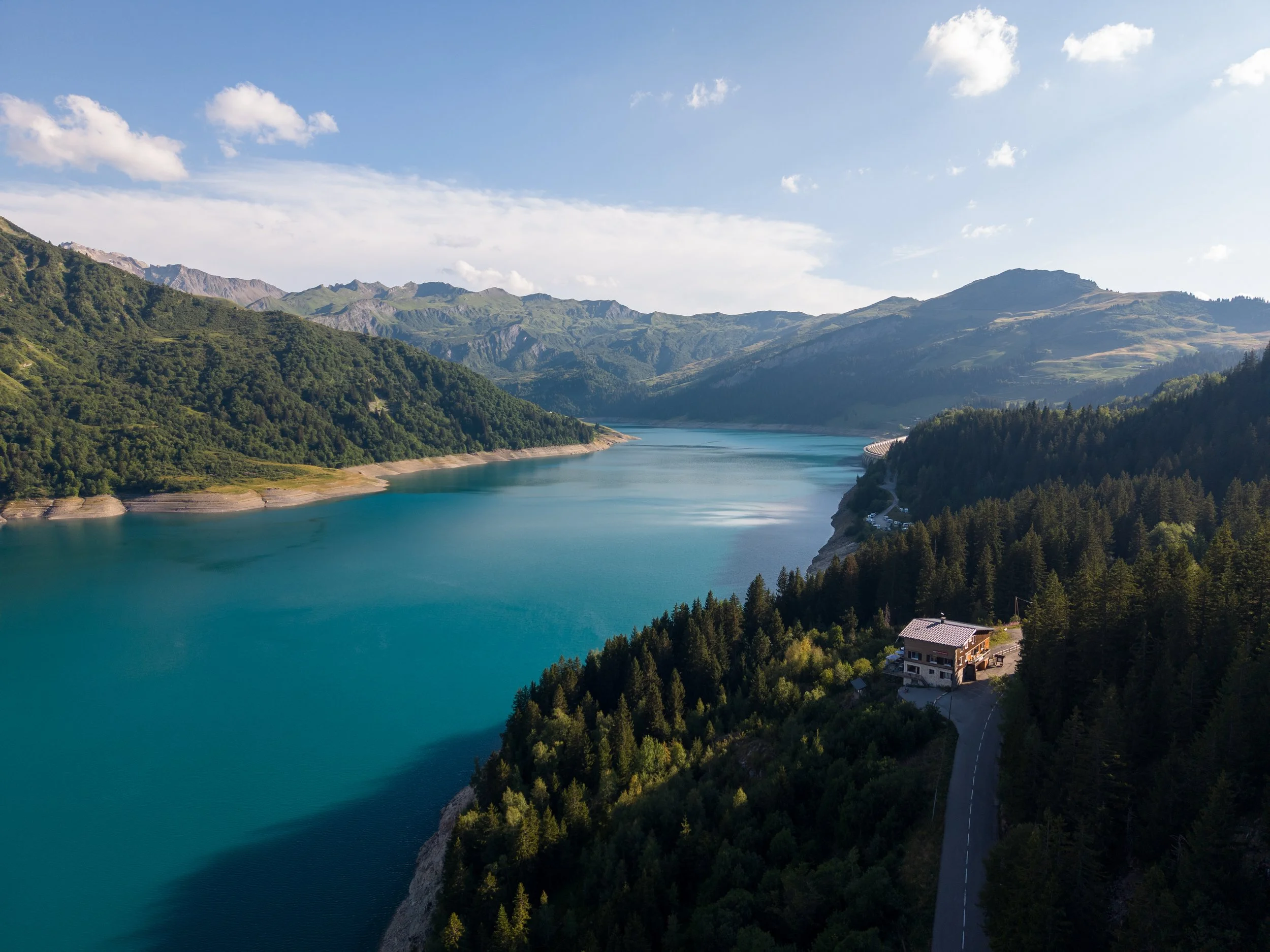
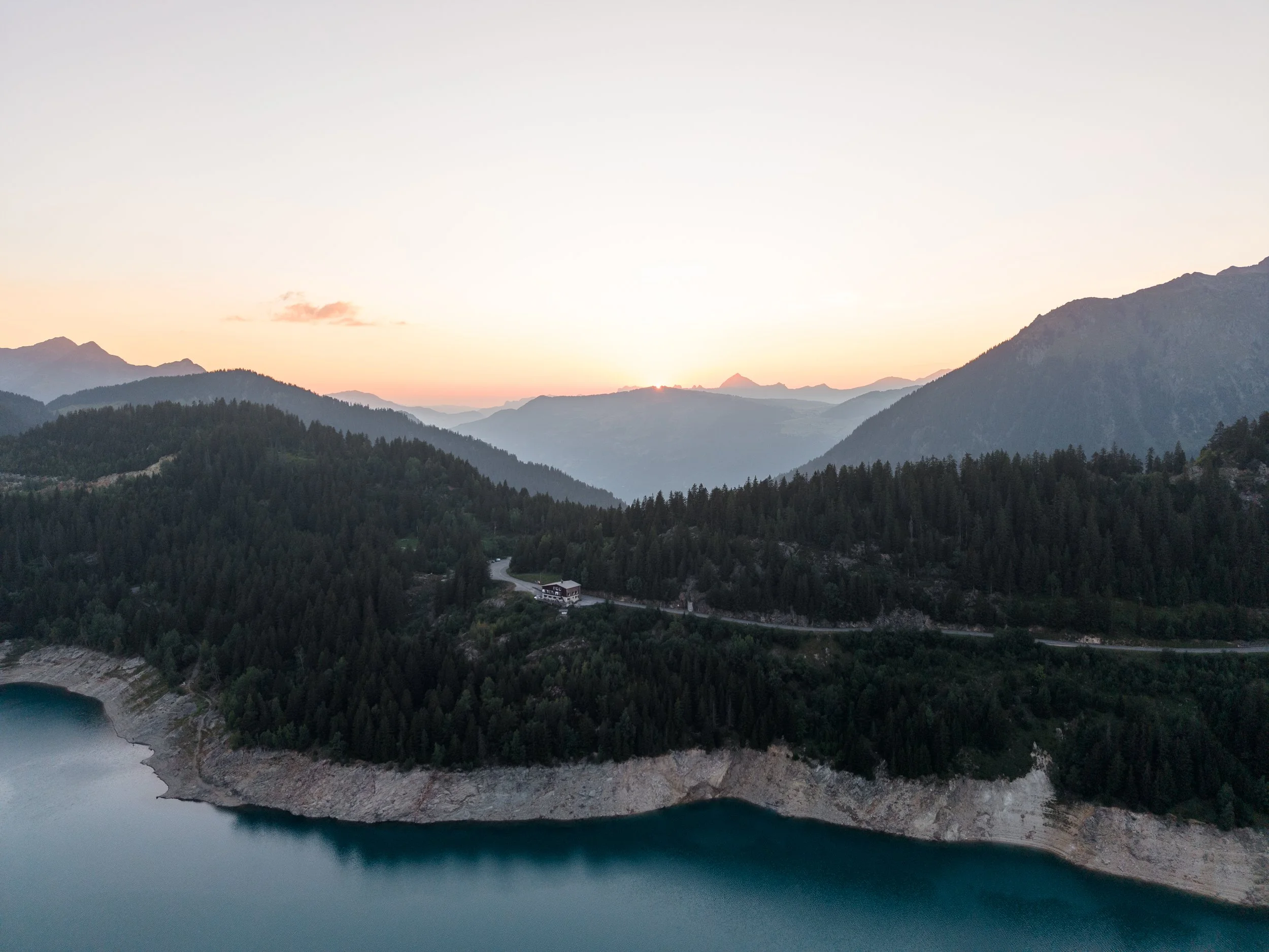
Situated on the shores of Lac de Roselend, it was easily the best and most scenic accommodation of the trip.
Luke and I had our own room, which came with an incredible view across the lake. The included evening meal was equally impressive. We were served an excellent three-course dinner, including a meat and cheese board, a choice of traditional French dishes, and ice cream for dessert.
There was plenty of food, and I had been correctly identified as someone who would happily finish other people’s meals. They kept offering me anything they had not eaten, which although was music to my ears, was becoming a worry for waistline.
Absolutely full of cheese, we watched an incredible sunset from the hotel before heading to bed.
Day 1 had been tough, but never overwhelming. The scenery was incredible throughout, and finishing with a comfortable room, an excellent meal and a view across the reservoir was an absolute treat.
Day 2: La Ville des Glaciers to Val Veny
Distance: 21km
Ascent: 1,005m
Highest point: Col de la Seigne, 2,515m
After an excellent nights sleep and another impressive breakfast buffet, we were picked up at 8am and driven 30 minutes past Les Chapieux (yesterdays end point) to La Ville des Glaciers, where the day 2 route began.
Those camping were also given a shuttle to the start point.
However as part of my slightly unnecessary attempt to cover the full TMB, I asked to be dropped off at Les Chapieux and ran the 4.6km road section to the start, covering around 250m of ascent in half an hour.
Luke was pleasantly surprised by how quickly I had run it, with some members of the group still not having set off by the time I arrived.
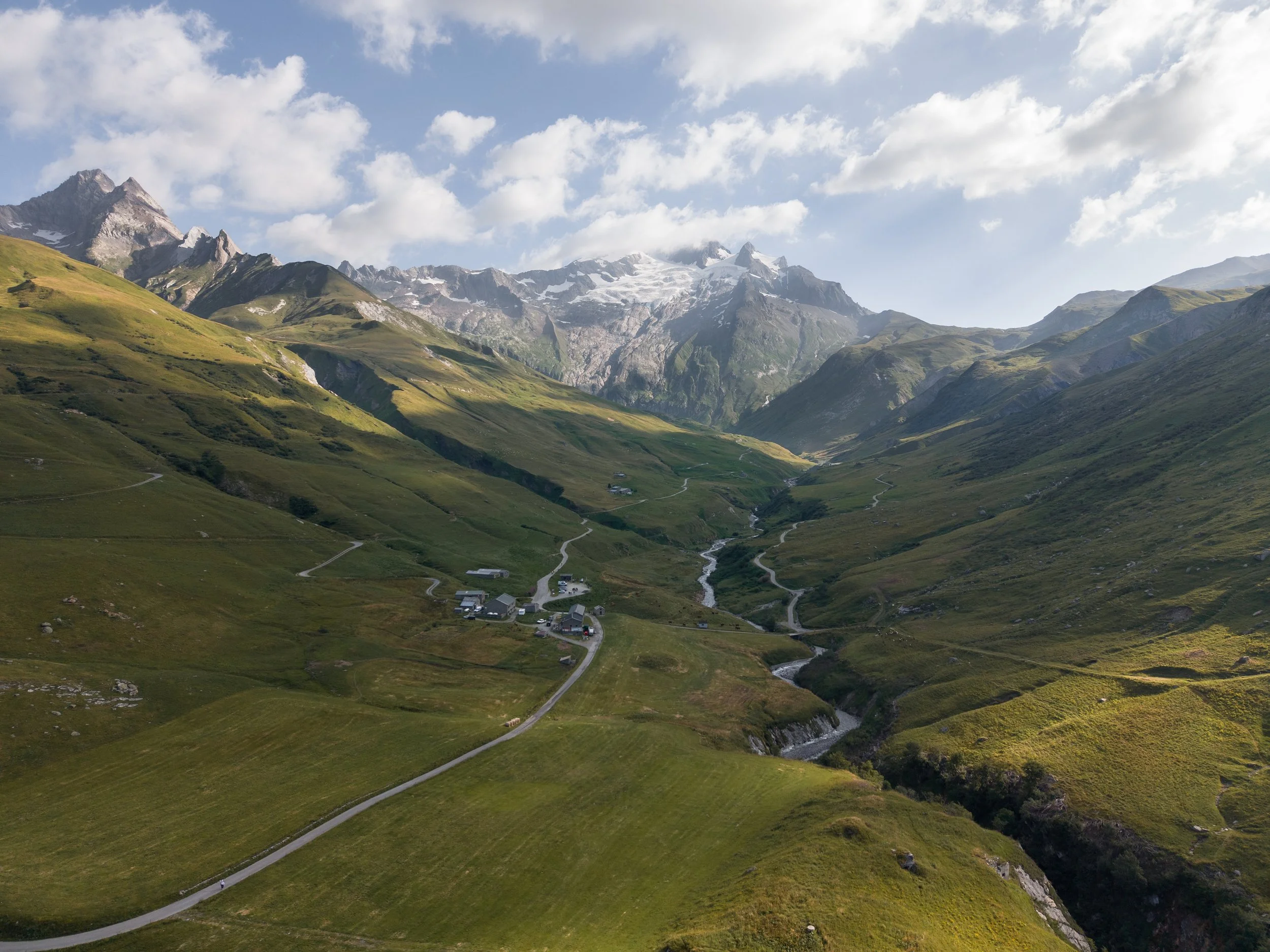
I can confidently say you do not miss much by taking the shuttle. The route follows the same road, and the best view is from La Ville des Glaciers,
After meeting Luke and picking up my daypack, we began the long climb towards the Col de la Seigne.
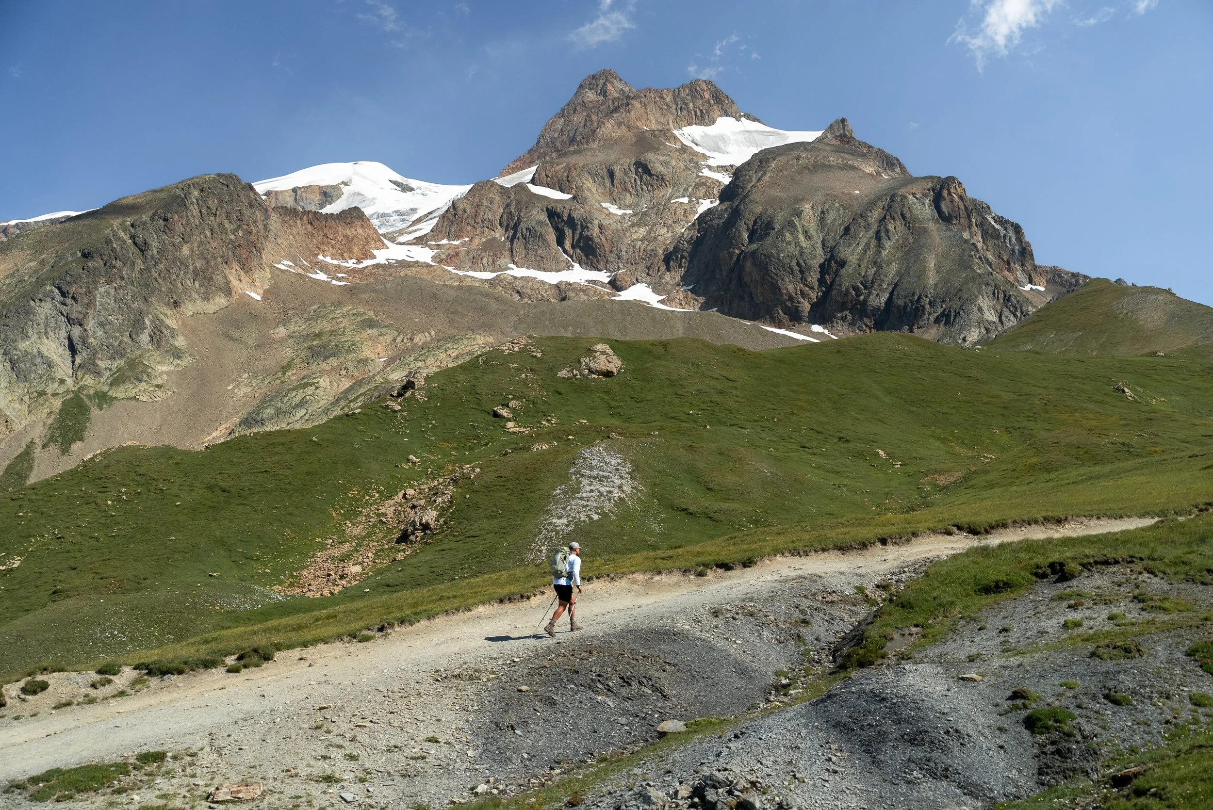
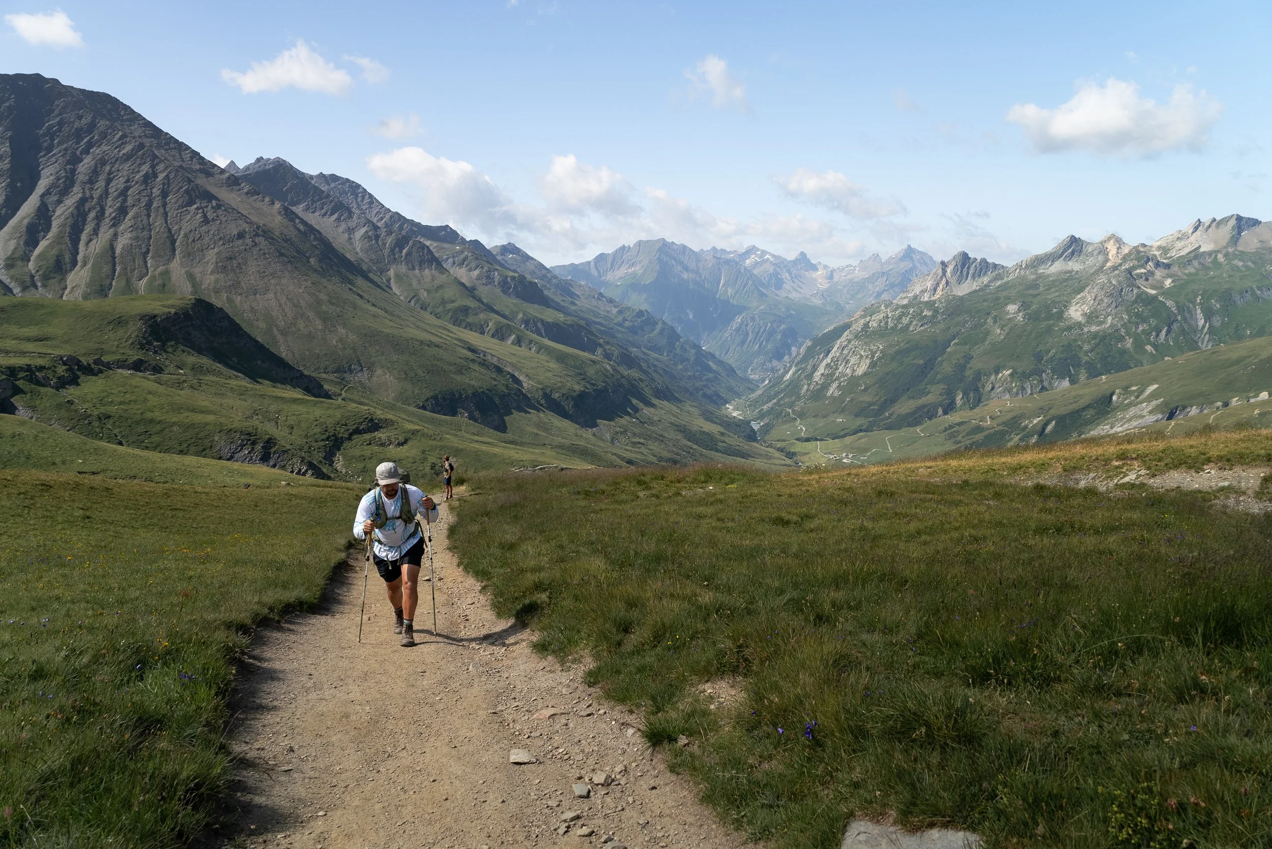
The route initially follows a wide valley surrounded by rugged mountains, glaciers and towering rock faces, before gradually becoming steeper as you approach the border.
It was one of the most scenic climbs of the entire trip, with glaciers and sensational mountain scenery scattered all around us. Although the ascent was long and steep in places, it was never especially difficult or technical.
We even passed several people pushing mountain bikes towards the col, which made carrying a daypack feel considerably more enjoyable and sensible.
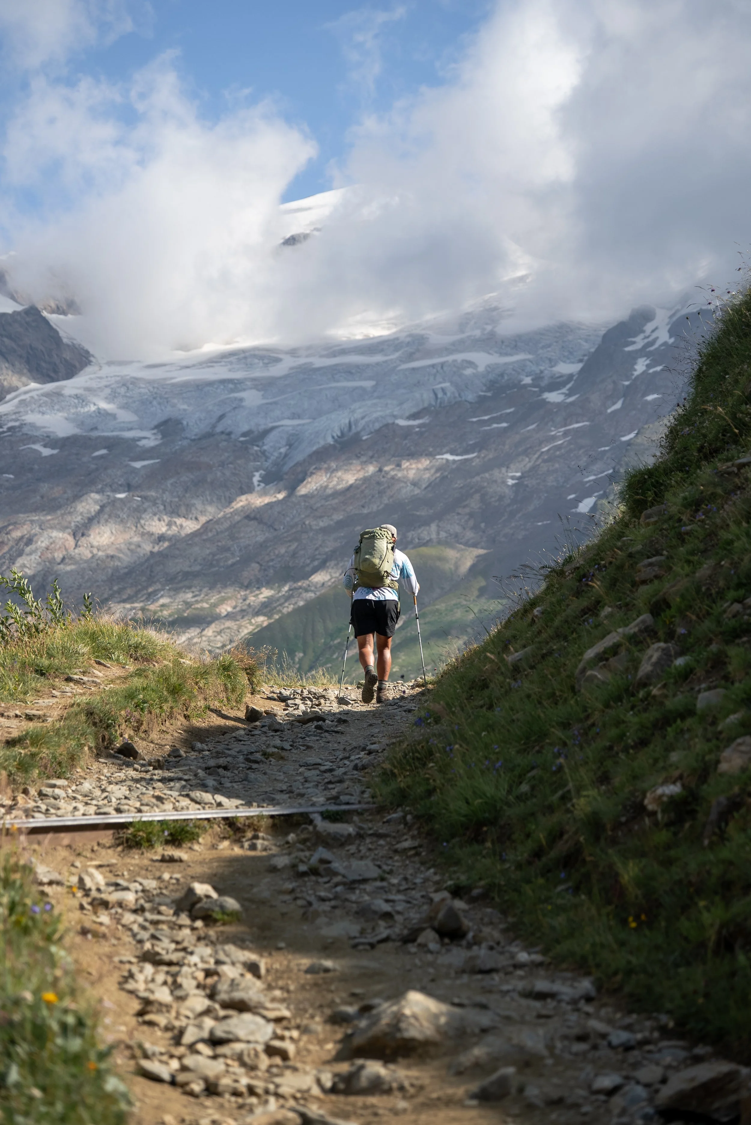
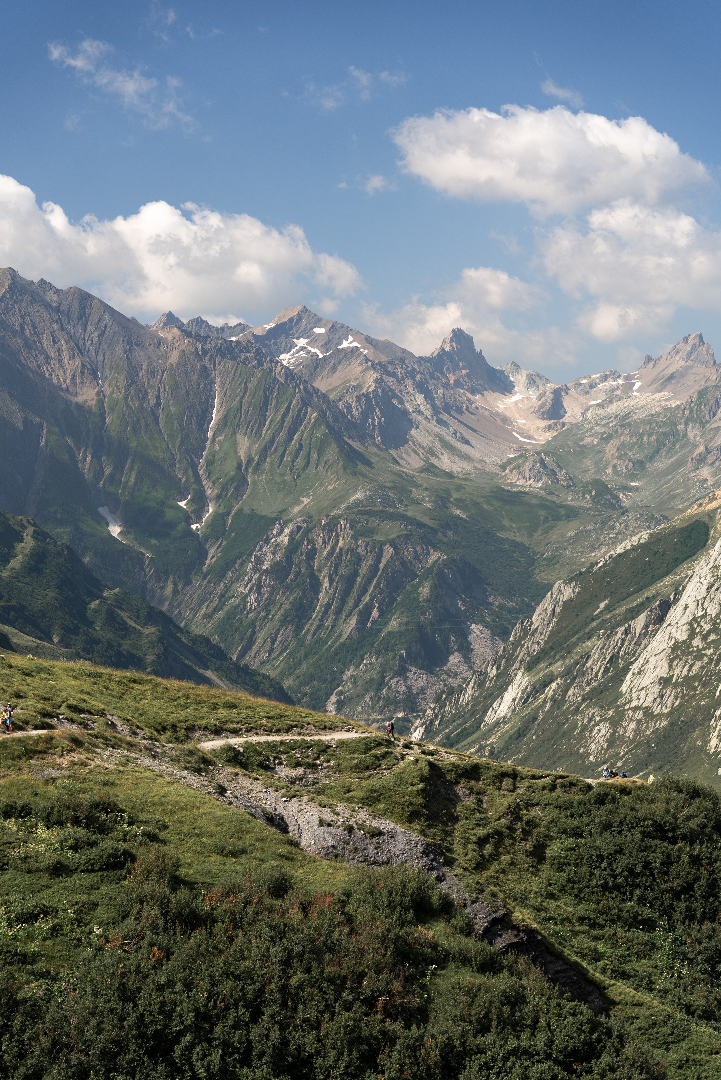
Sitting at 2,515m, the Col de la Seigne marks the border between France and Italy and offers some of the best views on the entire route.
There is also something incredibly satisfying about crossing into another country on foot, particularly when the border is a mountain pass rather than an airport security queue. Although I will say security was very lax and nobody was checking passports.
The view into Italy was one of the highlights of the trip.
Alongside the towering, jagged, glacier-covered peaks of the Mont Blanc massif, we had our first glimpse down Val Veny and into Italy. There were more mountain layers than your nan’s Viennetta, with the trail winding into the distance below us.
The col was very busy and extremely windy, so we hiked a little higher for some peace and quiet and to soak in the views. We also spotted a few marmots, which Luke incorrectly throught was a cabybara.
Realising we still had around three quarters of the route left, we began the descent towards Rifugio Elisabetta.
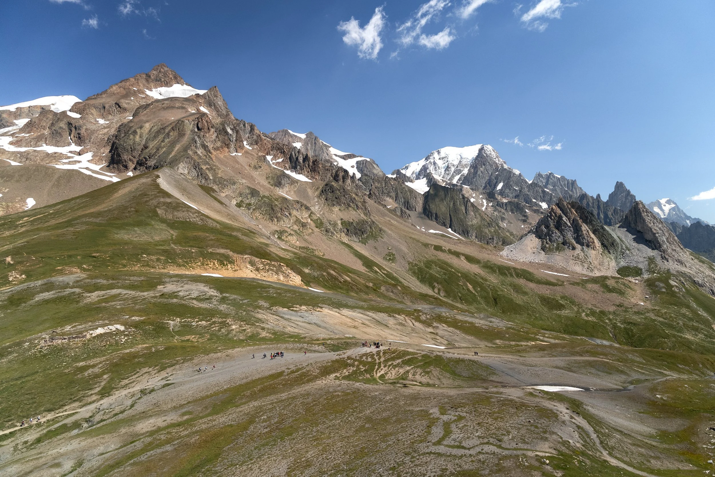
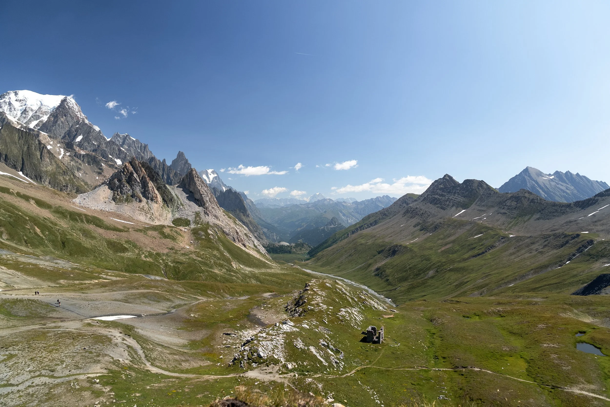
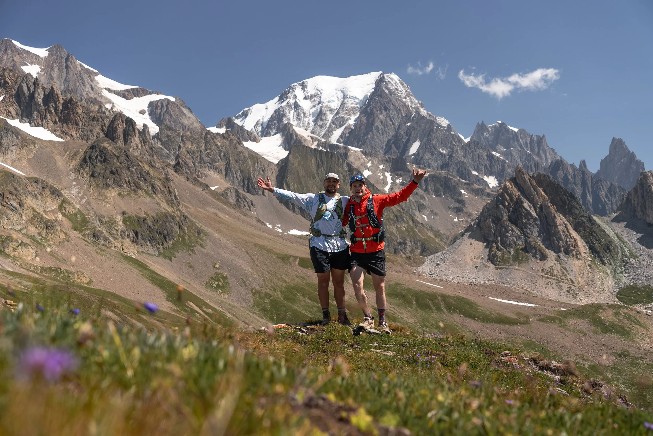
The gradual descent was an absolute delight, and we spent most of it gawping at the towering peaks on either side of the path, which enveloped the valley.
Not discouraged by the hut meal on Day 1, and seeking some quality Italian coffee, we decided to stop at another mountain refuge. We were very glad we did.
Rifugio Elisabetta sits in a spectacular position beneath the glaciers and is one of the best lunch stops on the route.
We sat with a few other members of the trip who were also staying in the huts and had a delicious pasta Bolognese, which I smothered in Parmesan, alongside a very good coffee. The hut accepts cards and, although it can appear busy, the service was very quick.
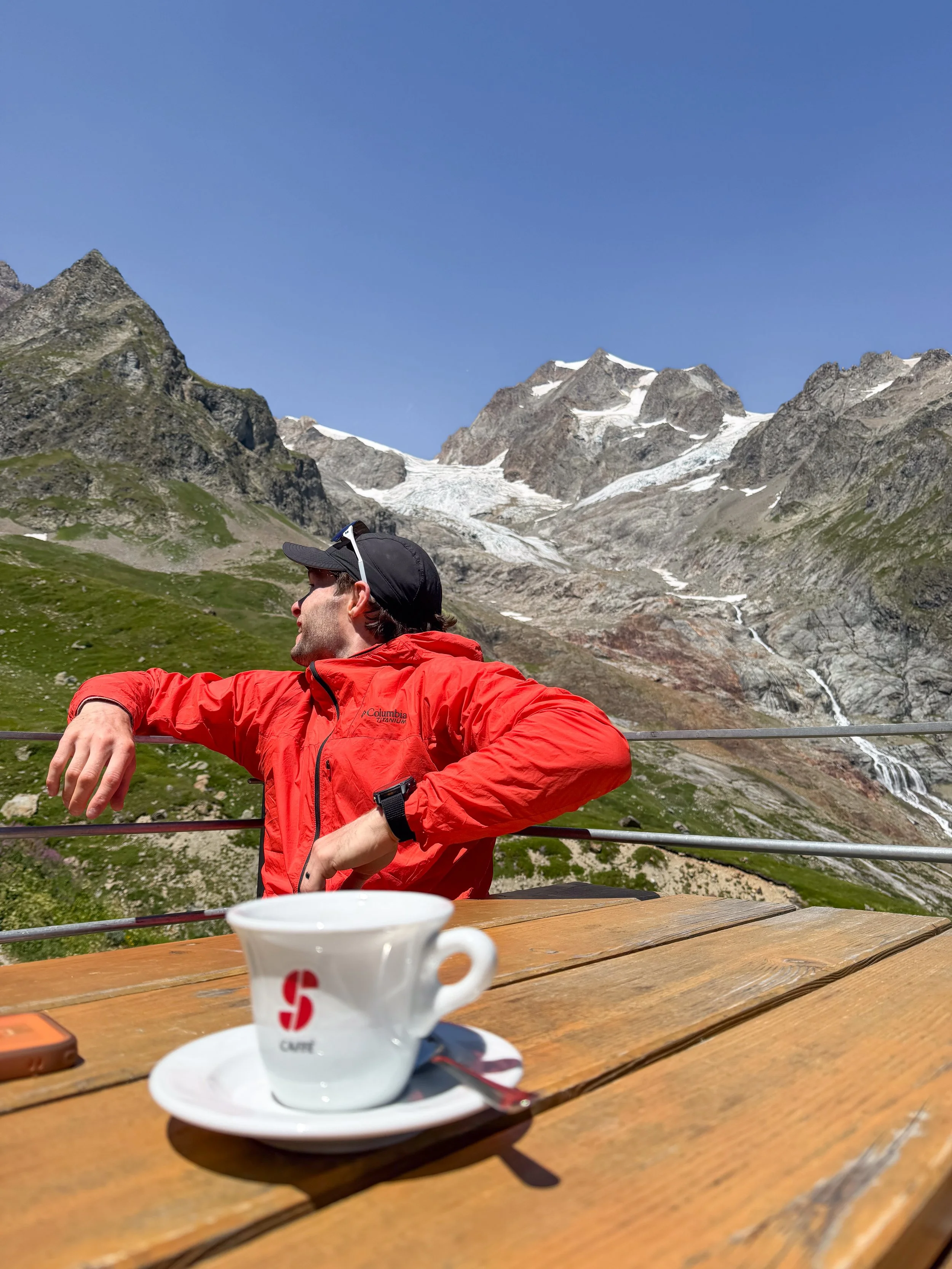
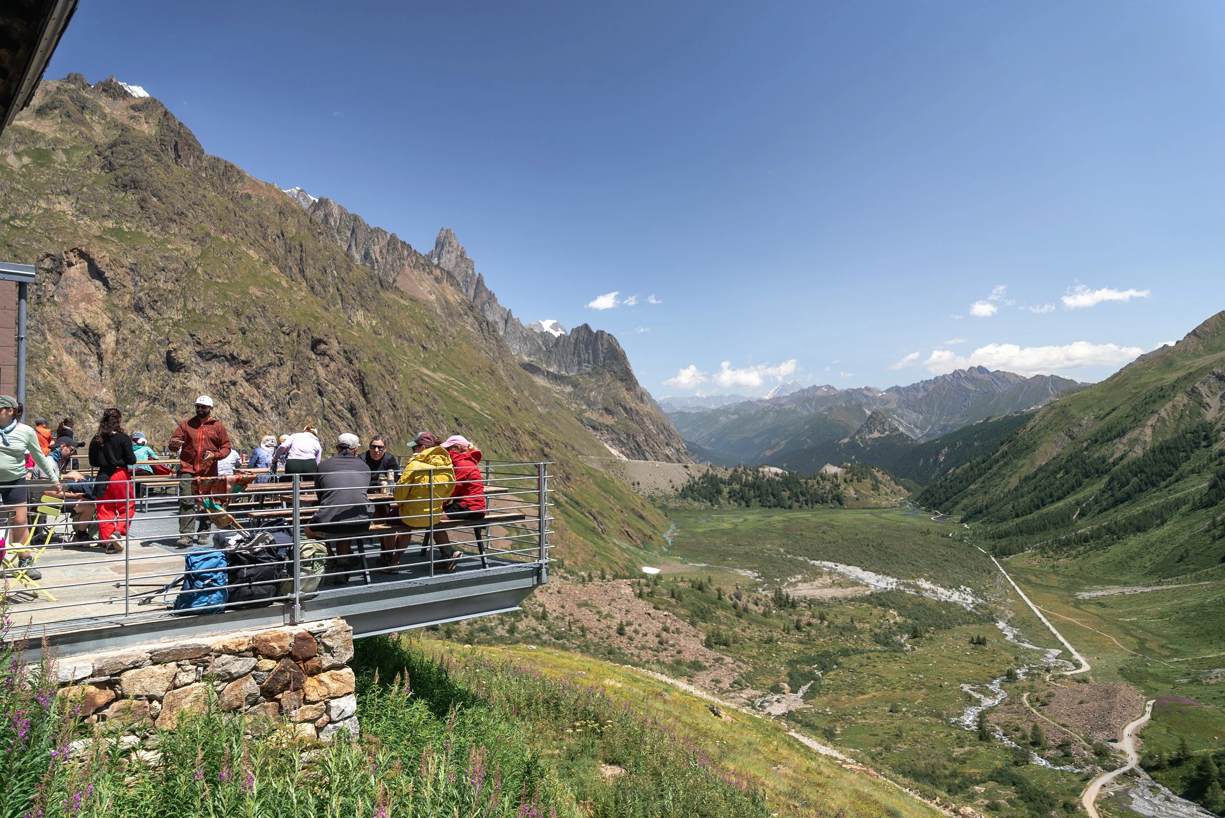
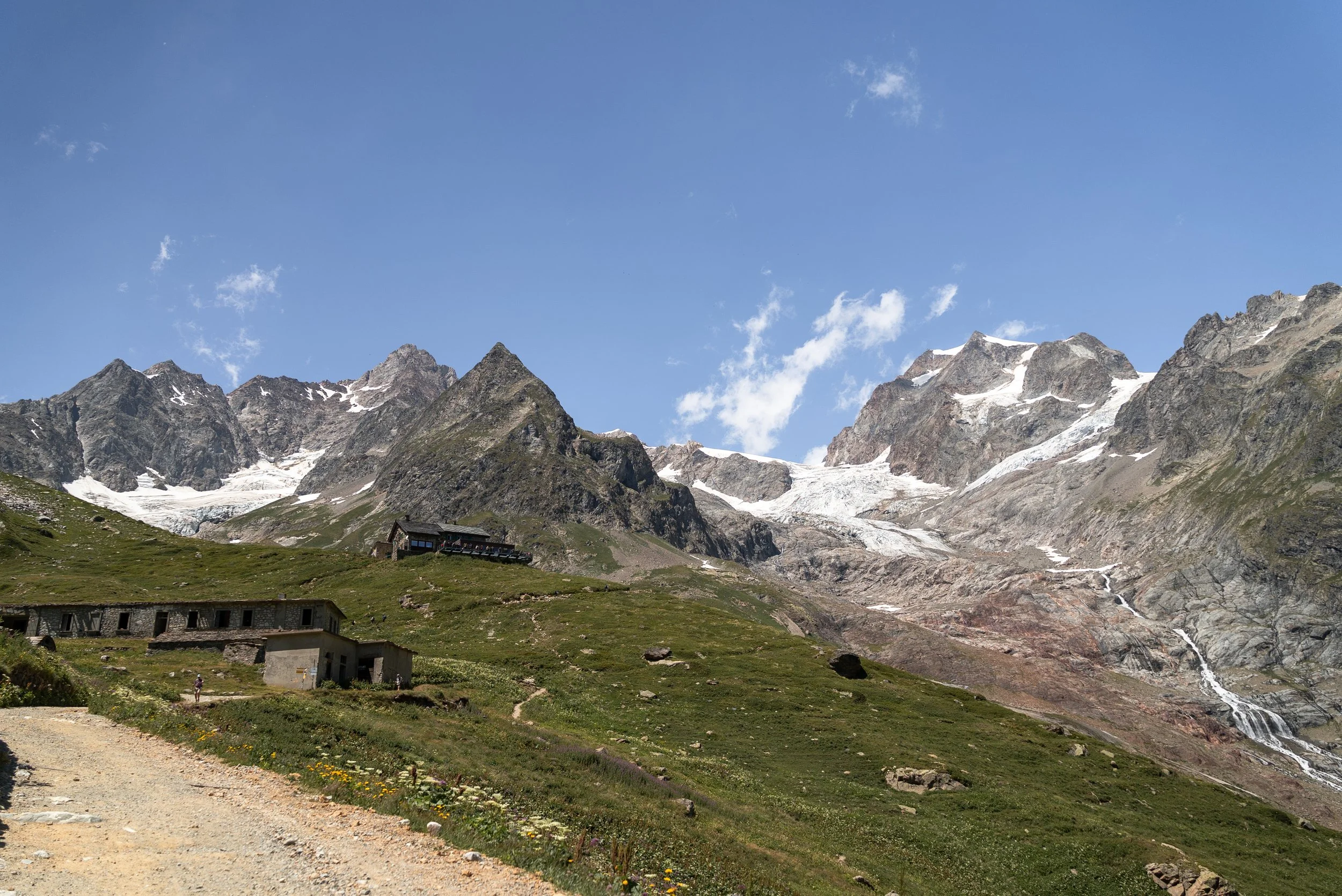
After lunch, we continued descending through Val Veny, passing beneath the huge glaciers spilling down from the Mont Blanc massif. The route here is much gentler, following a wide track through an enormous open valley where the scale of the surrounding mountains becomes increasingly difficult to comprehend.
We made a short detour to Lago di Miage, which involved passing another refuge and climbing over a mound of glacial moraine beside the main trail.
The lake is one of the few places along this section where swimming is permitted. It was smaller than I expected, and after our lengthy river bath the previous afternoon, neither Luke nor I felt particularly desperate to get in.
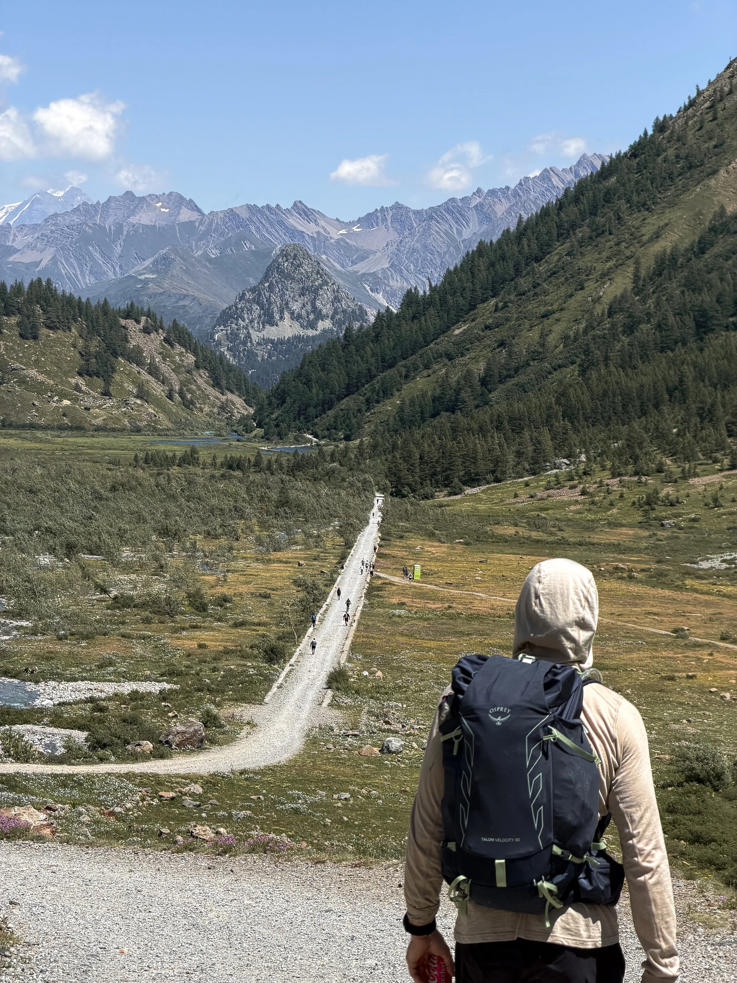
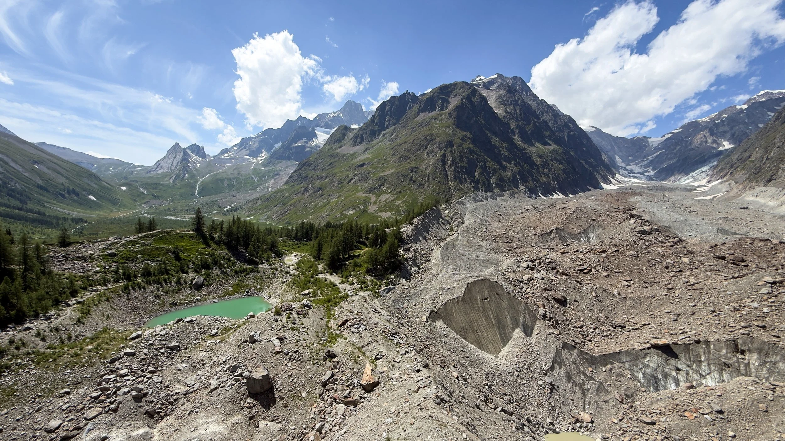
From Lago di Miage, the Travelbase route leaves the main TMB trail and initially follows the road down through Val Veny before branching into the forest and dropping towards the campsite.
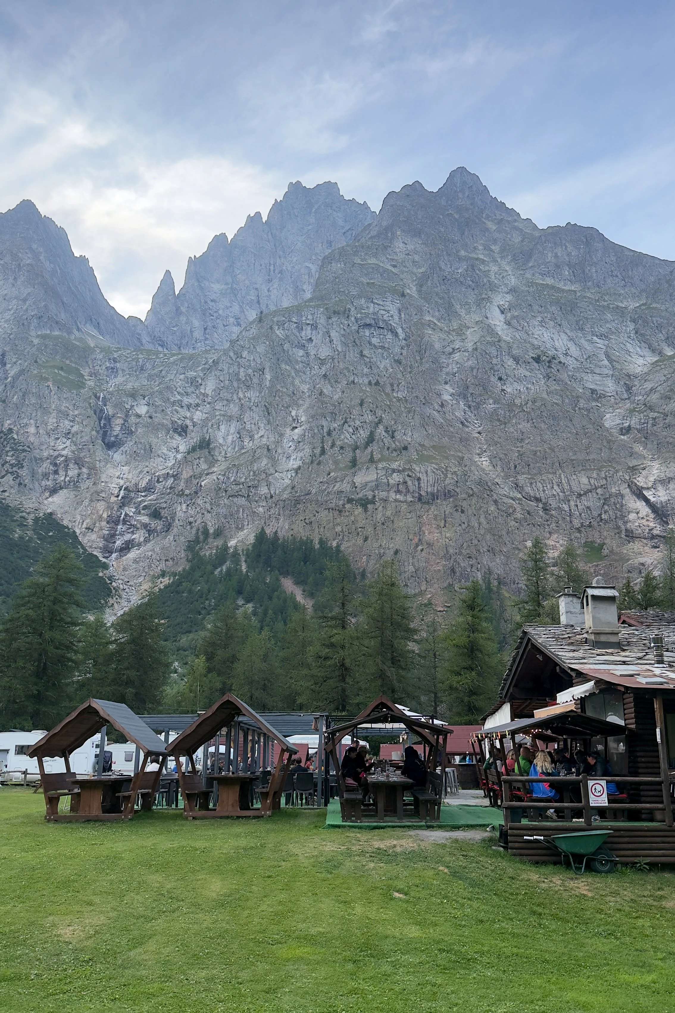
Our accommodation for the evening was a very large and scenic campsite, which sat in the shadow of the towering, jagged peaks of the Mont Blanc massif. Both the campers and those using the hut package stayed in the same location.
After the daily briefing, the group then ate together at one of the two restaurants on the campsite. This wasnt included in the trip but as it was the first meal as a group everyone choe to eat togther.
The restaurant was excellent, surprisingly affordable and had plenty of options for hungry hikers. It was also a great opportunity to get to know some of the other people on the trip.
After a pizza and pasta combination, which was elite, we retreated to our accommodation. Those of us using the hut package slept in a large, military-style canvas tent, divided into two separate sleeping areas with eight people in each section.
It may not sound particularly luxurious, but it was very comfortable. Everyone had an individual bed, charging ports were readily available and the temperature inside remained ideal throughout the night.
Day 2 was one of the most scenic stages of the entire Mont Blanc Trail. It was also our first international border crossing of the trip, with Switzerland waiting for us the following day.
Day 3: Loc Arnouva to La Fouly
Distance: 16.25km
Ascent: 950m
Highest point: Grand Col Ferret, 2,537m
After another solid nights sleep and decent breakfast, the group had an 8:30am shuttle ready for a 40 minute drive to the start point of day 3.
Once again, I decided to run the transfer, setting off at around 7:30am and following the road through Entrèves and up the valley towards Lavachey. I covered just under 15km with around 500m of ascent in 1 hour and 40 minutes, while Luke kindly carried my daypack on the shuttle.
Once again, I could immediately see why Travelbase skips it. The official TMB route involves dropping into Courmayeur before climbing back out, while the quicker valley route is largely surrounded by roads and trees. It was not unpleasant, but it offered very little compared with what was waiting for us later that day.
The official hike begins near Chalet Val Ferret, where you are greeted by more incredible views of the towering mountains and the glaciers that occupy them. Theres a bus stop here, and from the frequency of the shuttles which passed me while running, and arrived while I was getting ready, skipping the previous sections seems a popular choice.
The hike starts with a steep climb, which was made more enjoyable by the dozens of cows occupying the path. It then levels out before another punchy little climb to Rifugio Elena.
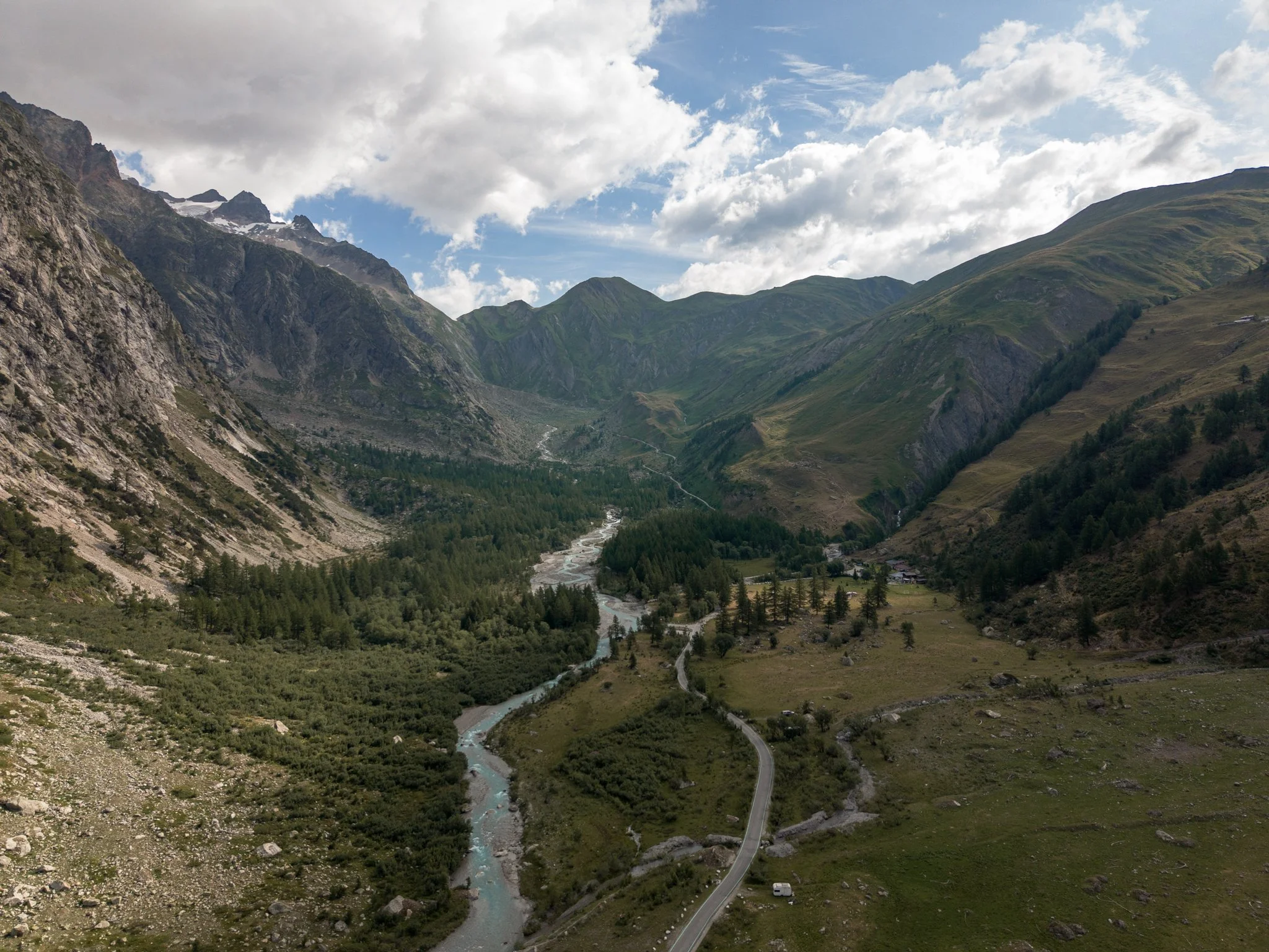
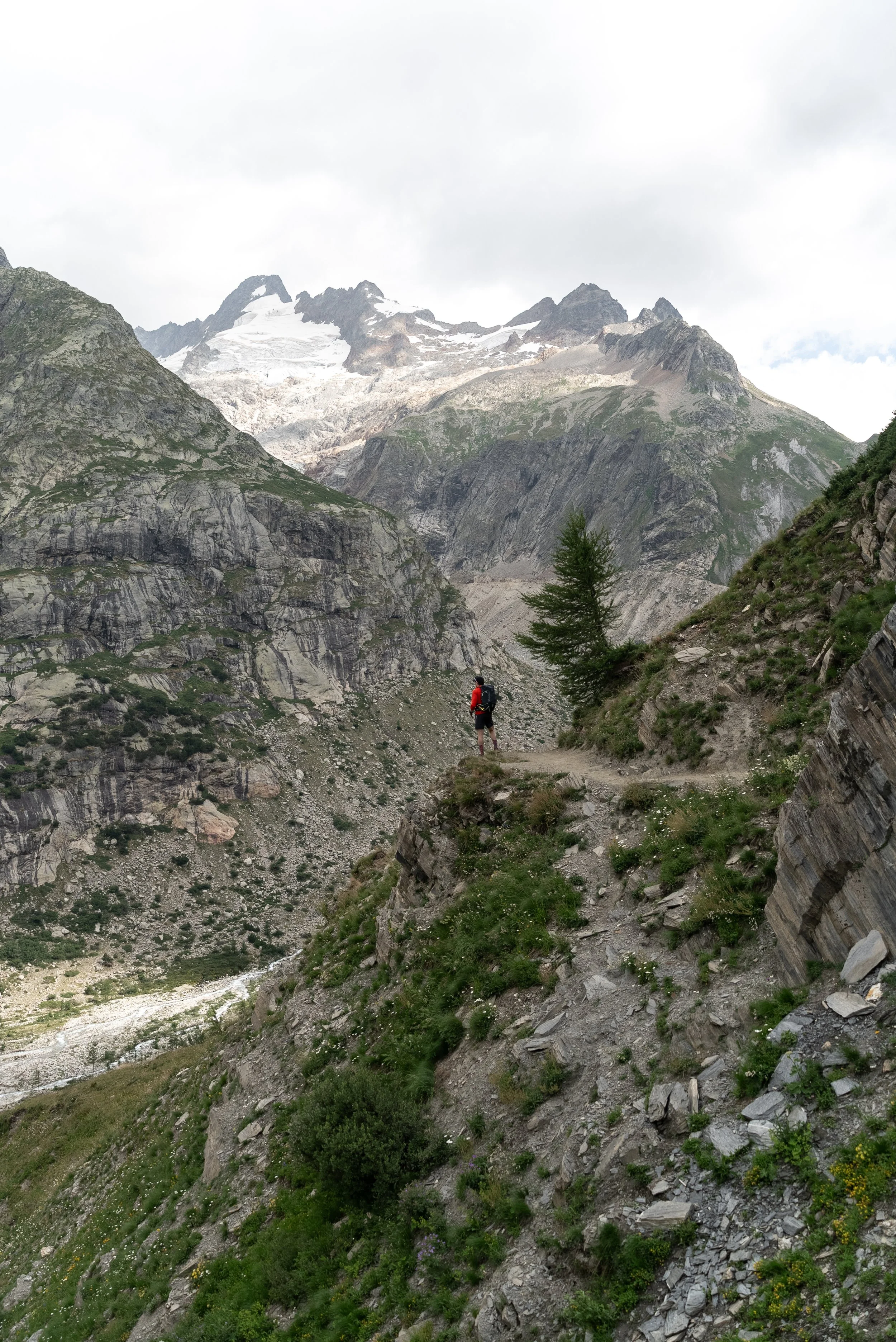
Located directly in front of the glacier, with unobstructed balcony views, the refuge would have been an excellent coffee stop. I cannot comment on the quality of the coffee, but it was still Italy, so I imagine it would have been pretty good.
However, we were only an hour into the day and still had the biggest climb ahead of us, so we cracked on towards the Grand Col Ferret.
The trail climbs steeply and relentlessly towards the border, with the glacier growing larger behind you and the Italian valley stretching farther into the distance with every step.
It was one of the toughest climbs of the trip, but also one of the most rewarding, with the increasingly impressive views providing plenty of excuses to stop for photographs rather than admit we needed to catch our breath.
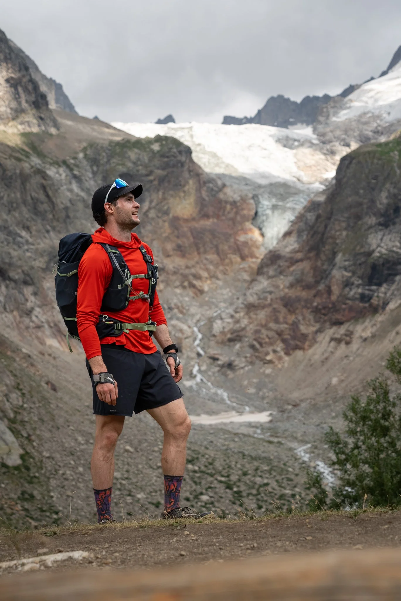
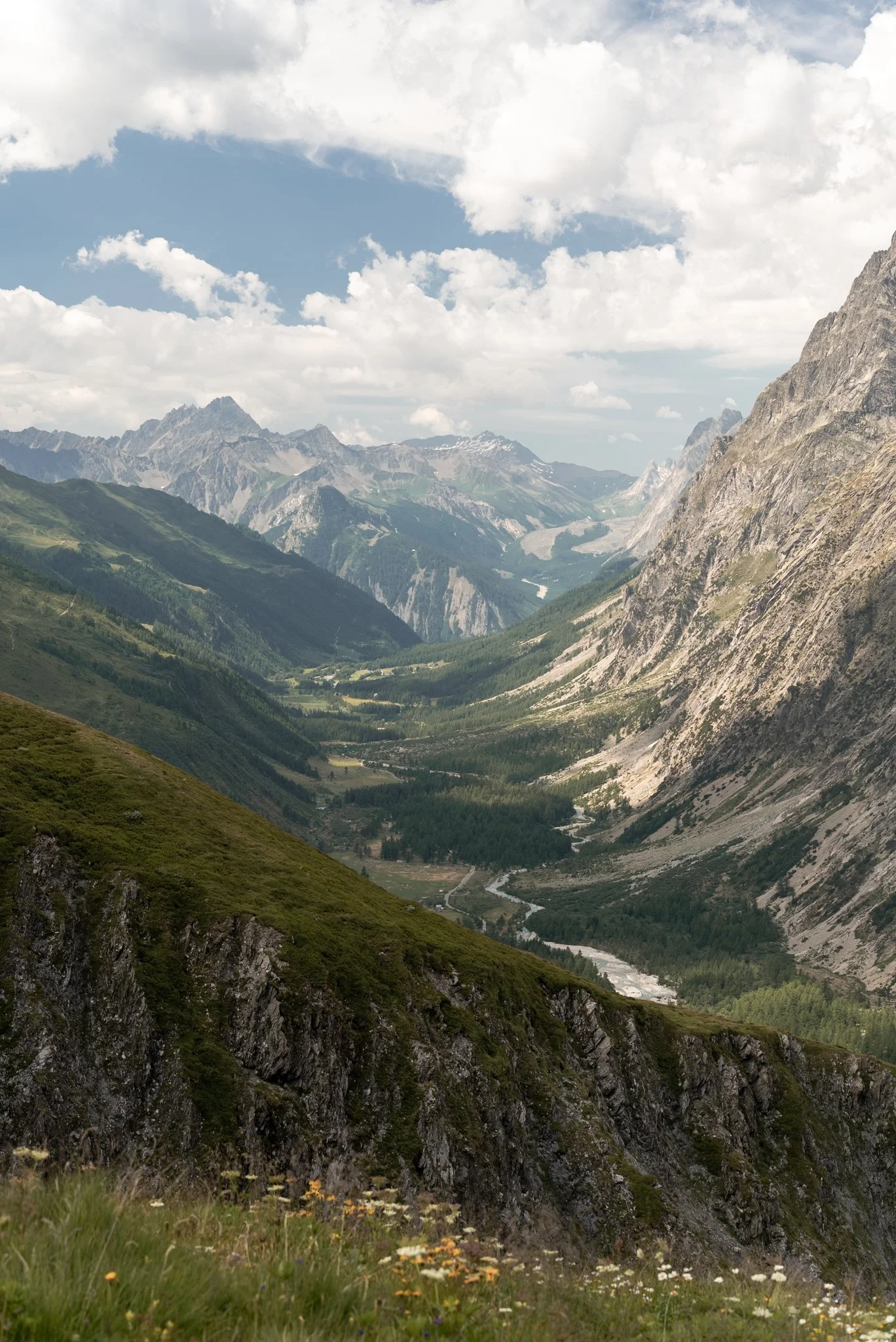
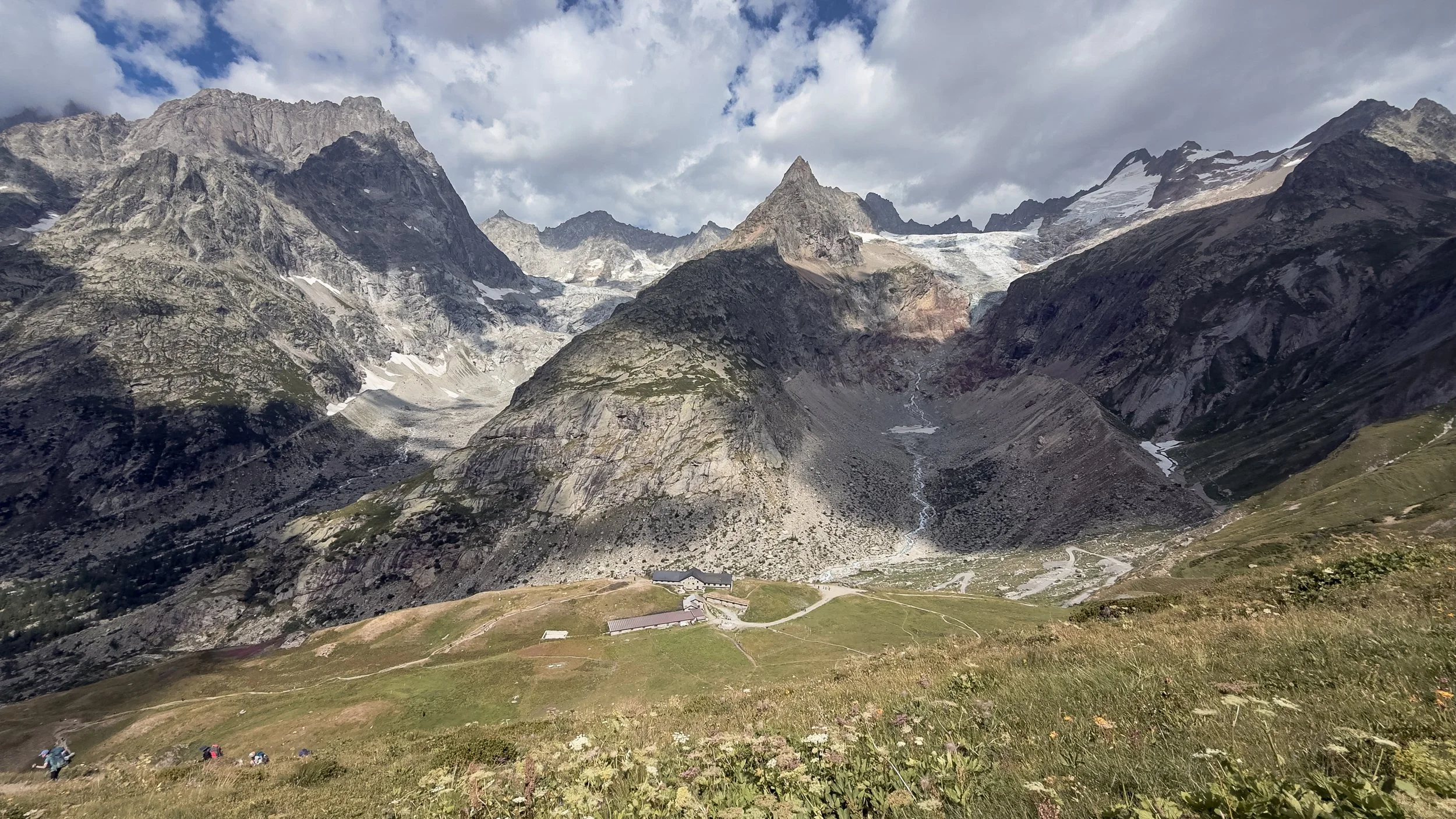
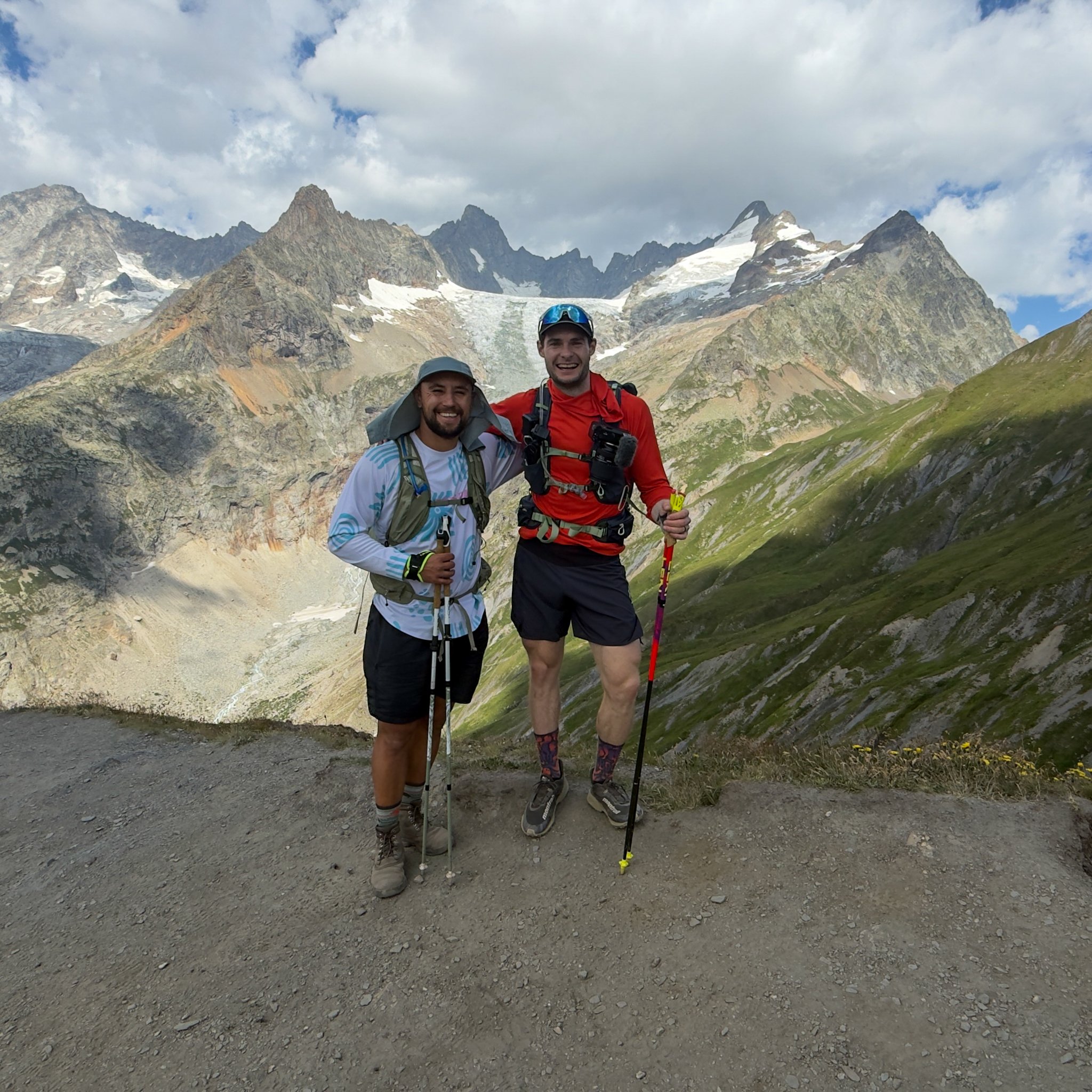
Sitting at 2,537m, the Grand Col Ferret marks the border between Italy and Switzerland and was one of the highlights of the entire Mont Blanc Trail.
From the top, we could look back across the rugged mountains and glaciers of Italy before turning around to see the long green valley stretching into Switzerland. The contrast between the two sides of the pass was incredible, and standing between the two countries, surrounded by huge mountains, made the climb feel worth every step.
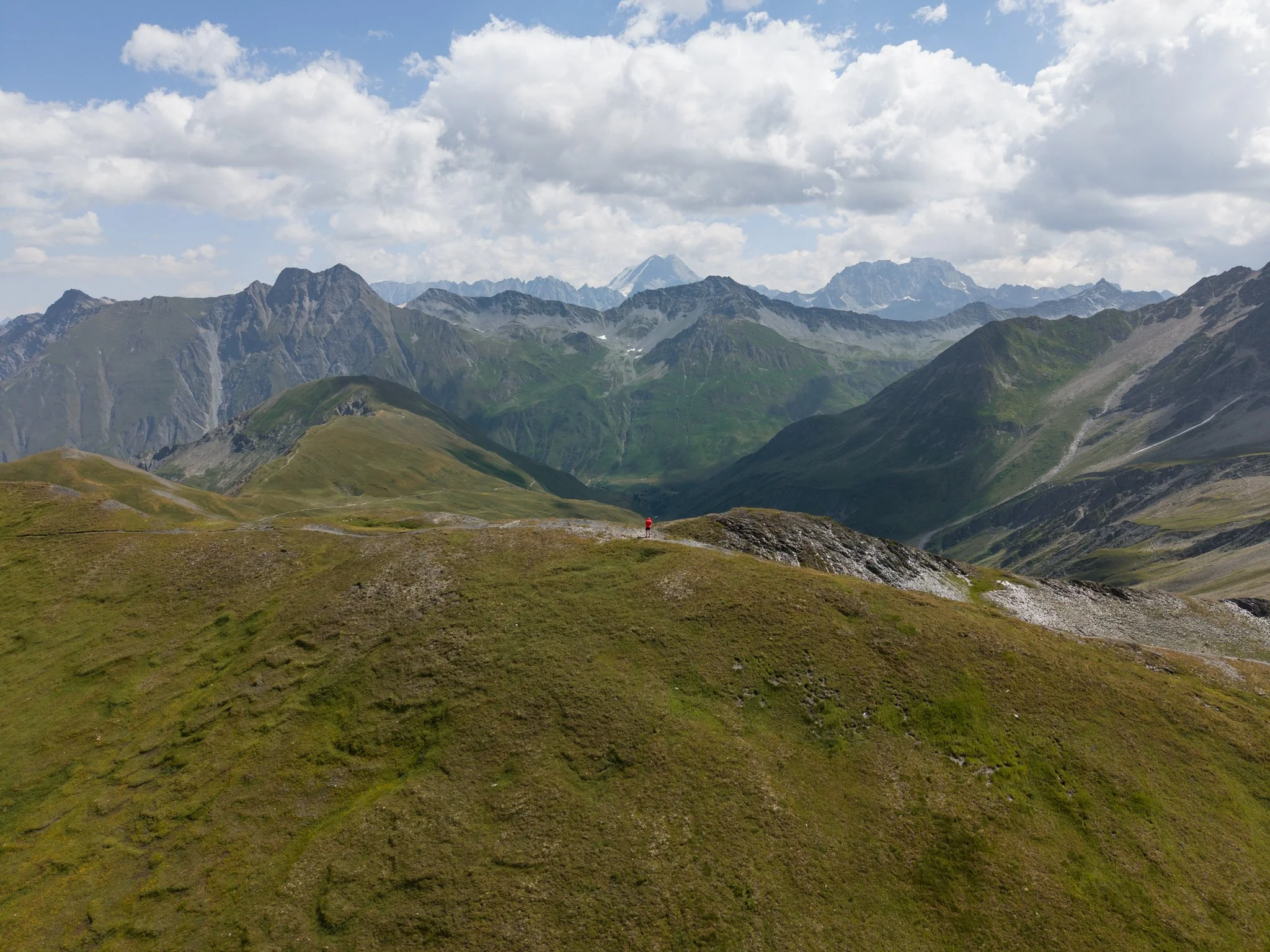
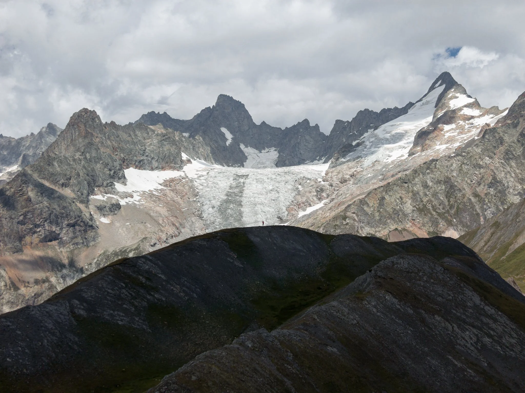
The col was extremely busy, so I would recommend following the gentle ridge behind the border marker for a short distance. Not only do the views become even better, but the peak will probably be completely empty.
Luke did not come up with me, but I used it as a rare opportunity to escape the crowds and fly my drone somewhere with no people around and no local restrictions.
The trail then descended into Switzerland, so do not forget to turn off your mobile data, steadily skirting around the mountainside towards Alpage de la Peule.
As the official TMB route passes directly through the outside seating area of the refuge, it was incredibly busy. Being in Switzerland, it was also very expensive. Luke and I did not fancy taking out a mortgage for an omelette while also waiting quite a while for it to arrive, so we decided to crack on.
Much to our delight, once we reached the bottom of the mountain, we were greeted by another small restaurant, Alpage des Ars. As it was accessible by car rather than being high on the mountain, it was a much quieter lunch stop, mainly filled with older day trippers rather than hikers. It also had a better view than the previous refuge, looking up towards the imposing Glacier de l’A Neuve.
Luke and I settled on the tartiflette, which he had been raving about since we crossed the border. It was very good, although the bill provided an immediate reminder that we were definitely in Switzerland.
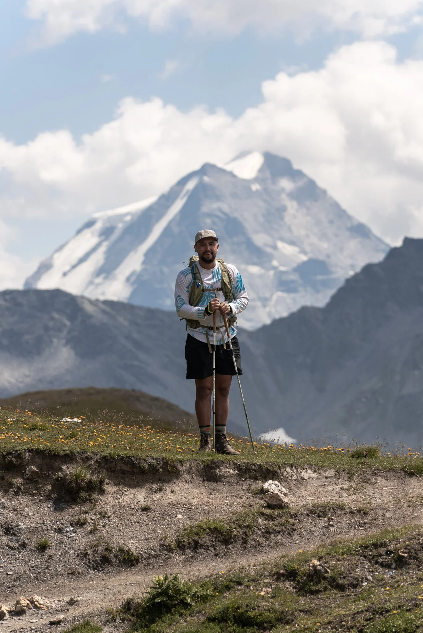
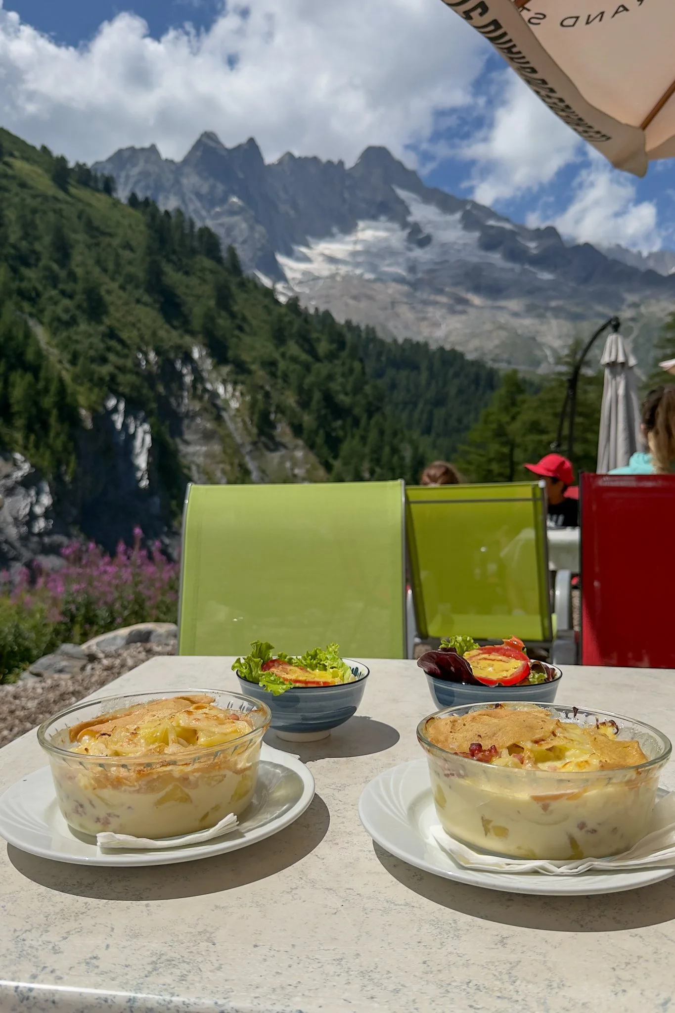
The remainder of the route followed the river towards La Fouly, with the landscape gradually changing from exposed mountains into green meadows, forests and traditional Swiss buildings.
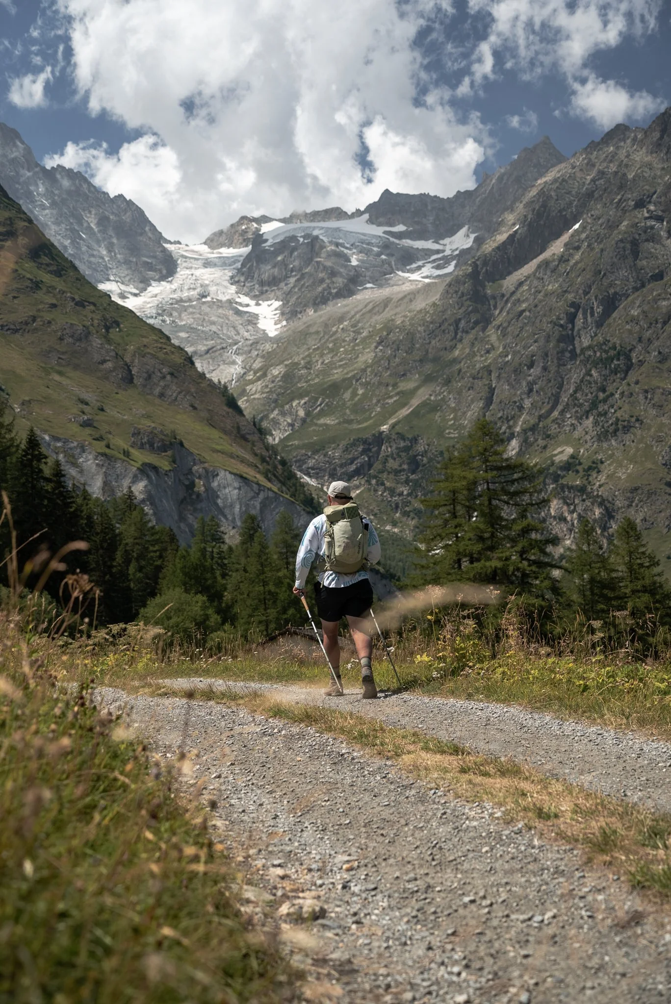
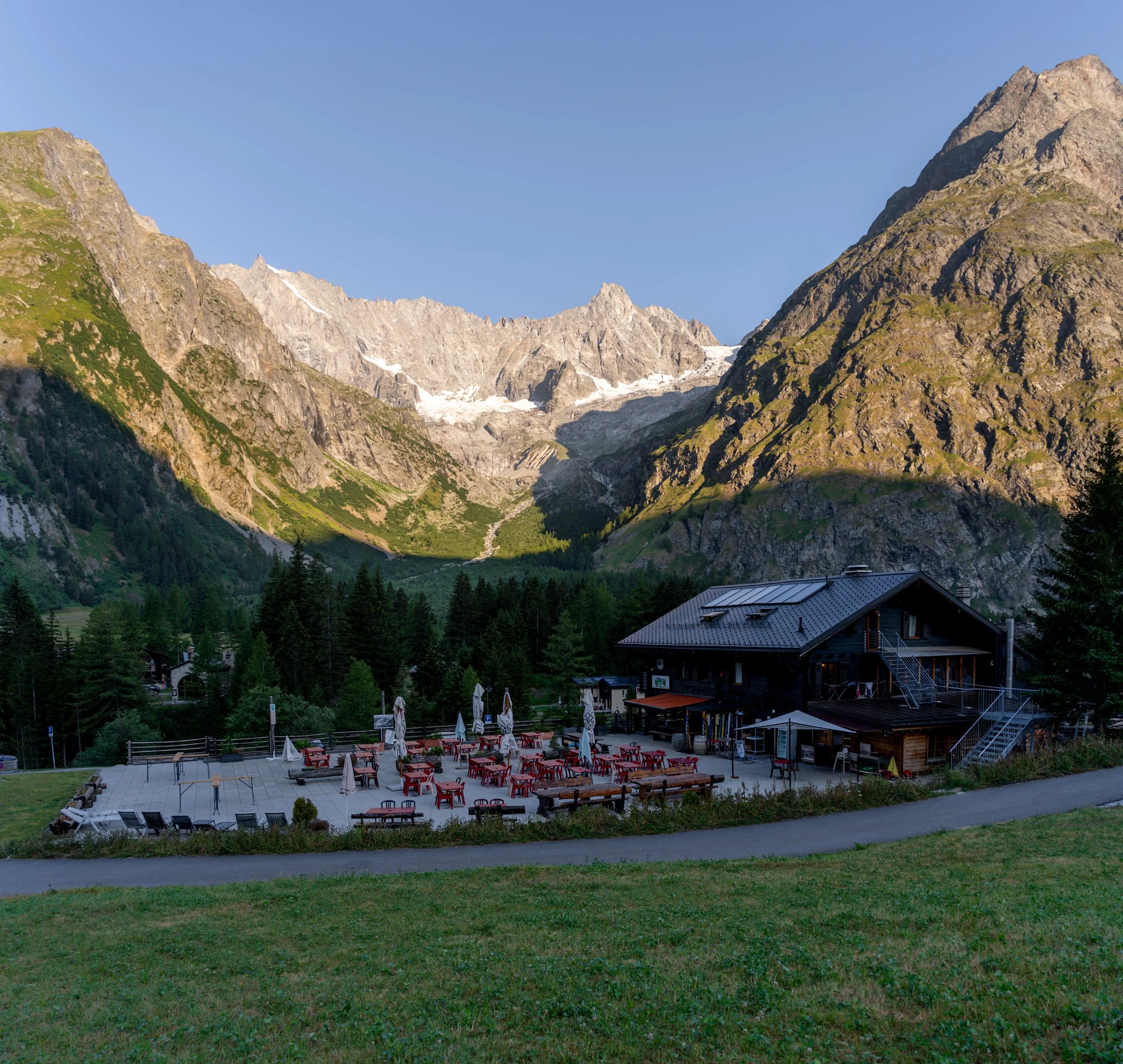
La Fouly was one of my favourite locations on the TMB, a beautiful village surrounded by steep mountains and glaciers, where I could easily have spent several more days.
Our accommodation was an eight-person dormitory above a restaurant, although only four of us stayed in the room, meaning everyone had an entire bunk bed to themselves. There were hot showers, plenty of charging points and an excellent supermarket downstairs, where Luke and I bought a beer and an ice cream before sitting outside to admire the view.
After the evening briefing, we returned for another included three-course meal, with the staff bringing out more of the main course and me continuing to eat it.
With the incredible mountain views, comfortable accommodation, hot showers and generous food, this was probably the second-best stay of the trip, narrowly behind the lakeside hotel
Day 4: Champex-Lac to Trient
Distance: 17.6km
Ascent: 1,080m
Highest point: Alpage de Bovine, approximately 2,000m
While the rest of the group enjoyed a relaxed transfer from La Fouly to Champex-Lac, I once again spent the morning running the transfer.
I had not planned to do this, but as I wanted to complete the full TMB, I did not fancy making the long journey back to Switzerland just to hike 14km along arguably the most boring section of the route.
The trail from La Fouly mostly descends through the valley for the first 9km before climbing steeply through the trees towards Champex-Lac. I mainly followed the road because I was limited for time, while the official route runs largely through woodland and beside the river.
It was pleasant enough, but as much of the route is hidden within the trees or close to the valley floor, you do not get much in the way of views, especially none that are as impressive as the other sections. It is therefore easy to see why Travelbase, and many other highlights tours, choose to skip it.
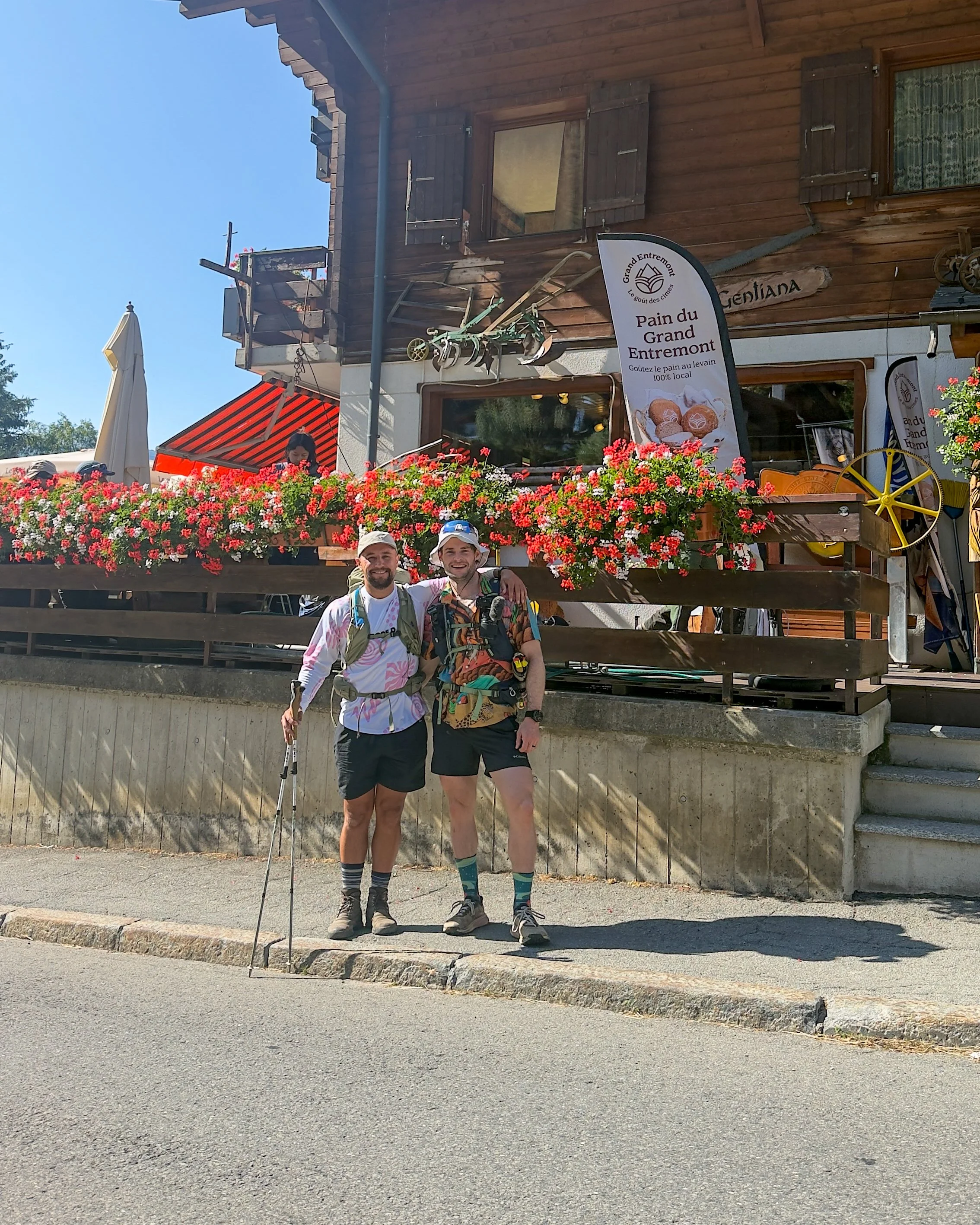
After covering 13.56km with 483m of ascent in just under 1:40. I arrived at the bakery as the remainder of the group were being dropped off. With fresh pastries and coffee on offer, us and several other members of the group, did not pass up the chance to enjoy a leisurely start to the day on the terrace in the sun.
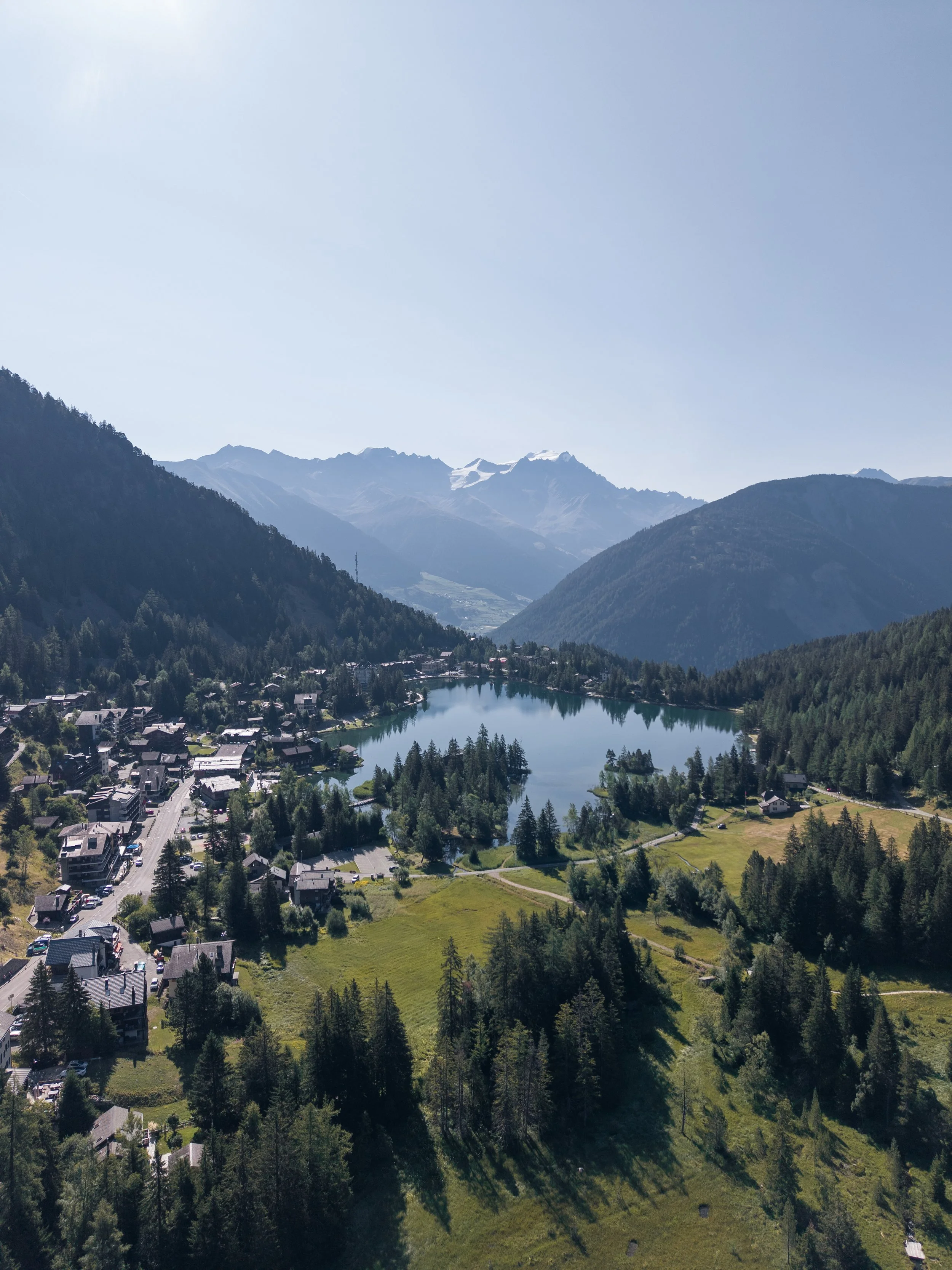
Champex-Lac itself is a beautiful mountain village built around a vibrant Alpine lake,. I had the opportunity to pass during my run but i would recommend making the effort to head down to its beautiful shoreline.
I wish I had walked back down for a swim before setting off but I was enjoying the pastries too much.
After our second breakfast, we joined five solo hikers who had become friends during the trip, two from Belgium, two from the Netherlands and one from Germany, before beginning the undulating traverse across the side of the valley.
It was great to have some additional company and varied conversation during the first part of the walk, Although the ladies did take a wrong turn, so they were quickly relieved of their navigation duties.
The route eventually turned uphill and began the long climb towards Alpage de Bovine, which is pretty relentless and one of the tougher ascents of the week.The climb comes in two sections, the first of which is mostly shaded by trees, offering some welcome relief from the heat.
The second section begins steeply within the trees, but gradually eases as the views start to open up. By that point, the scenery provides a welcome distraction as the trail skirts around the mountainside towards the first refuge of the day.
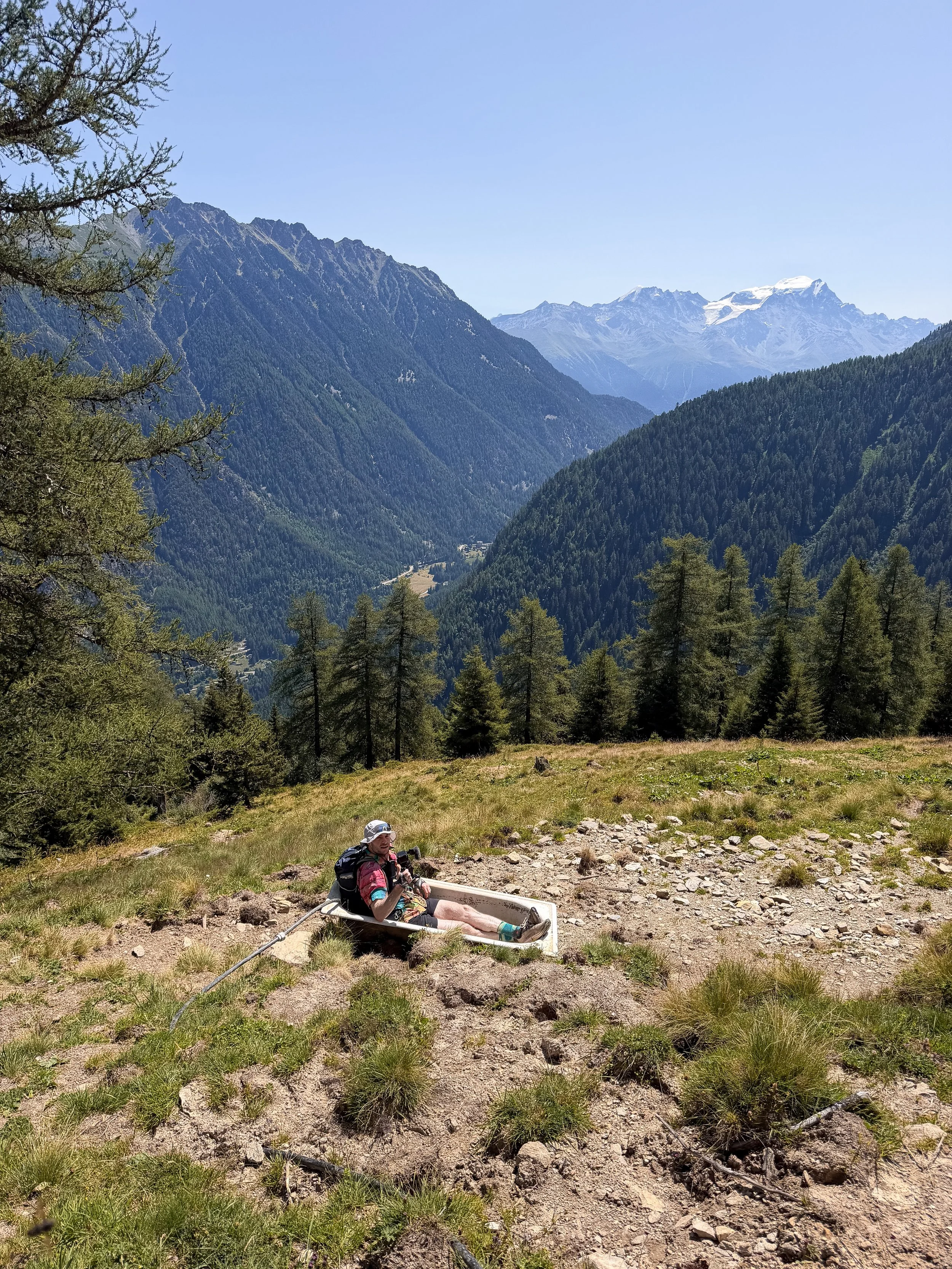
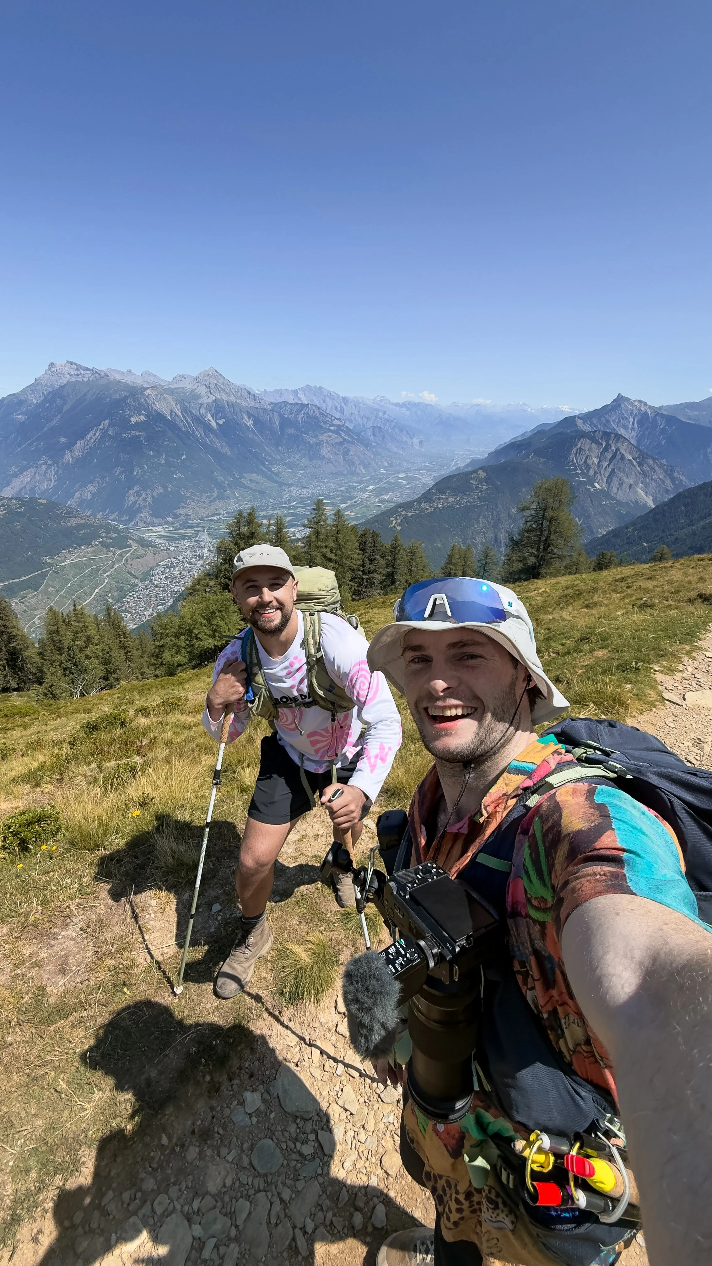
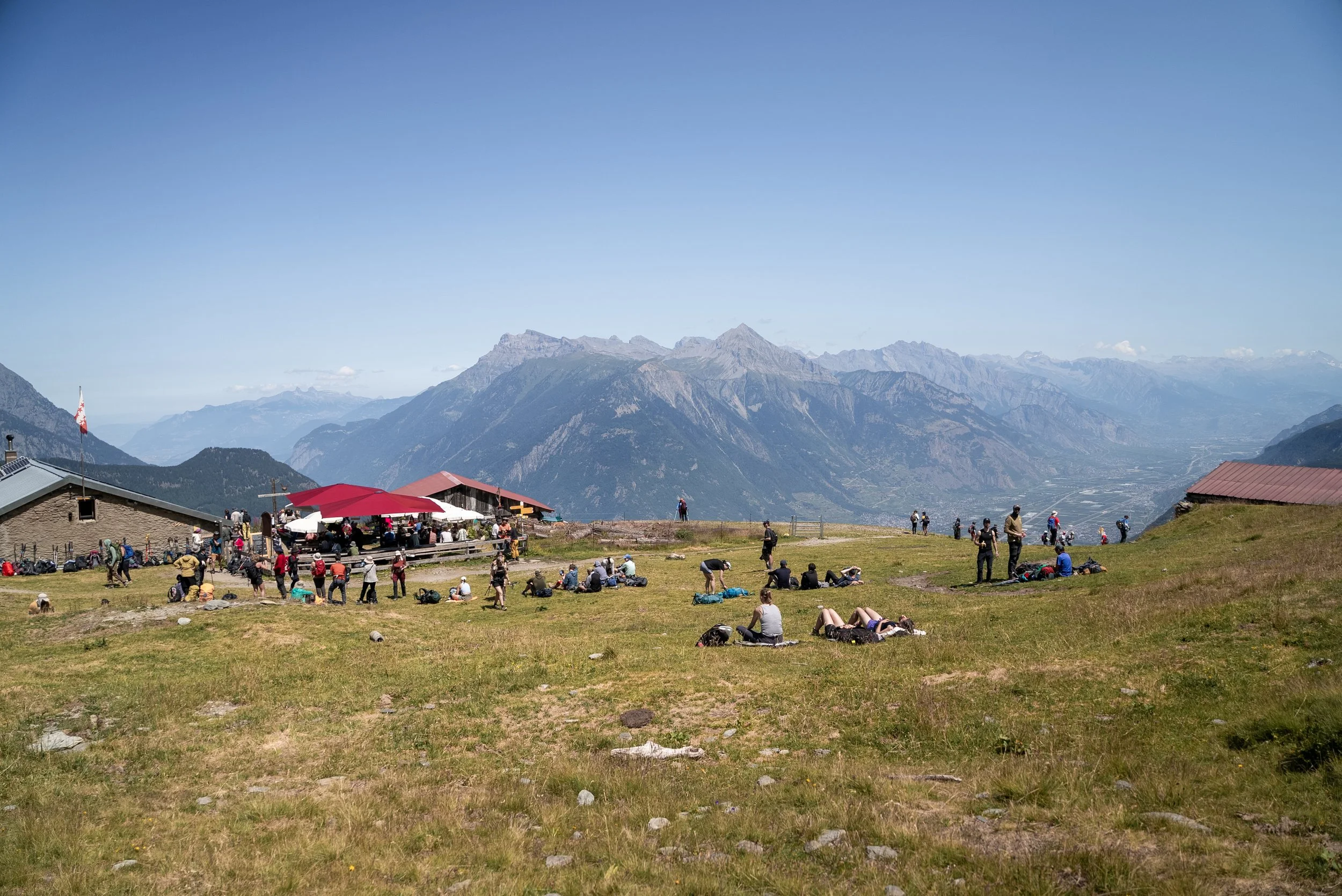
Alpage de Bovine was extremely busy when we arrived, and food was only available to those who had booked in advance, and there was aque out the door for those who wanted with drinks or snack
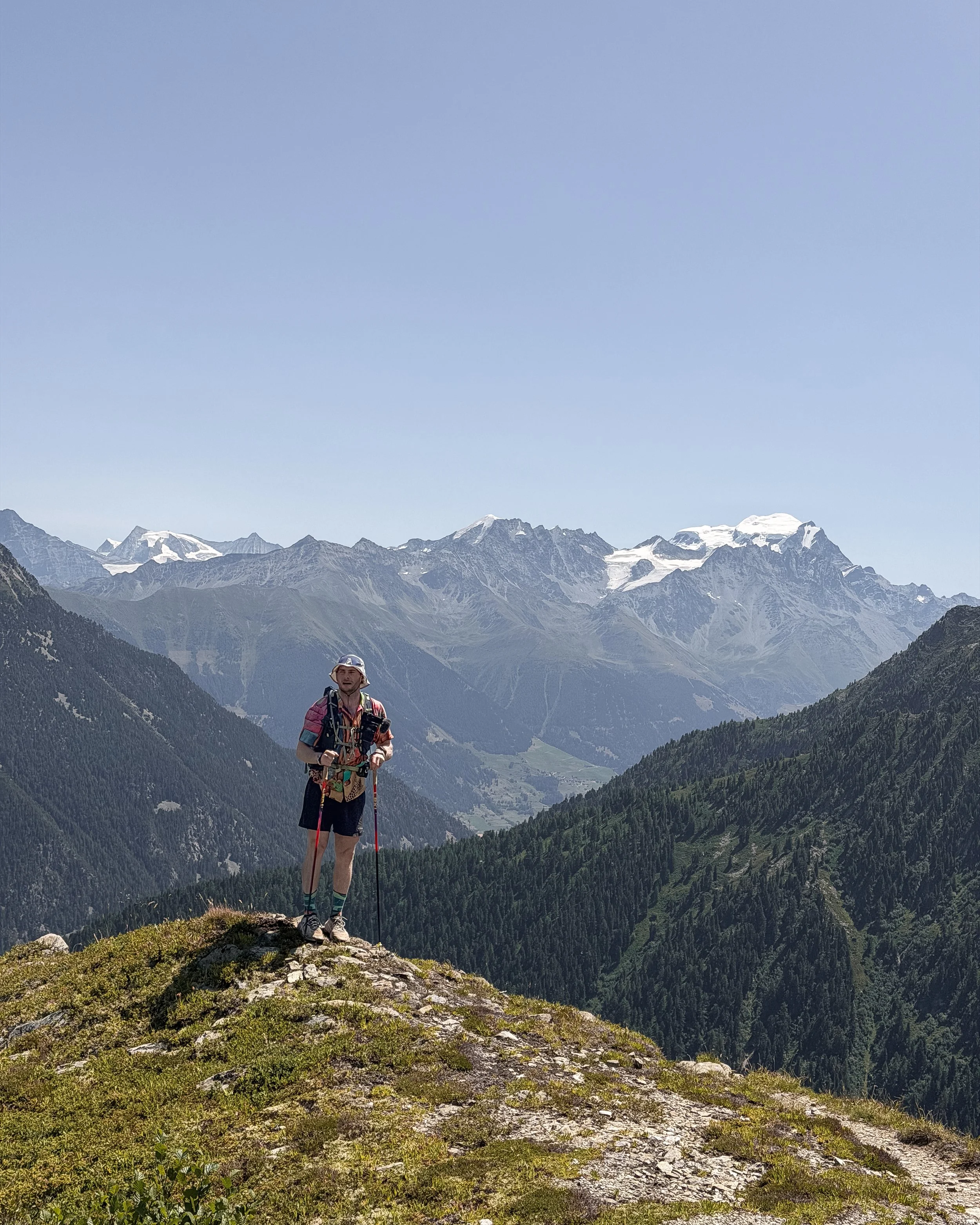
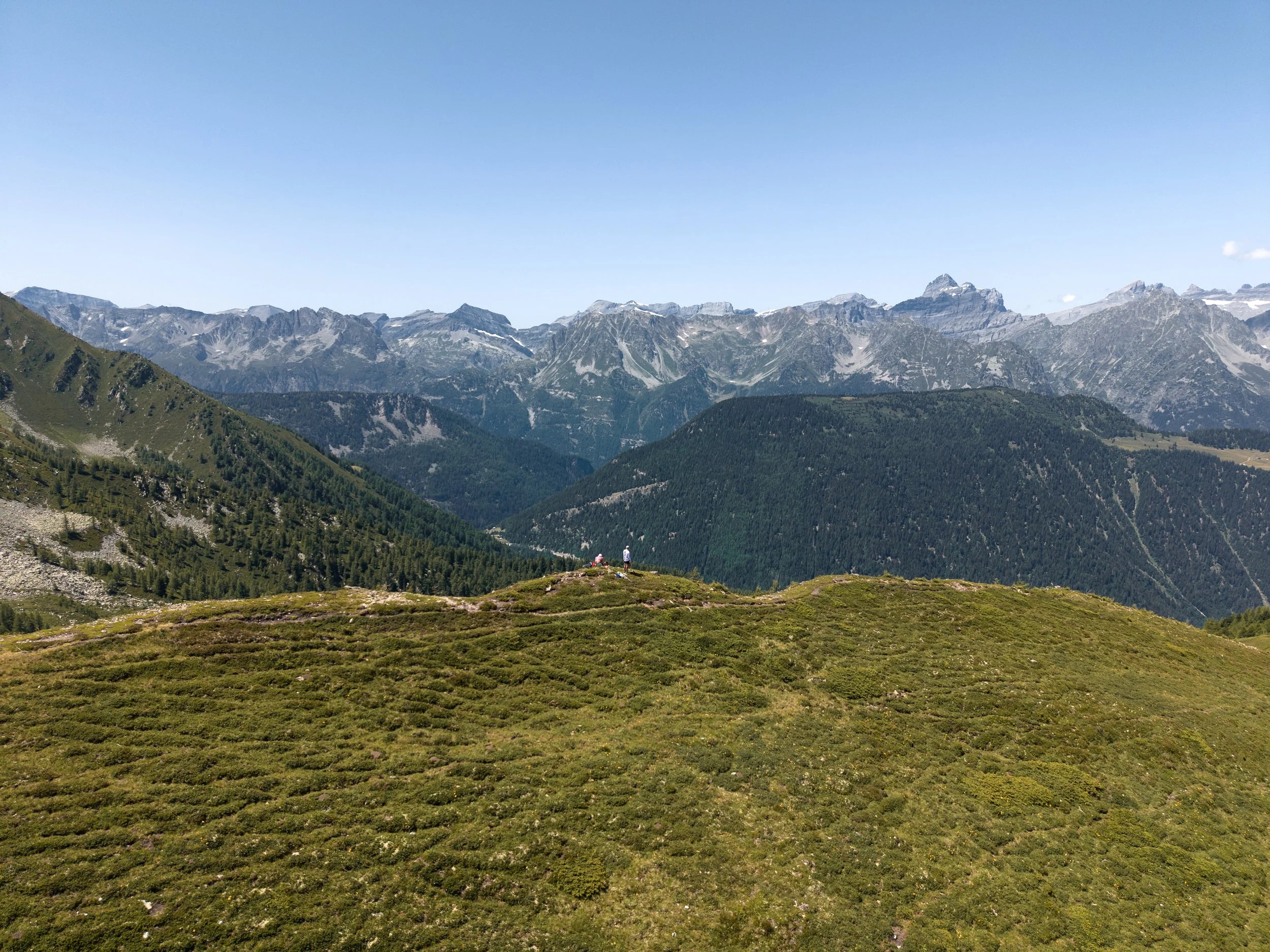
Thankfully we were carrying our adventure meals, and after spotting a cross on the grassy hill above the refuge, I convinced Luke to hike up towards it and have lunch there.
Although it added around a mile and another 200m of ascent to the day, the views and solitude were more than worth it. We had the entire plateau to ourselves and there was barely a breath of wind.
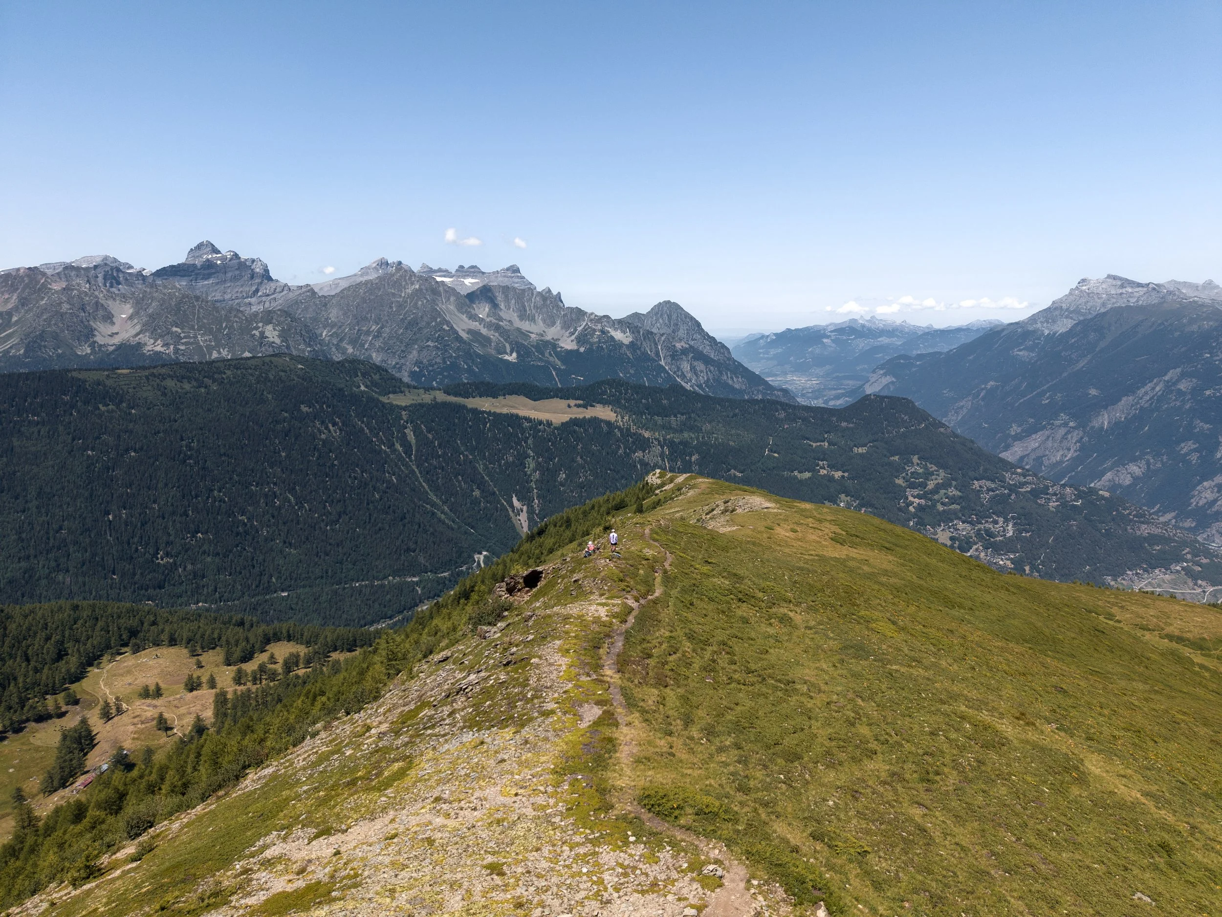
Rather than retracing our steps, we joined another trail on the opposite side of the hill, rejoining the official TMB before beginning the descent towards Col de la Forclaz.
The col was very busy, not only with hikers but also cyclists and drivers, and it was a far cry from our solitary lunch stop 90 minutes earlier. We stopped for a well-earned ice cream before making the final short but steep descent into Trient.
Trient is a beautiful little village tucked away inside a steep-sided valley, with a striking pink church. Aside from that, there is very little there, (including no shop) so make sure you stock up on snacks in La Fouly, or Champex-Lac.
After the evening briefing, we retreated to our accommodation for the night, a large hotel located at the opposite end of the valley, where the group shared a 10 bed dormitory containing bunk beds and two sinks.
Dinner was another included three-course meal. The soup was embarassingly flavourless (and become a joke between the group) but the spaghetti Bolognese was excellent. Once again, I ate other people’s leftovers and even went as far as returning to the kitchen to ask for more, which they duly provided.
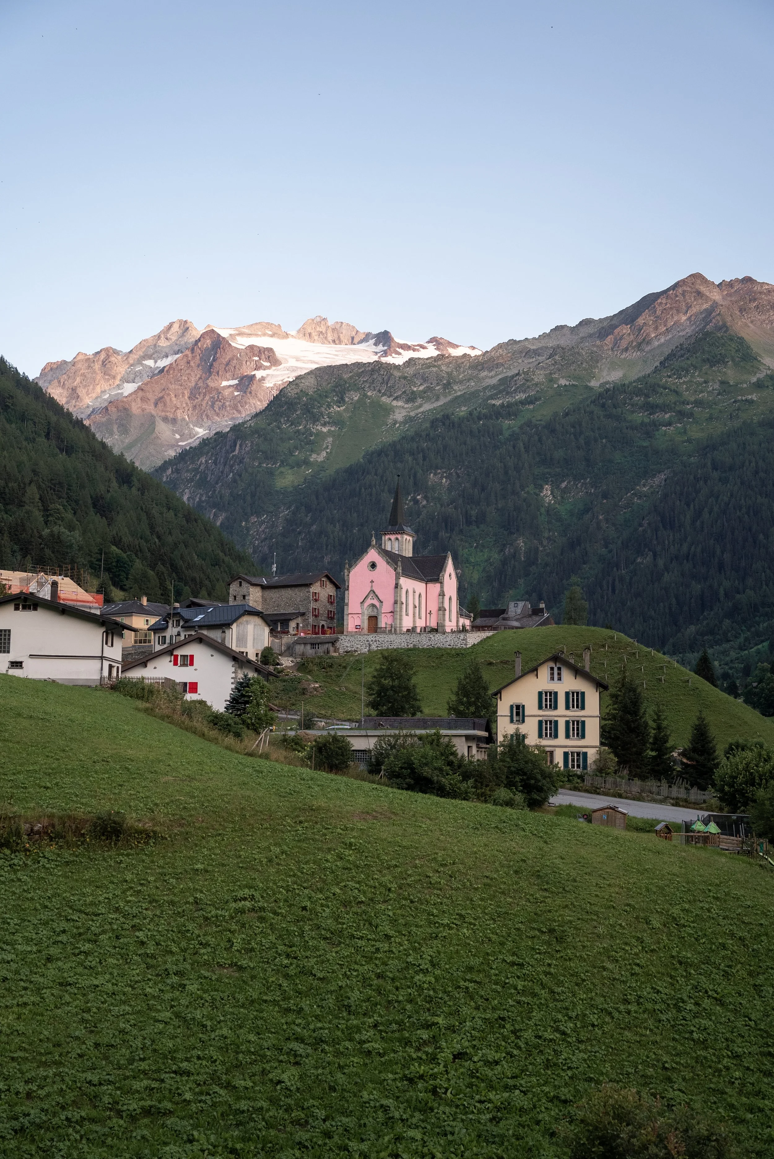
The view from the dormitory balcony
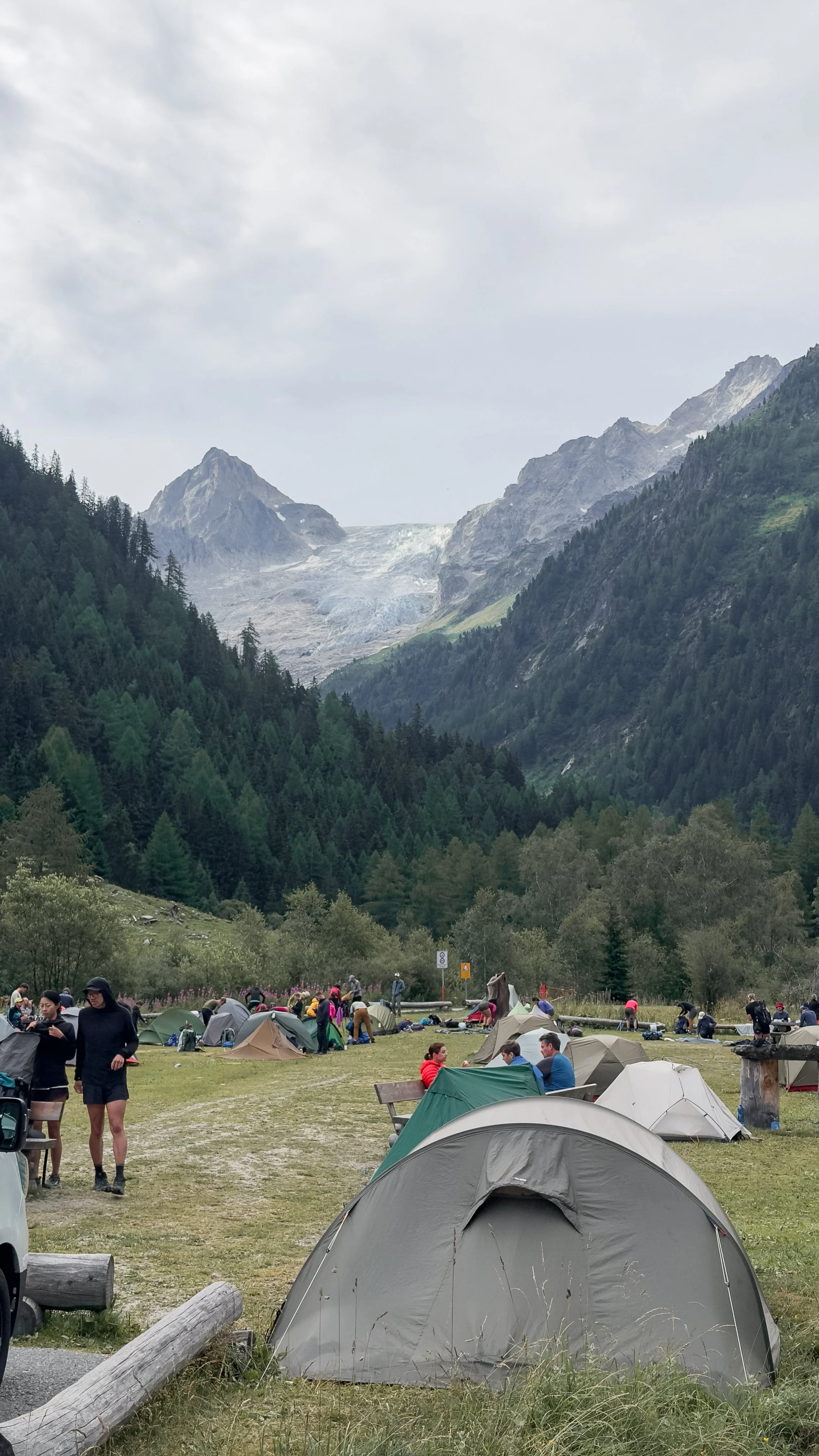
Trient Campsite
Day 5: Trient to Montroc Le Planet
Distance: 16km
Ascent: 1,170m
Highest point: Col de Balme, 2,191m
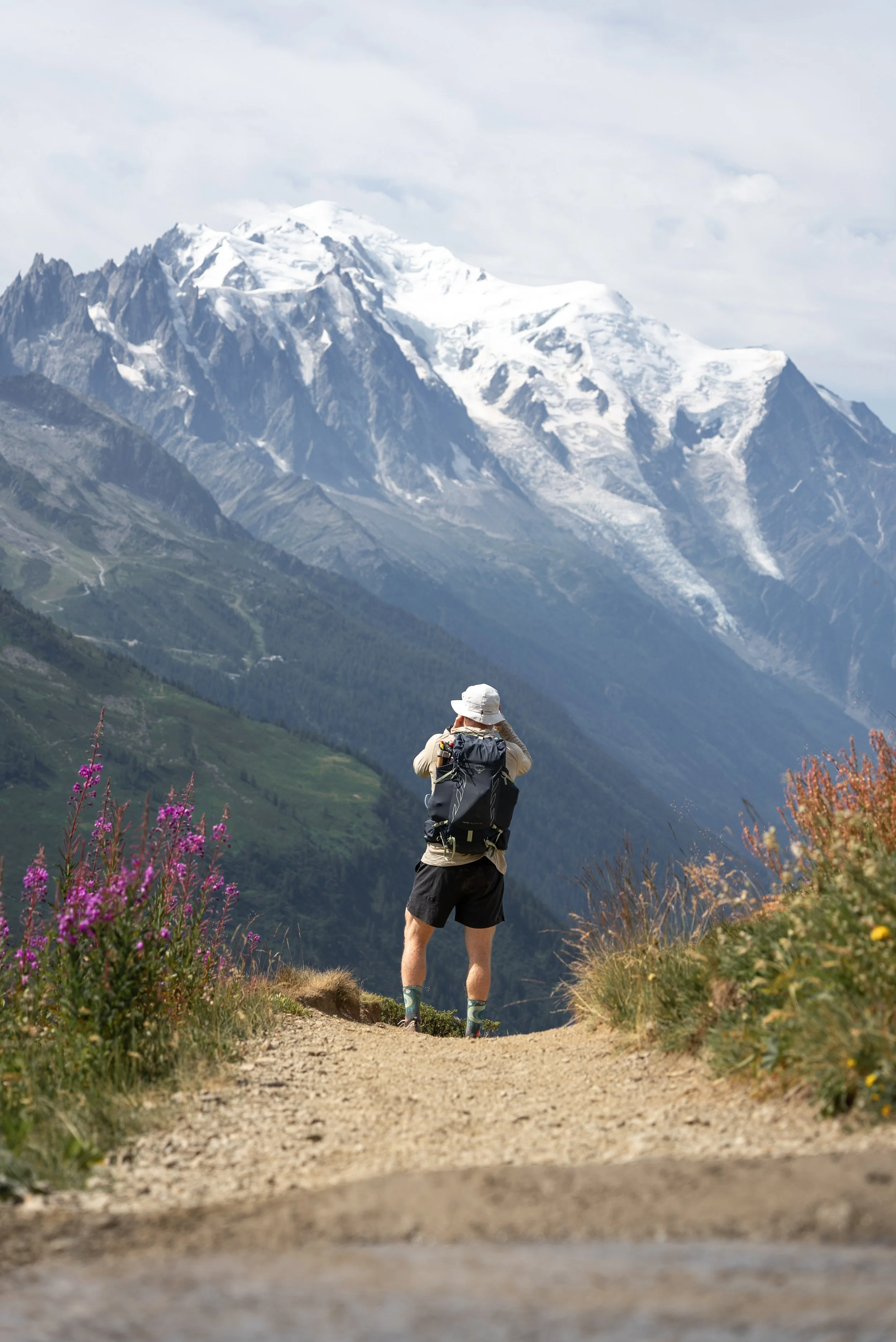
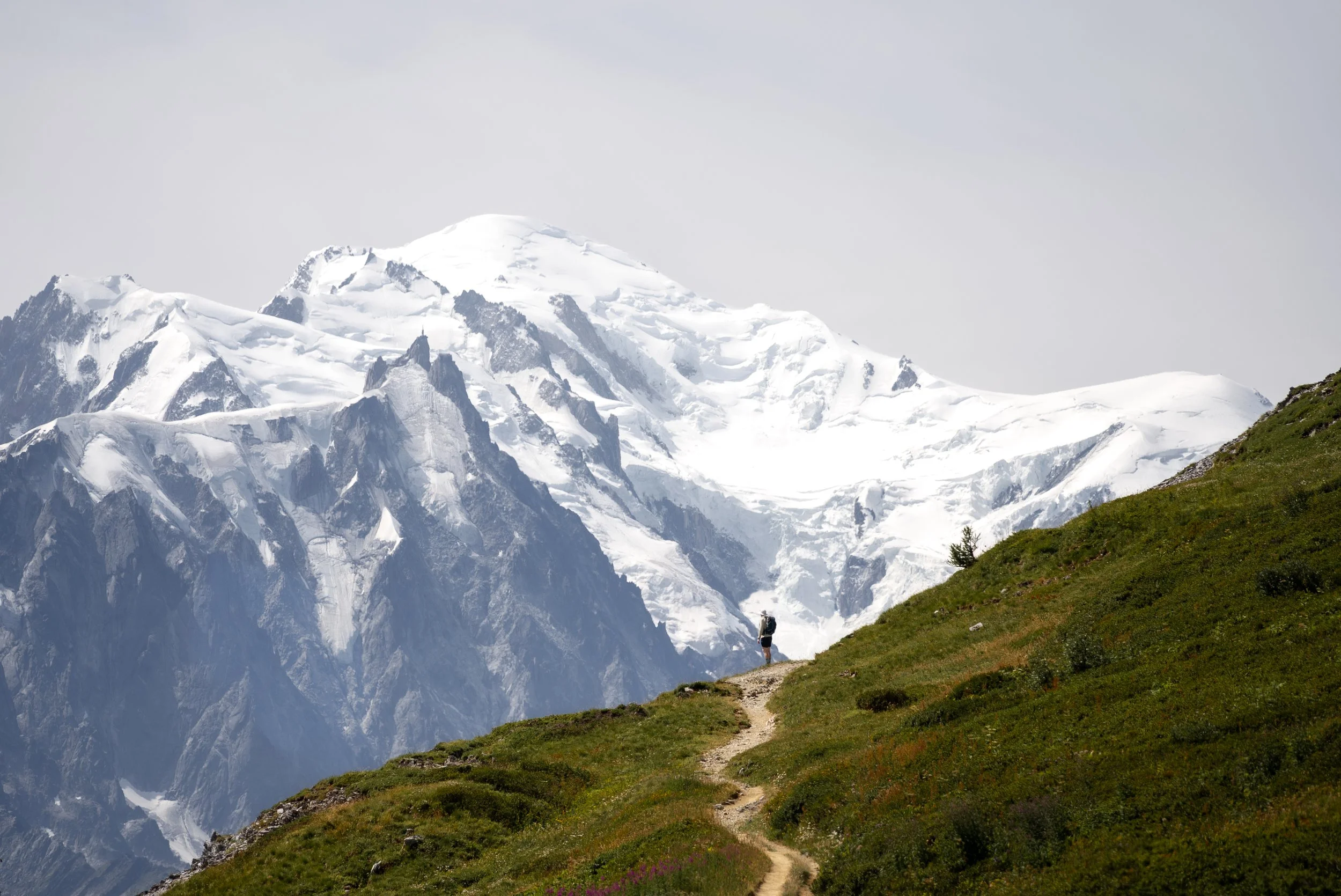
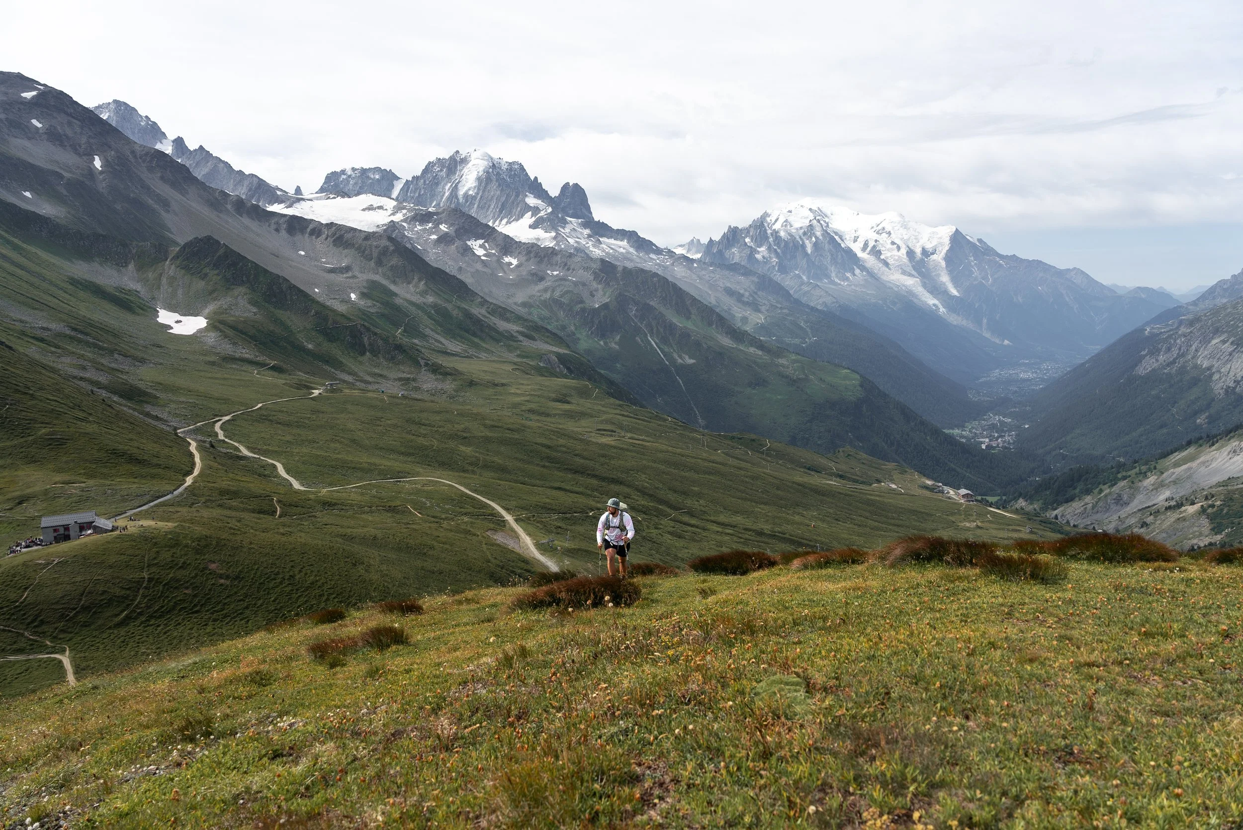
After spending four days circling Mont Blanc without getting a proper sight of the mountain itself, Day 5 finally delivered the views we had all been waiting for.
The route initially climbs gently out of Trient, passing by the campsite, and offering terrifc view up towards the Tirent glacier. Its not gentle for long as the route hooks a right, enters the trees and turns into a relentless series of switchbacks.
It was another long and sustained climb, but knowing that Mont Blanc was waiting on the other side made it easier to keep putting one foot in front of the other, even if the previous four days were beginning to catch up with everyone’s legs.
The route does ease off towards the top and emerges from the trees, where you are rewarded with some views, before its crests at the Col De Balme.
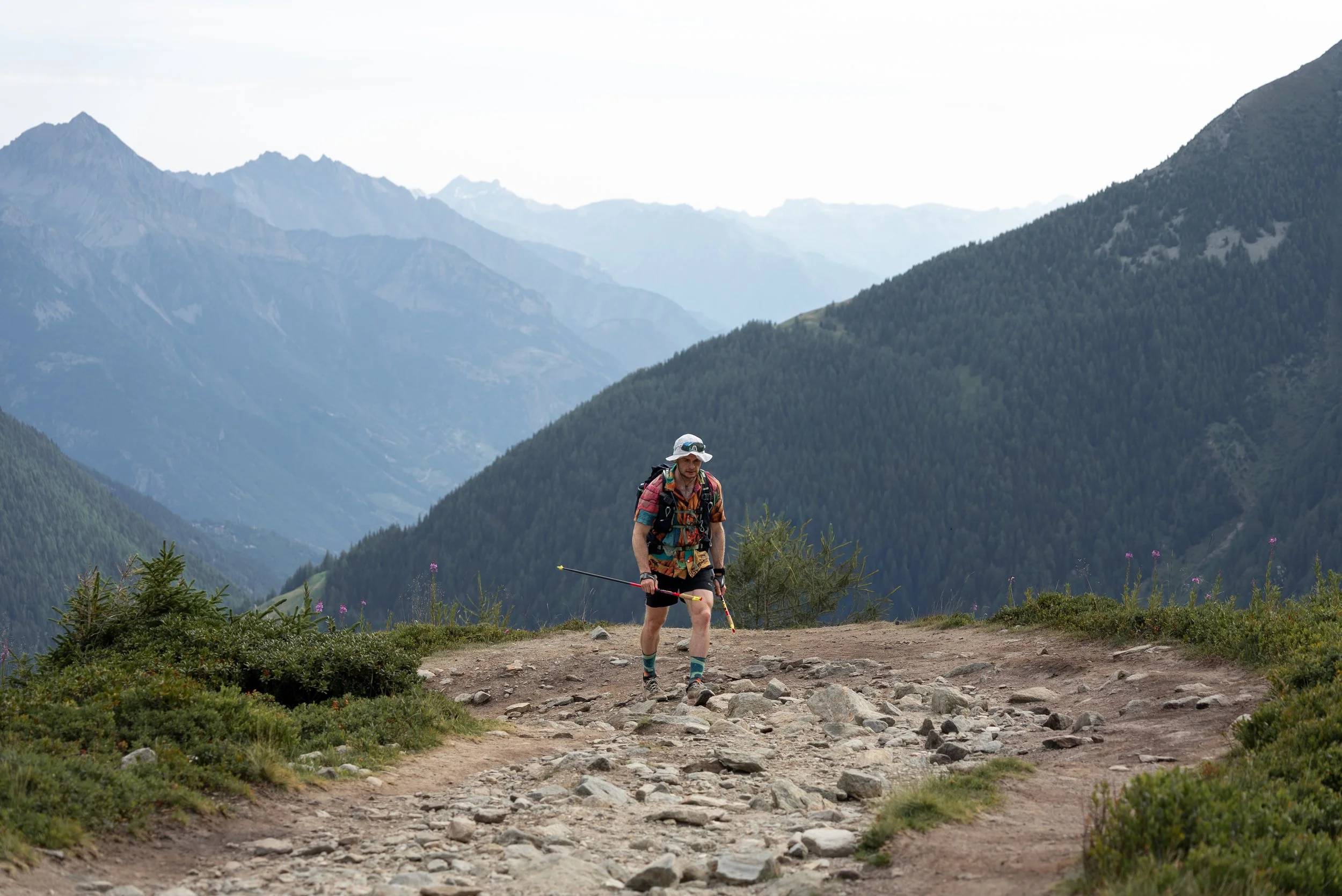
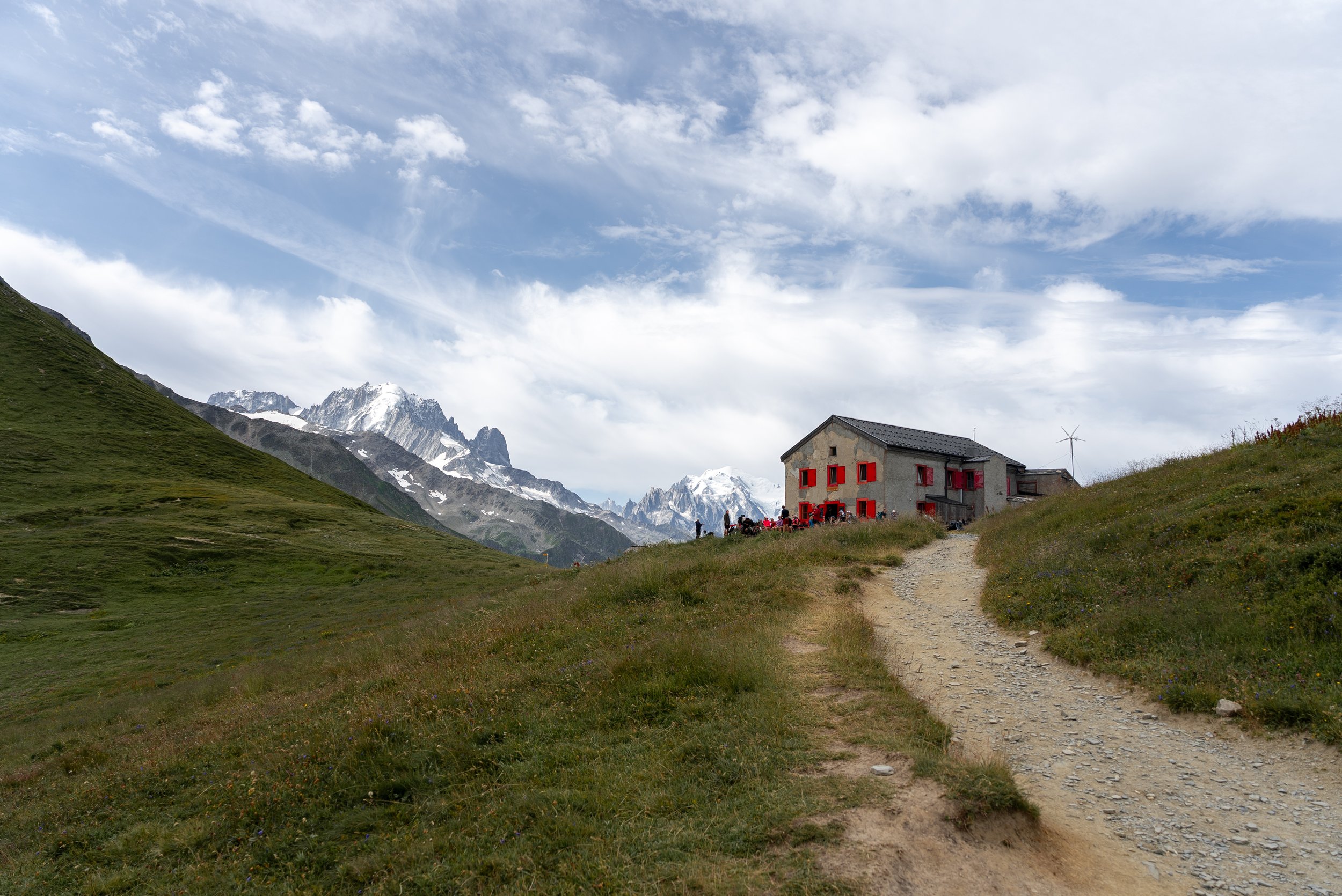
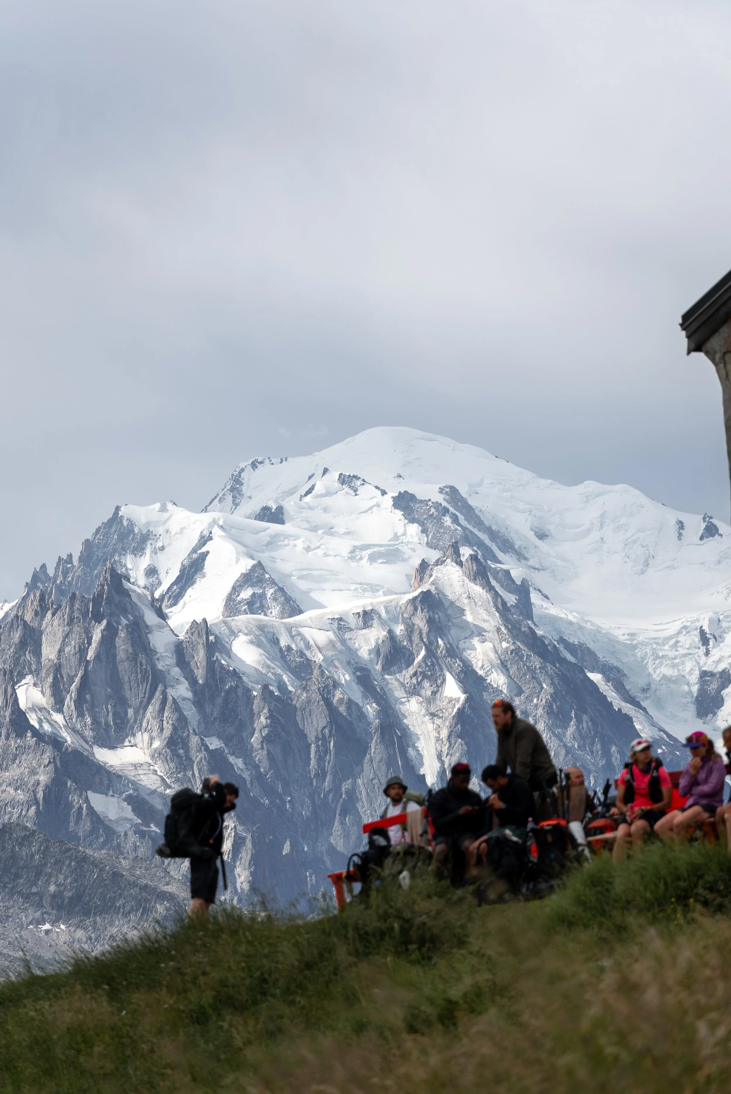
Sitting at 2,191m, Col Du Balme marks the border between Switzerland and France.
Alongside being able to turn our mobile data back on without risking financial ruin, it also provided our first proper glimpse of the northern face of the Mont Blanc massif.
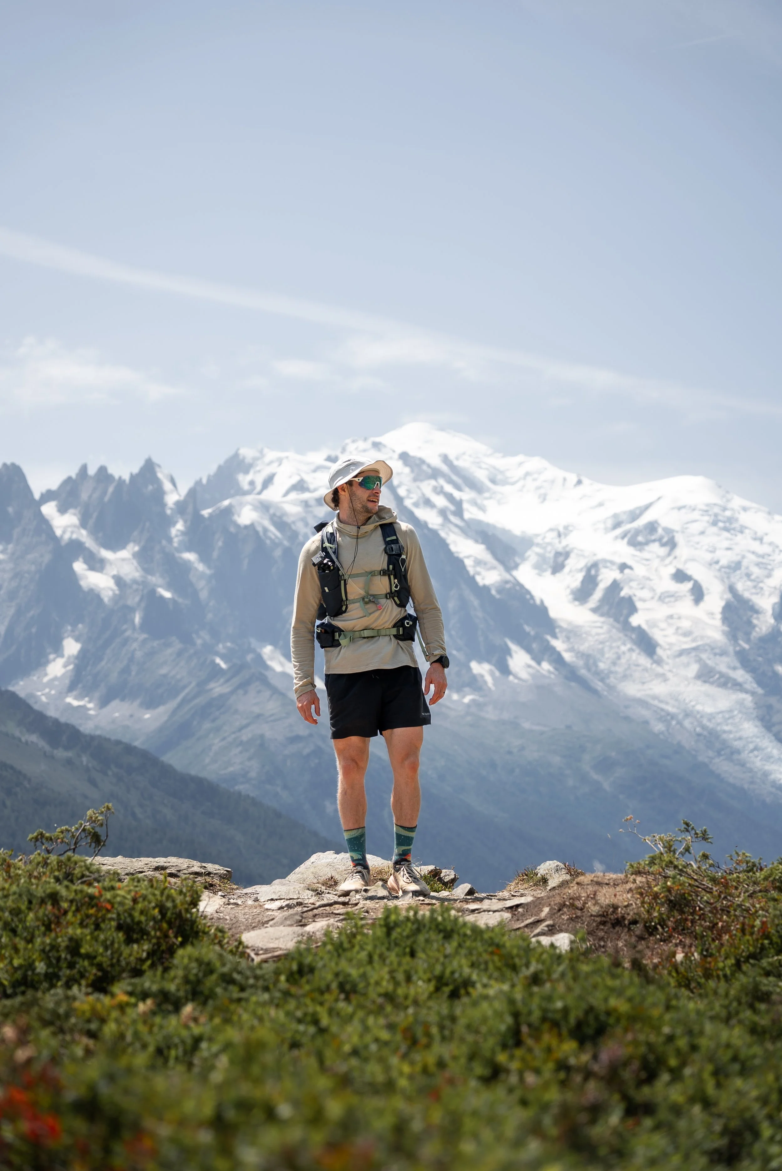
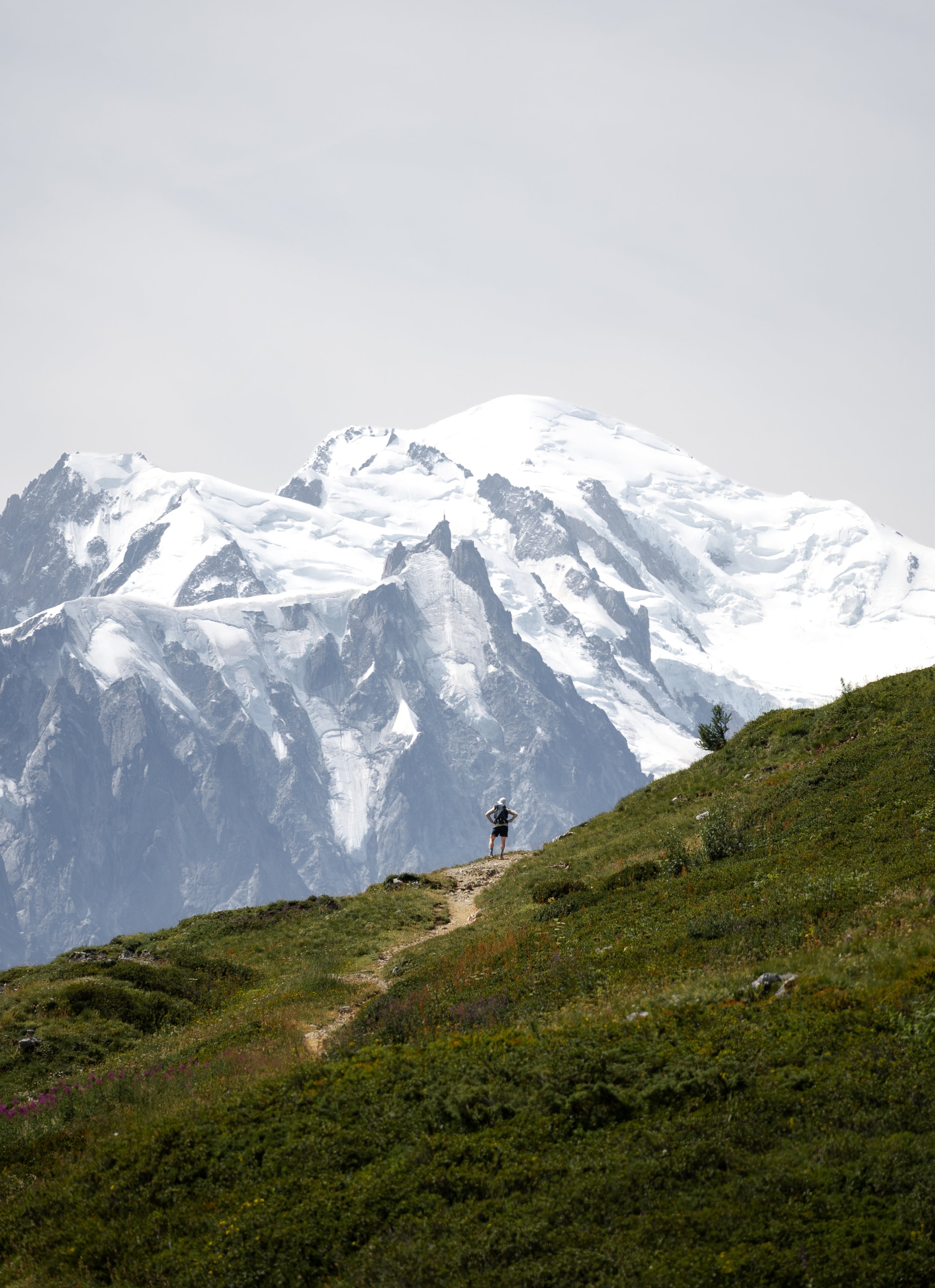
Luke and I could not help but do our best impressions of Owen Wilson, repeatedly saying “wow” as we rounded the corner and the snow-capped peak of Mont Blanc came into view.
After several days of looking at distant ridges, enormous glaciers and mountains surrounding the massif, finally seeing Mont Blanc completely free from cloud and in all its glory felt like a proper reward.
It was easily one of the best views of the trip and, despite only being halfway through the day, had already made Day 5 my favourite.
The refuge at the col serves very good brownies and decent coffee, so we stopped to enjoy both while taking in the view. The outdoor seating area was understandably busy, but with views that good its easy to see why.
If you have the legs, I would also recommend hiking at least part of the way towards Tête de Balme, which rises behind the refuge and offers even better views across both France and Switzerland.
You do not need to climb all the way to the summit to improve the view, but the higher you go, the quieter it becomes, and you may end up having the entire ridge to yourself while everyone else hikes below you.
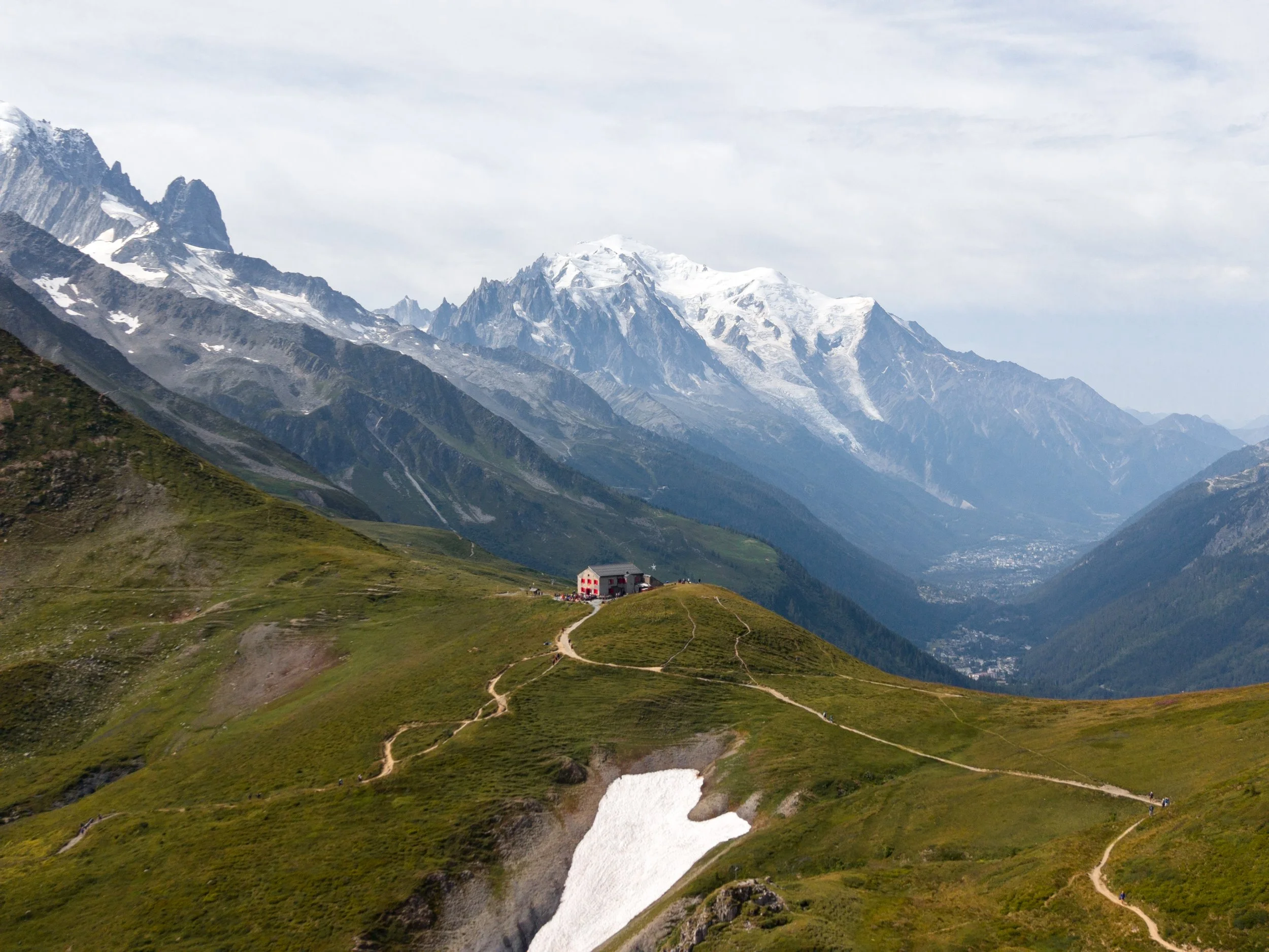
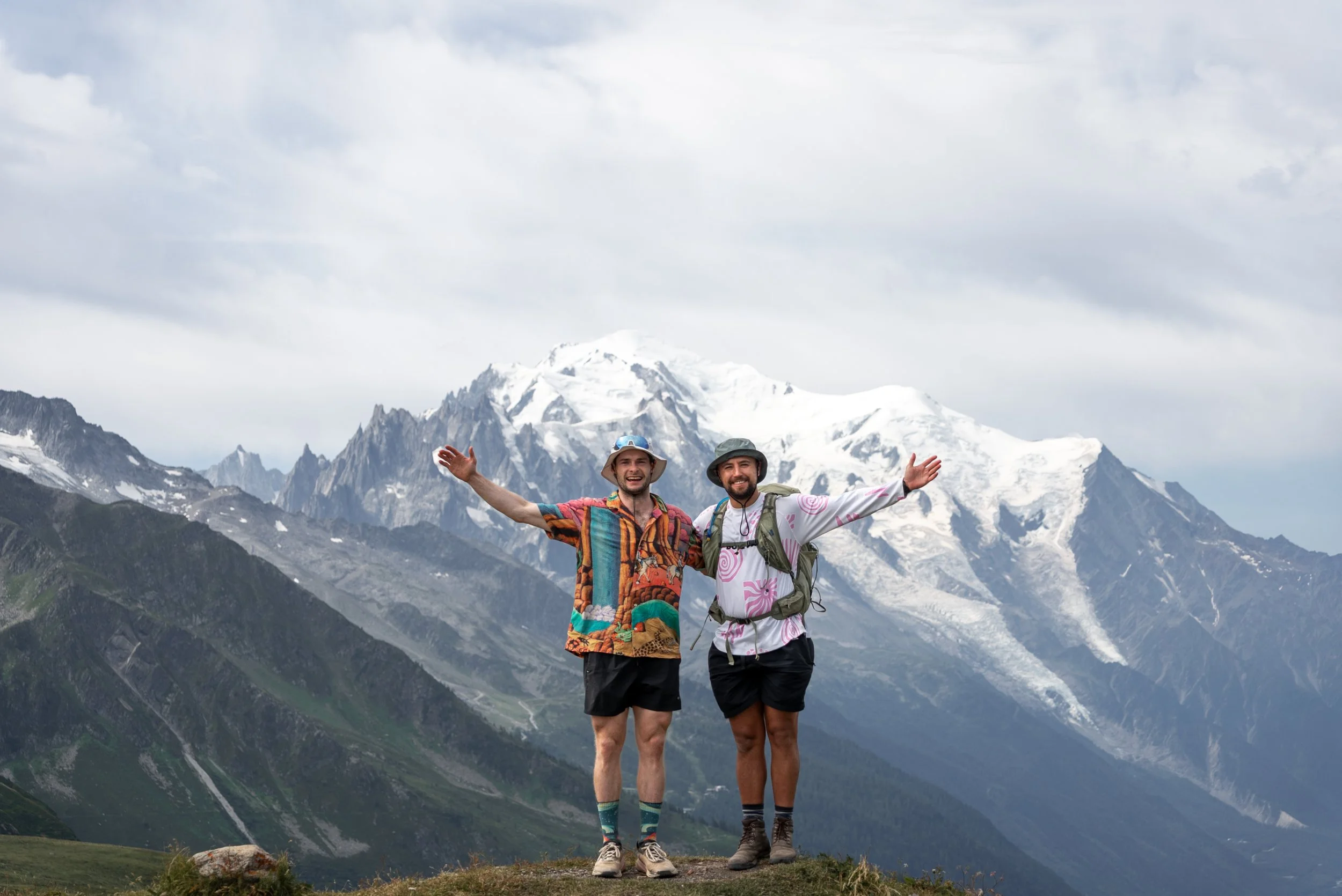
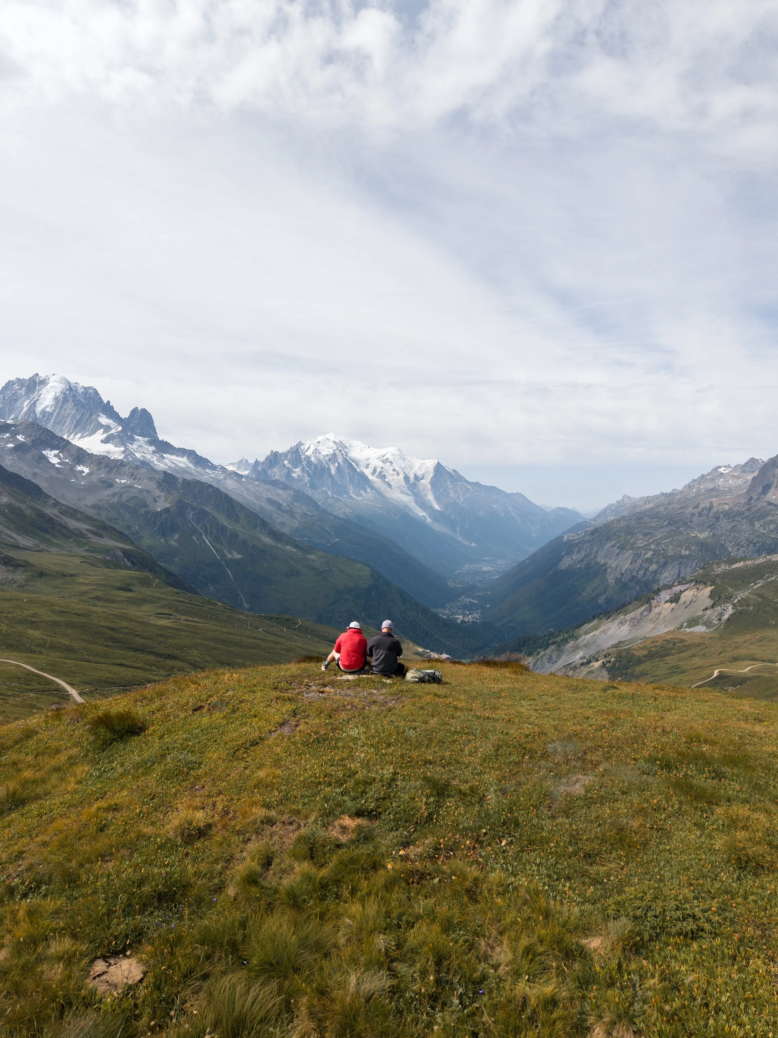
The descent and subsequent climb around Aiguillette des Posettes was arguably the most scenic section of the entire Mont Blanc Trail, with Mont Blanc and the surrounding massif sitting directly opposite us across the valley.
The weather was completely clear, there was barely any wind and the mountains seemed to become more impressive every time we rounded another corner.
It was also one of those sections where progress becomes extremely slow, not because the terrain is particularly difficult, but because you keep stopping to take photographs, film clips and simply stand there admiring the grandeur of Mont Blanc.
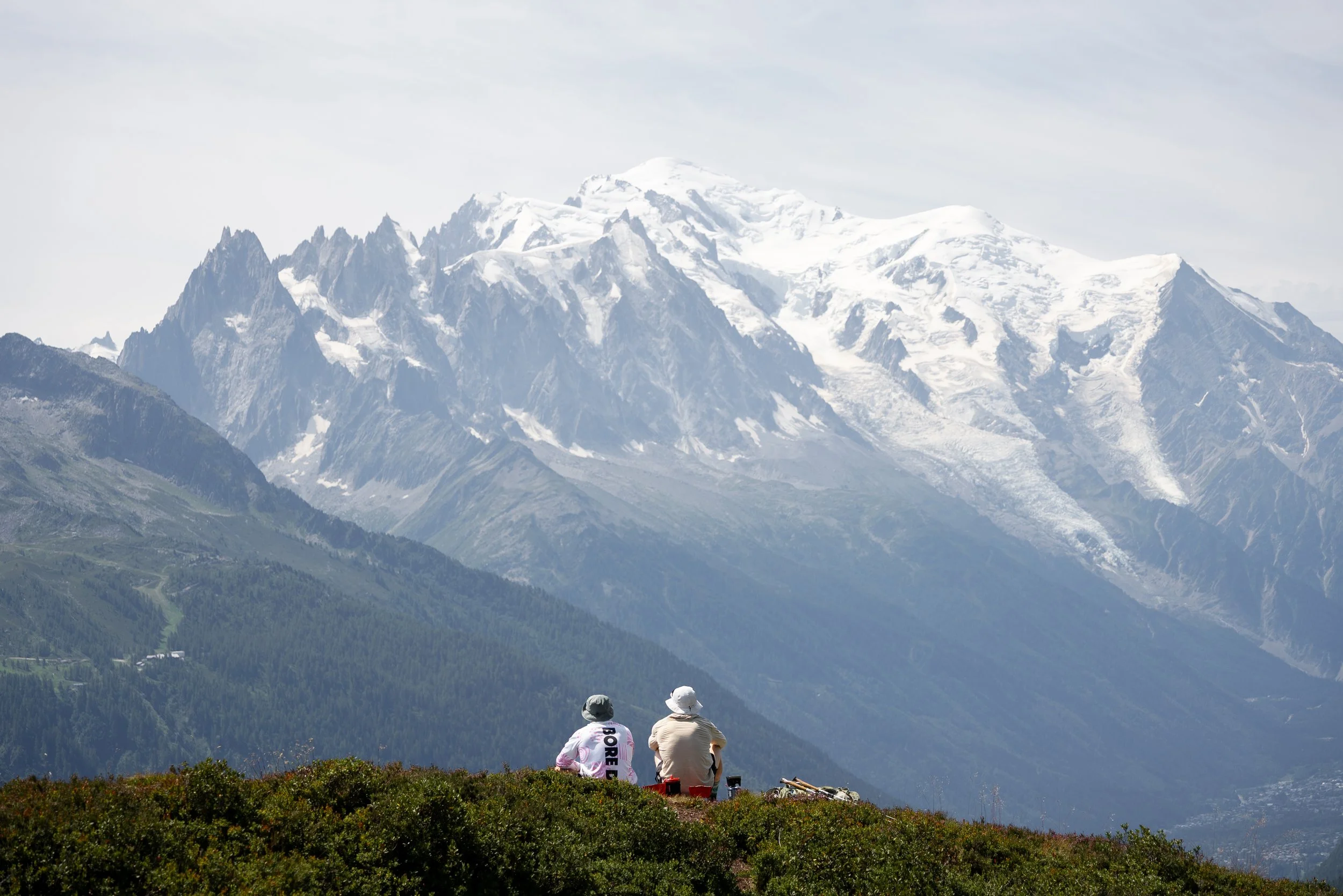
Just before the descent, and around four hours into the hike, we stopped for the best lunch of the trip. We parked ourselves on a grassy bank with an uninterrupted view directly towards Mont Blanc.
After lunch, the route began the final descent towards Montroc Le Planet station, initially dropping steeply across the open mountainside before disappearing into the trees.
It was a long descent, and after five days of hiking, every step down provided another reminder of why poles are a must have. Eventually, the path spat us out near Montroc Le Planet station, marking the end of the official Mont Blanc Trail.
After five days and three countries, we had hiked just shy of 90km and clocked up more than 5,600m of ascent.
A train ticket back to Chamonix was included, which Luke made the sensible decision to use.
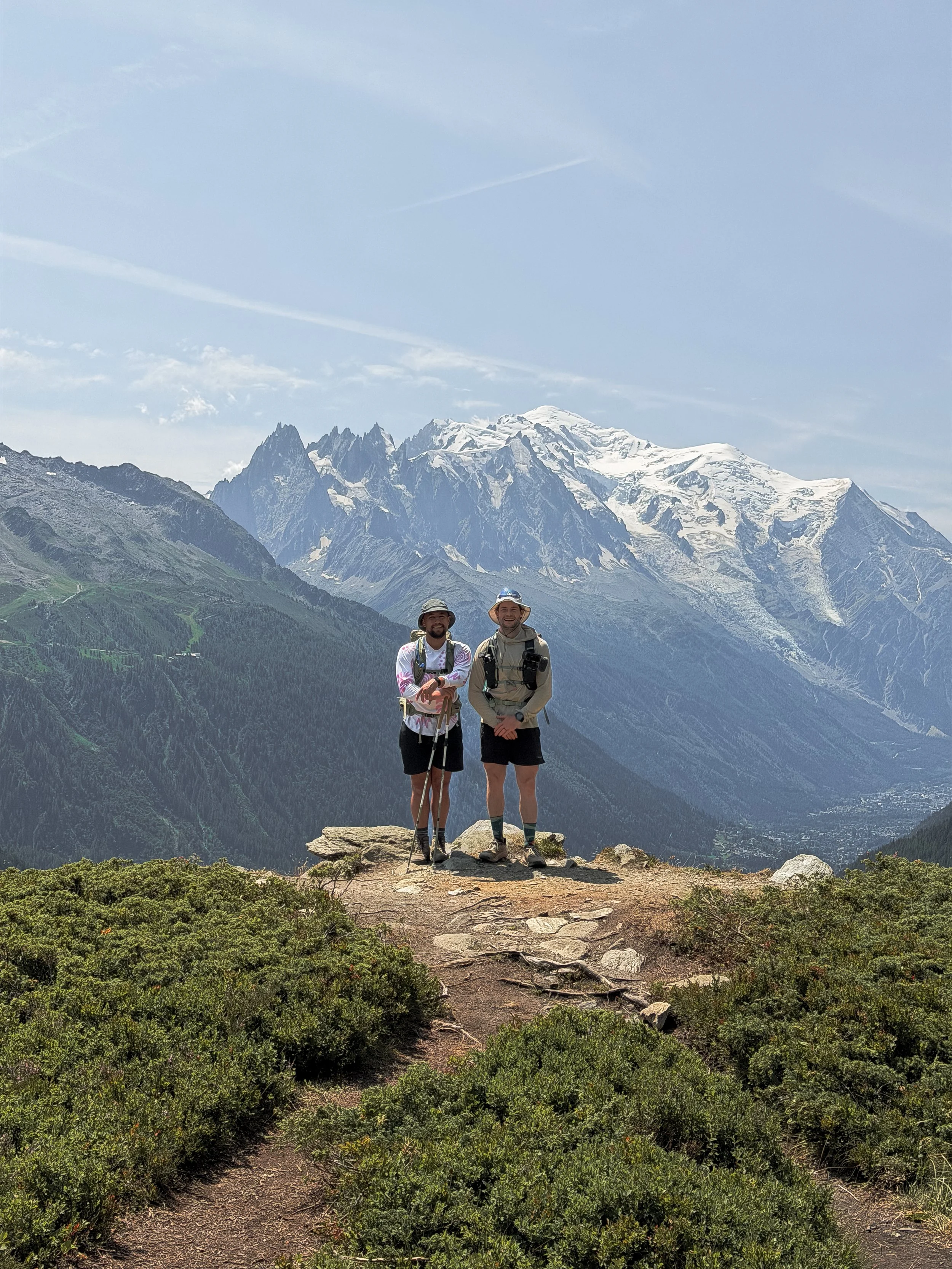
As it was only around 2pm and because I had run all three transfers (around 34km), I worked out that I had already covered approximately 123km of the full TMB route.
By my calculations (and that of my Garmin) I had roughly 48km and three stages remaining. Rather than accepting that five days of hiking was probably enough, I decided to continue onto the next stage)
, climbing from Montroc towards Lac Blanc before descending towards Les Praz beneath the Flégère lift.
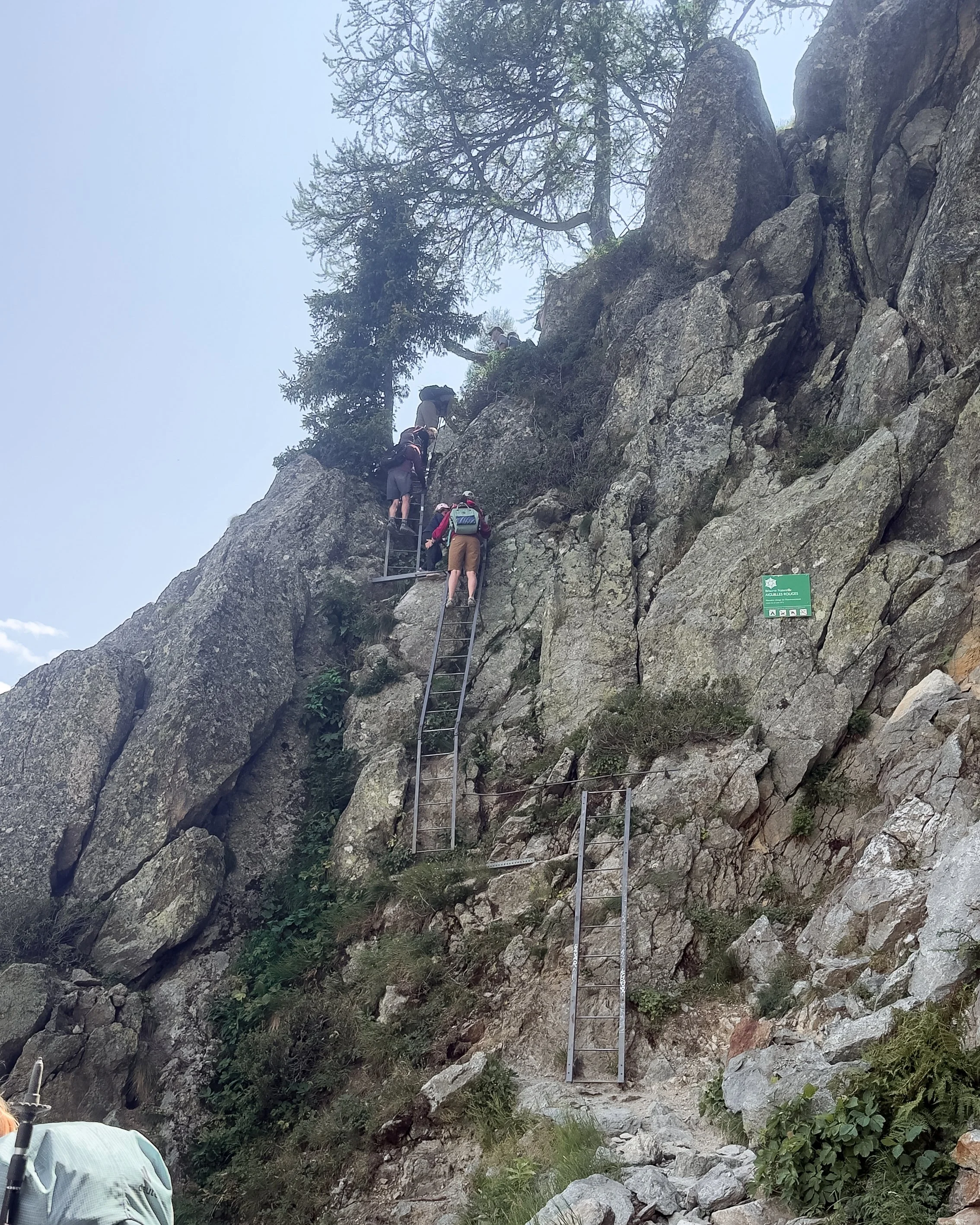
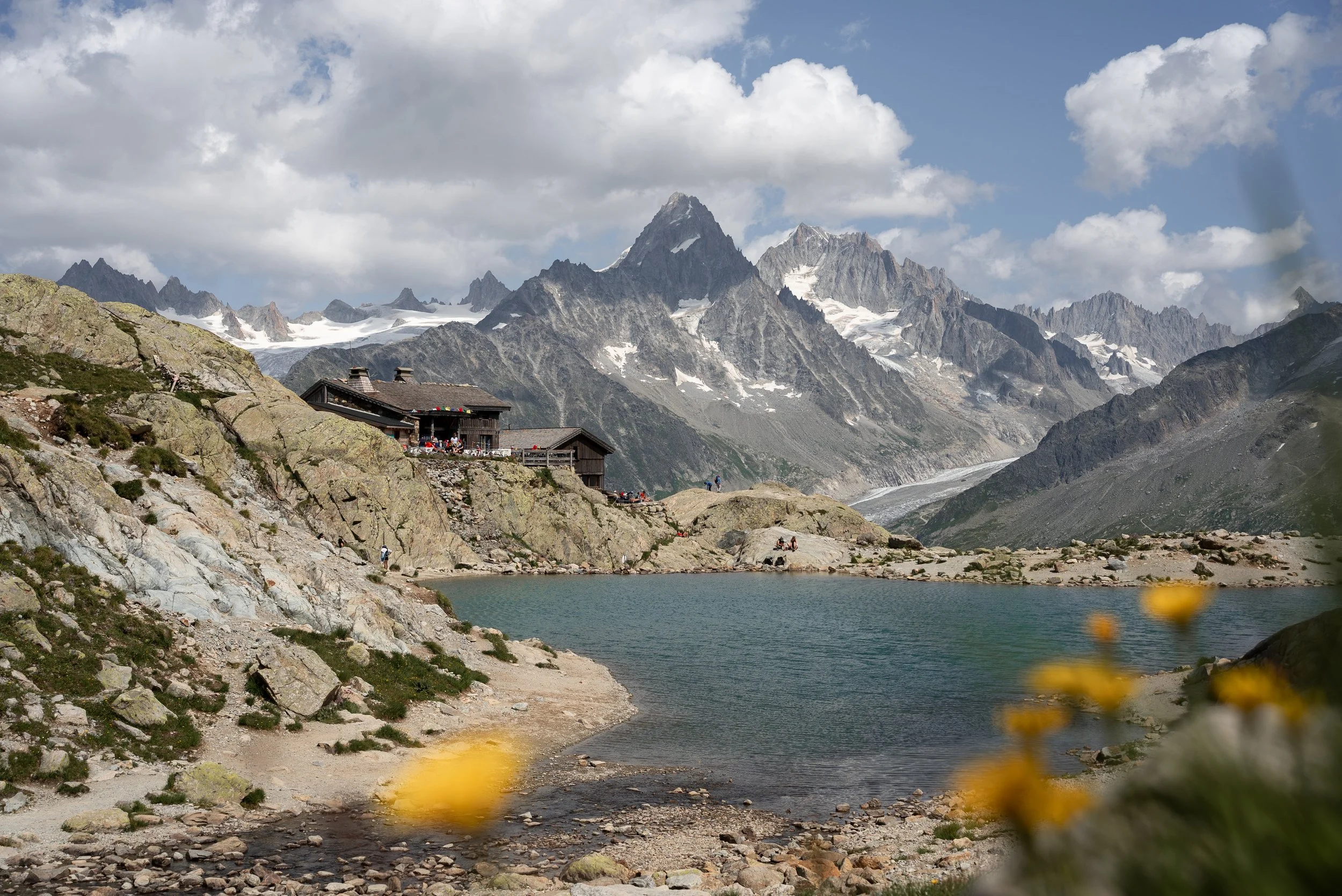
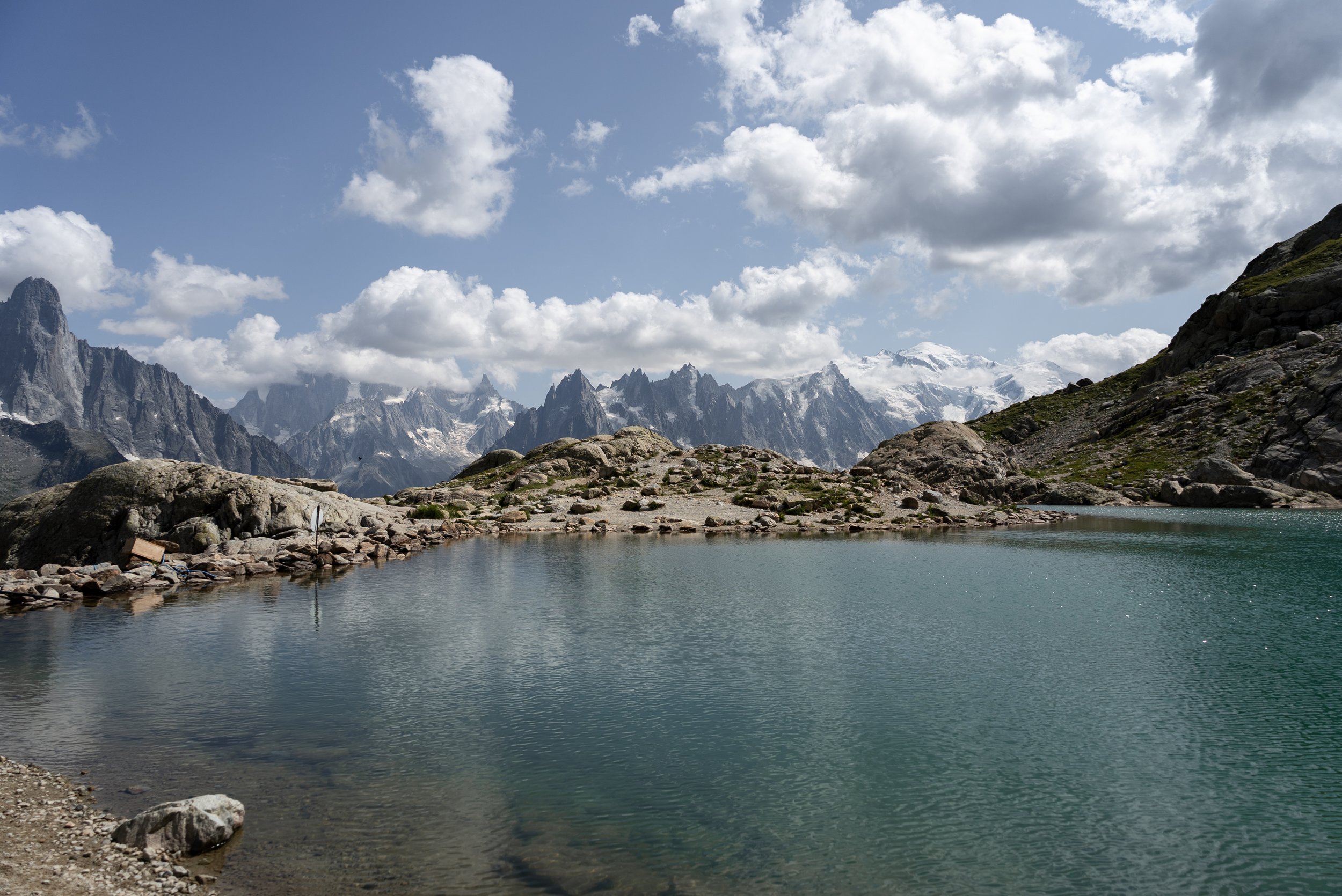
While Luke enjoyed a beer on the terrace, I clocked another 15.35km of the Tour Du Mont blanc with 1,161m of ascent over the next 3 hours and 42 minutes. I ticked of stage 10, conquering the ladders and making a detour up to the impressive Lac Blanc.
Being too tight to pay for the chairlift, I decided to run back down to the hotel, which after around 150m of descent, I immediately regretted. I then spent the remainder of the savagely steep descent, convincing myself that it was all great training for my upcoming Bob Graham Round.
We met again that evening at the hotel booked by Travelbase just outside Chamonix. This is optional extra and not included in the base price, but I would definitely recommend booking it, as it was modern, comfortable and had a café and bar on site.
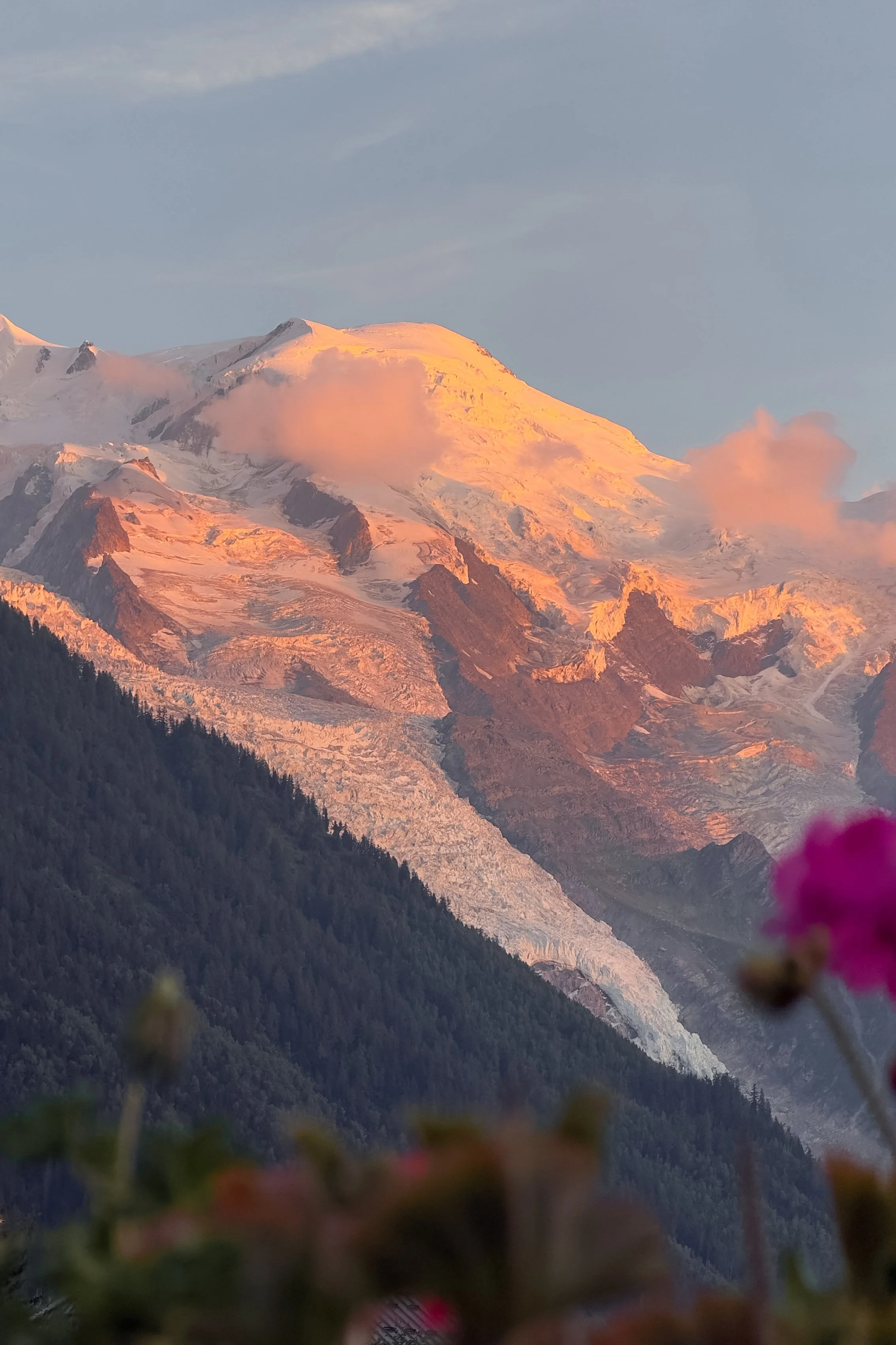
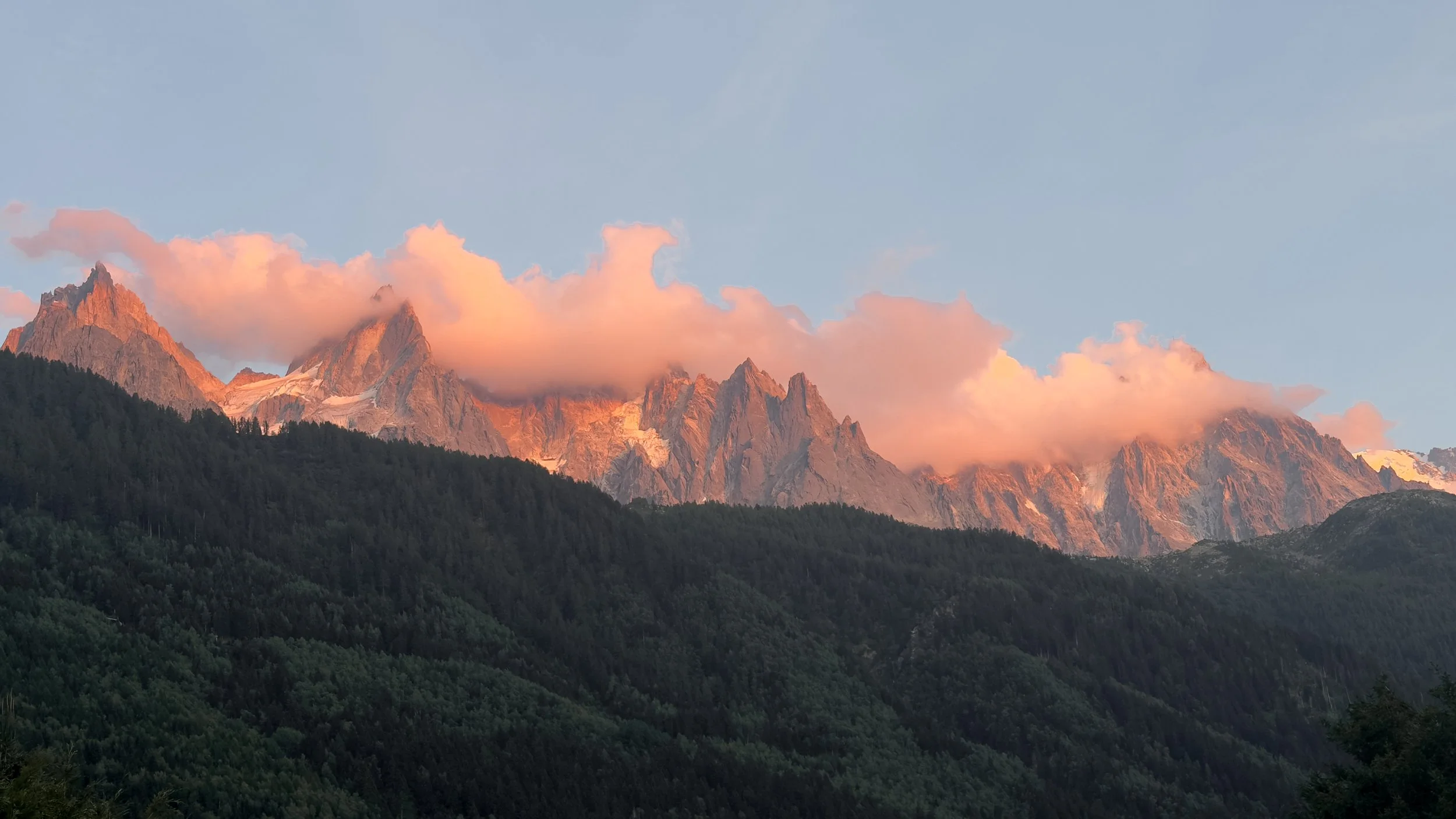
After sharing a drink with some of the people we had got to know over the previous five days, we walked to a nearby French restaurant, La Crèmerie du Moulin, where we enjoyed a delightful meal while watching the sun set across Mont Blanc.
After five days of hiking through France, Italy and Switzerland, it was an incredible end to an incredible trip, even if I personally failed to understand that reaching the finish line normally means you are supposed to stop.
Day 5 was easily my favourite day of the Mont Blanc Trail (and possibly the whole Tour du Mont Blanc) combining a tough final climb with the first proper view of Mont Blanc, an incredible traverse around Aiguillette des Posettes, and the most scenic lunch stop of the week.
Somehow my legs were feeling very good, an after checking the forecast and seeing that thunderstorms were due to arrive from midday on Saturday, I decided I would try to finish the remainder of the TMB the following day.
With that questionable decision made, and another 34km with almost 2,300m of ascent due the next day, we settled down for an early night.
Final Thoughts
Travelbase’s Mont Blanc Trail might not cover every kilometre of the full Tour du Mont Blanc hike, but it succeeds in delivering what it promises, five days hiking some of the best sections of one of the world’s most iconic long-distance trails.
Across just shy of 90km, we crossed through France, Italy and Switzerland, climbed over four major mountain passes, walked beneath enormous glaciers and experienced an incredible variety of landscapes, without needing to take two weeks off work or spend months trying to piece together accommodation across three countries.
Having run the transfer sections myself, I can also confidently say that Travelbase has cut the right parts. The sections we skipped were not bad, but they were noticeably flatter, less varied and far less scenic than the stages included in the trip, meaning your time and energy are spent on the parts of the TMB you have travelled to the Alps to experience.
The daily distances also struck a great balance between challenge and enjoyment. I found the hiking relatively straightforward, but Luke, who is not an experienced multi-day hiker and arrived recovering from a calf injury, was probably a far better test.
He finished every day rewardingly tired rather than completely exhausted, never woke up dreading the next stage and enjoyed the trip enough to agree to another substantial day in the mountains after it had officially finished.
Alongside the scenery, the social element was one of the biggest highlights.
You have the freedom and benefits of either hiking alone at your own pace, or alongside other members of the group, before everyone reconvenes in the evenings to add a much needed social element to the trip
By the end of the week, 23 strangers had become friends, bonding over the journey and getting to experience some of the most spectacular scenery in the Alps.
Choosing the hut package and luggage transport allowed us to enjoy the trip by lightening our packs and avoiding carrying unnecessary kit around the Mont Blanc massif.
Although the accommodation was basic at times, it was always comfortable, the meals were filling and having access to a proper bed, hot shower, and an additional bag with extra supplies each evening made the hiking considerably more enjoyable.
Overall, the Mont Blanc Trail was an incredible five-day adventure that combined the freedom of a self-guided hike with the organisation, support and social atmosphere of a group trip.
It gave us the challenge of a genuine mountain adventure, introduced Luke to the joys of multi-day hiking, and allowed us to experience many of the finest sections of the Tour du Mont Blanc without the logistical headache of organising the full circuit ourselves.
Not a single blister, barely a drop of rain and some of the silliest and most majestical mountain views I have been lucky enough to experience.
It was so good that I would happily do it all again, although next time I might actually stop when the organised trip finishes….
You can find out more and book the Mont Blanc Trail through my Travelbase affiliate link below.
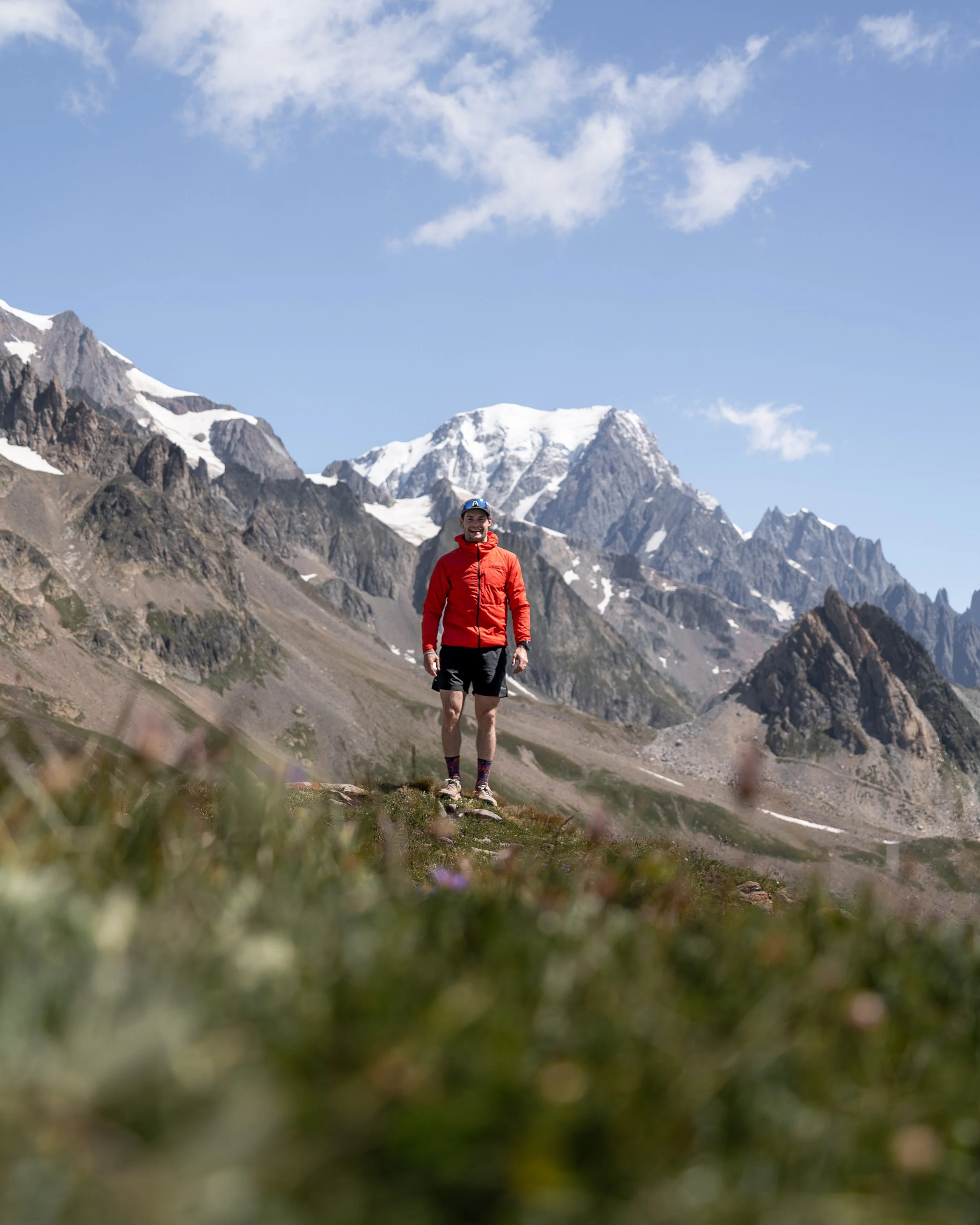
How to Make the Mont blanc Trail even Better
My only recommendation for making the Mont Blanc Trail even better would be to book at least one additional full day in Chamonix, although two would be even better.
The Mont Blanc Trail finishes after Stage 9 of the traditional TMB route, while Stages 10 and 11 continue through the Aiguilles Rouges mountain range.
Sitting directly above Chamonix and running parallel to the Mont Blanc massif, the Aiguilles Rouges offer arguably some of the best direct views of Mont Blanc on the entire TMB.
However, these final stages are steeper, more technical and generally more demanding than many of the earlier sections, involving significant elevation gain, rougher terrain and even several sections of ladders.
This helps explain why they are not included as part of the five-day Mont Blanc Trail.
Thankfully, hiking these sections can be made considerably easier by using the Flégère or Brévent lifts, both of which provide access to the trails across the Aiguilles Rouges.
By making use of the Chamonix lift system, you can experience many of the same views and iconic locations, including Lac Blanc, while carrying a light daypack, putting in considerably less effort and receiving far fewer complaints from your knees.
You certainly do not need to follow my example and turn the extra day into another 34km mountain mission. Simply having another full day to explore the trails, enjoy the views and properly soak it all in is a brilliant way to finish the trip.
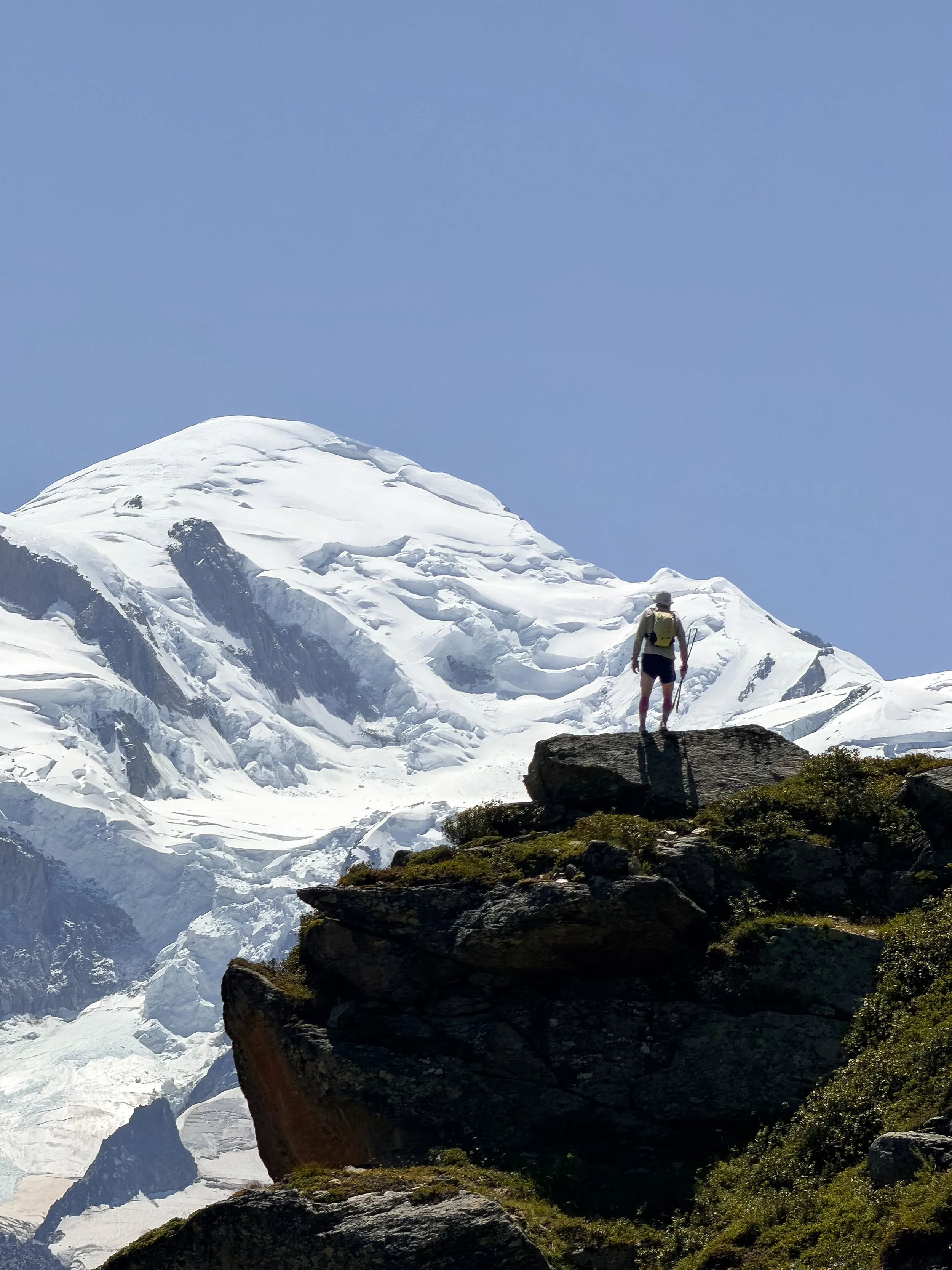
Mont Blanc Trail FAQ’s
-
No. The full Tour du Mont Blanc covers roughly 170km, with more than 10,000m of ascent, and is usually split into 11 stages.
Travelbase’s Mont Blanc Trail is a five-day highlights version, covering between 80km and 90km, depending on the individual and tracking device, with around 5,000m of ascent.
You start in Les Contamines in France and finish at Montroc Le Planet, at the end of Stage 9. You hike between 15km and 21km each day and use transfers to connect five of the strongest sections.
This allows you to hike across France, Italy and Switzerland while experiencing arguably some of the best sections of the Tour du Mont Blanc, without having to complete the entire circuit.
-
The route is challenging, but very manageable for anyone with a decent level of fitness.
Each day covers roughly 16km to 21km, with between 950m and 1,400m of ascent. There are some long climbs and steep descents, but the days are not rushed, and you have up to 10 hours to complete each stage.
My non-hiking friend Luke felt that the trip struck the perfect balance between challenge, scenery and enjoyment.
He is a former rugby player who was recovering from a calf injury and had completed just one hike in the six weeks before the trip.
He found some of the climbs tough, but thought the daily distances were manageable. He finished each day rewardingly tired rather than completely exhausted, and never woke up dreading the next stage.
-
Previous mountain experience will help, but you do not need to be an expert.
Alongside my non-hiking friend Luke, there were plenty of relatively inexperienced hikers on the trip.
The main challenge is not one individual day. It is waking up and doing it again when your legs are already slightly sore from the previous one.
I would strongly recommend completing a few back-to-back longer hikes before the trip, wearing the hiking shoes and backpack you plan to use. Ideally, choose hilly routes with around 500m to 1,000m of ascent and descent.
This will prepare your legs for multi-day hiking and get your body used to the terrain and the kit you will be wearing.
-
There are no highly technical sections on the official five-day route.
Some climbs are steep, several paths are narrow and a few of the descents can feel long, but there are no sections requiring climbing equipment or specialist mountaineering skills.
Proper footwear, either hiking boots or trail running shoes, is essential, and hiking poles are definitely recommended.
Weather can always have an impact on the route.
We did not have a millimetre of rain and the winds were generally very gentle, but that will not always be the case.
Poor weather could make the route considerably more difficult, particularly in heavy rain or strong winds, so you should still be properly equipped and comfortable hiking in the mountains.
-
No. It is a self-guided trip.
The Travelbase rangers provide daily briefings, going over the day’s route while offering practical information and support, but they do not hike with you on the trail.
You hike alone or with other members of the group, navigating using the Travelbase app and the supplied GPX files.
This allows you to hike at your own pace and stop whenever you want.
The rangers may end up hiking one or two of the days, but this is not guaranteed. They will also be doing it for their own enjoyment rather than acting as a guide.
-
Yes. There were several solo travellers on our trip, including lots of solo female hikers. Many naturally teamed up and walked together during the week.
The format works particularly well for solo travellers because you can hike independently or choose to team up, while still having a ready-made group to socialise with each evening.
You are never forced to hike with anyone, but you also do not have to spend the entire trip alone.
You meet everyone on the night before the hike starts, so you have some time to get to know them before setting off.
-
Most days took between six and eight hours, including lunch stops, photographs and questionable amounts of time walking backwards and forwards to the camera to film ourselves.
Faster hikers can complete the stages more quickly, but there is no real advantage in rushing.
Food and briefings are held at set times, which you are told the night before. Unless you want additional time to rest, or the weather is bad, you will get more from the experience by slowing down and enjoying the scenery.
The distances are manageable enough that you can stop for food, add small detours and enjoy the views without worrying about making it back in time for dinner.
-
The views were obviously incredible, but the social element was probably the biggest highlight.
There were 23 people on our trip, with different ages, nationalities, fitness levels and hiking experience.
We did not all hike together during the day, but we regularly met at viewpoints, mountain huts and lunch stops before coming back together in the evenings.
By the end of the trip, everyone had bonded over the views, missed turnings, going too hard on the first few climbs of the day and the occasional questionable meal.
You could hike the same route independently and see the same mountains, but the group dynamic made the overall experience far more memorable.
-
Day 5 was my favourite.
The route climbs from Trient back into France over the Col de Balme, where you are rewarded with your first proper head-on view of Mont Blanc and the surrounding massif.
After spending several days circling the mountain, finally seeing it completely free of cloud and in all its glory felt like a proper reward.
The views continued as we climbed around the Aiguillette des Posettes, where we had our most scenic lunch stop of the trip, before descending towards Montroc.
It was one of the most scenic sections of the entire adventure.
Days 2 and 3 were very close behind, particularly the crossings into Italy and Switzerland, but Day 5 delivered the view everyone had been waiting for.
-
That depends on your budget and how much comfort you want.
Camping is cheaper and gives you a more traditional trekking experience, but you either need to bring or rent camping equipment.
The hut package provides a proper bed every night, all five breakfasts and four evening meals.
Most rooms are shared and bathrooms are usually communal, so it is not a luxury hotel experience. However, it removes the need to carry camping equipment and provides considerably more comfort at the end of each day.
For me, the hut package was worth it because I wanted to travel lightly and was already carrying a considerable amount of camera equipment.
I also did not want the hassle and time-consuming process of pitching and packing away a tent and sleep system every day, or the discomfort of sleeping on three inches of air.
If the hut package seems too expensive, you could combine camping with luggage transport. This means you can still camp without carrying all your heavy equipment between stages.
-
I would say so, both for people staying in huts and those camping.
Luggage transport allows you to hike with a lighter daypack while your larger bag is moved between each night’s accommodation.
This is the case whether you are staying in huts or camping.
It is particularly worthwhile if you are camping, as you can have a separate bag containing your tent, sleep system and evening kit, then hike with only what you need during the day.
However, if you are an experienced hiker, have your equipment selection nailed down or have only travelled with one bag due to airline baggage fees, you may not need the luggage transfer option.
It is not essential, but it made the trip considerably more enjoyable and gave us access to spare clothing, snacks and a few additional luxuries each evening.
-
Yes. Most days involve hiking for five to eight hours, so staying properly fuelled is essential, both for performance and enjoyment.
You should aim to eat something regularly throughout the day, rather than waiting until lunch when your energy levels have already dropped.
I would always carry enough food to complete the day, even when planning to stop for lunch. You can buy food at many mountain huts, restaurants and villages along the route, but not everywhere.
Some huts can be busy, expensive or have limited menus, while certain accommodation locations do not have nearby shops.
Huts may also run out of food, stop serving early or not be serving hot meals at all, so carrying something just in case is extremely important.
I recommend having a supply of snacks available throughout the trip.
This was another benefit of luggage transport. Luke and I brought an excessive number of snacks, then simply selected and carried what we needed each morning.
-
The adventure meal package is not essential, but it gives you much more freedom over where and when you eat.
The package included dehydrated meals from Real Turmat, along with a stove and gas to prepare them. Real Turmat are some of my favourite dehydrated meals, the taste very good, have a great variety of options, and contain roughly 500 to 800 calories per pack.
We balanced the adventure meals with eating at huts along the route. And with the views on offer, Lunch quickly became of of the best stops of the day.
Carrying your own meal means you can eat when the view looks best, rather than stopping where the huts are ( which aren’t always half way into the hike, or are located at
-
Not all huts and small business accept card and some have a minimum spend, so I would recommend carrying €20-40 in cash for emergencies.
Many of the larger huts, restaurants and shops accepted cards, particularly in France and Italy.Switzerland was noticeably more expensive than France or Italy, so prepare yourself emotionally before ordering lunch.
-
Wear comfortable hiking boots or trail shoes that you have already used on longer walks.
The route includes rocky trails, loose ground, steep descents and long days on your feet, so grip, stability and comfort are the most important features.
I prefer trail shoes because they are lighter and suit the way I hike, but boots may offer more protection and stability if that is what you normally wear.
The most important thing is that you have broken them in and have experience walking in them before you arrive.
Trying brand-new shoes is a recipe for disaster and could leave your feet covered in blisters from Day 1.
I wore trail shoes because that is what I have used for hiking over the last several years, and I also run mountain ultras.
Mid-cut boots will provide more protection and offer a little more stability, which may be important if you are less confident on uneven ground.
I would opt for non-waterproof footwear where possible, unless the forecast looks horrendous. The trails can be very hot, and even if your feet get wet, breathable shoes will usually dry relatively quickly.
-
I would strongly recommend them, as they offer huge benefits and are not just for geriatrics or people with bad knees.
Poles bring your upper body into play when hiking uphill and downhill, reducing some of the pressure and strain through your lower-body muscles and joints.
This can help you feel less sore the following morning and allow you to hike for longer while feeling less tired.
They are also useful for preventing slips and falls, particularly when descending.
Poles create four points of contact with the ground, offering much better stability. Some sections of the route are dusty or covered in loose scree, so poles can be a lifesaver on the descents.
They reduce strain during the long climbs and become even more valuable on steep descents, particularly once fatigue begins to build later in the week.
-
As with any hiking trip into the mountains, waterproofs and layers are essential.
We were incredibly lucky and did not experience a single drop of rain during the trip. Most days were warm and calm, although it was cooler and windier on the high passes.
Sun protection is equally important. Bring a hat, sunglasses, sun cream and clothing that covers your skin. Several sections are exposed, with very little shade once you climb above the valleys.
Opt for merino or synthetic clothing rather than cotton, as it dries faster and wicks sweat more effectively.
Personally, I would look for merino socks and T-shirts because they are naturally odour-resistant, meaning you can wear them for several days without them smelling too offensive.
I would also recommend carrying a lightweight windbreaker as well as a waterproof jacket, as some of the passes can feel exposed.
-
The transfers skip three of the flatter valley sections.
I ran the transfer sections during the trip and can confidently say that Travelbase removed the right parts.
They were not unpleasant, but they were noticeably less scenic and varied than the five stages included in the itinerary.
The main section missing from the five-day route is the trail above Chamonix between Montroc, Flégère, Brévent and Les Houches.
This includes some of the best direct views of Mont Blanc. However, it is also tougher and more technical in places, involving very steep climbs and even some ladders and cables.
I can understand why these sections are not included as part of the main trip.
However, I would definitely make time to complete them either before or after your Mont Blanc Trail, especially when you have a lighter daypack and can utilise the Chamonix lift system.
-
Yes, and I would strongly recommend leaving at least one extra day in Chamonix.
You could hike to Lac Blanc, explore the trails between Flégère and Brévent, or use the lifts to reach some of the best viewpoints above the valley.
I continued hiking after the official finish and covered Stages 9, 10, 11 and 1 across another day and a half of hiking.
You do not need to take it quite that far, but adding even half a day above Chamonix would make an excellent finish to the trip.
-
Mountain weather can change quickly, and conditions on the high passes may be very different from those in the valleys.
The rangers provide updates during the daily briefings and can advise on route conditions or potential changes.
However, this remains a self-guided trip, so you are responsible for carrying suitable equipment, checking the forecast and making sensible decisions.
-
In a word, not really, unless you want to sacrifice sleep and possibly the enjoyment of the rest of the trip.
I ran the transfers, but I was only able to do that because I am extremely fit and experienced in trail running. I had recently completed a 60km ultra with 3,600m of ascent and was training for a 100km event with around 8,000m of elevation gain.
I also had Luke on hand. He was able to take my day-hiking pack on the shuttle and wait for me with it at the start of the official route.
This meant I could run with only a waist belt and poles, allowing me to move much faster and more efficiently.
Finally, I ran the road sections rather than sticking to the official TMB trail. This was purely to save time, as I had a limited window to complete each transfer before meeting Luke and the rest of the group.
Had I followed the official trails, I would have needed to leave much earlier and skip breakfast, which was never going to happen.
There are three main transfers during the Mont Blanc Trail:
Day 2: Les Chapieux to La Ville des Glaciers
Approximately 4.5km with 250m of ascent.
This section can easily be hiked, but it is not worth the extra effort. The route simply follows the road through the valley, so you experience almost exactly the same views from the shuttle.
The best scenery begins at La Ville des Glaciers, where the official hiking day starts.
Day 3: Val Veny to Chalet Val Ferret
Approximately 15km with 500m of ascent.
Alongside requiring a very early start, skipping breakfast and adding another three to five hours of hiking to your day, this section would add very little in terms of views.
Breakfast starts at 7am, the shuttle departs at 8:30am and the journey takes around 35 minutes.
The campsite is also located beneath the official TMB route. To follow the proper trail through Courmayeur, you would need to add a significant climb, a steep descent and then another steep climb before beginning the official Travelbase stage.
Rather than rejoining the official TMB route, I ran beside the road followed by the shuttle. It offered very little in the way of views, with most of the route surrounded by trees.
There were occasional glimpses of the glaciers, but they were nothing compared with the scenery we had already experienced.
Day 4: La Fouly to Champex-Lac
Approximately 14km with 500m of ascent.
This is widely considered one of the least interesting sections of the TMB, and having run it, I can understand why.
The main TMB path skirts either side of the road and is mostly within woodland or alongside the river. I followed the road because I was short on time.
The route descends for around 9km before climbing for approximately 5km through the trees.
The scenery is pleasant, but it is nothing compared with what you have already seen or what you will experience later that day. The climb to Champex-Lac is steep and mostly hidden within the forest, so there are very few views.
You would be much better spending an extra hour at the bakery where the shuttle drops you off, then heading down to Champex-Lac for a swim.
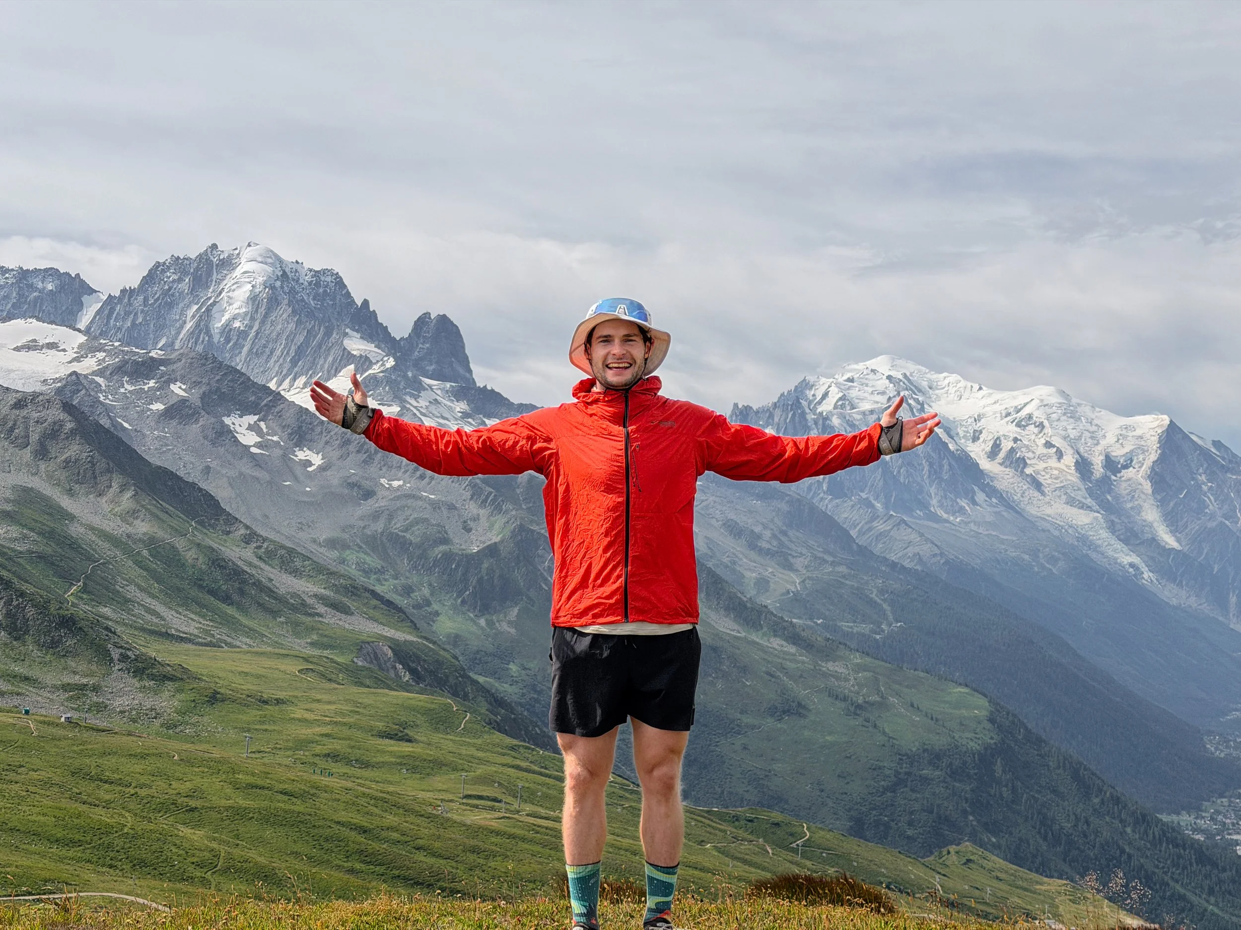
Help support what I do
I created and I run this website in order to help inform, amaze, inspire people (for free) to get outside and explore the adventurous side of the UK and beyond.
Although I do run some google ads, I have limited them in order to make your experience on this website far more enjoyable.
If you’d like to support this website, you can use the affiliate links below to book your accommodation or transport. These come at no extra cost to you, but help keep this site running.
If you are felling generous you can also buy me a coffee to say thank you, and give me a follow on social media.
Book your car using Discover Cars
Book your accommodation using Booking.com
Thank you, and if you have any questions, leave them in the comments below or drop me an email!